2002
Tropical Depression NOT_NAMED (2002096N11155)
IBTrACS version v04r00. Visit
IBTrACS website for data access.
Please direct all questions to the
IBTrACS Q and A forum
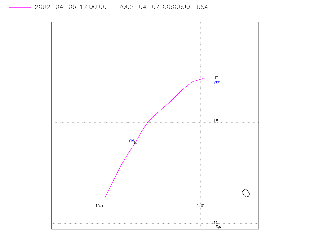
Storm track
-
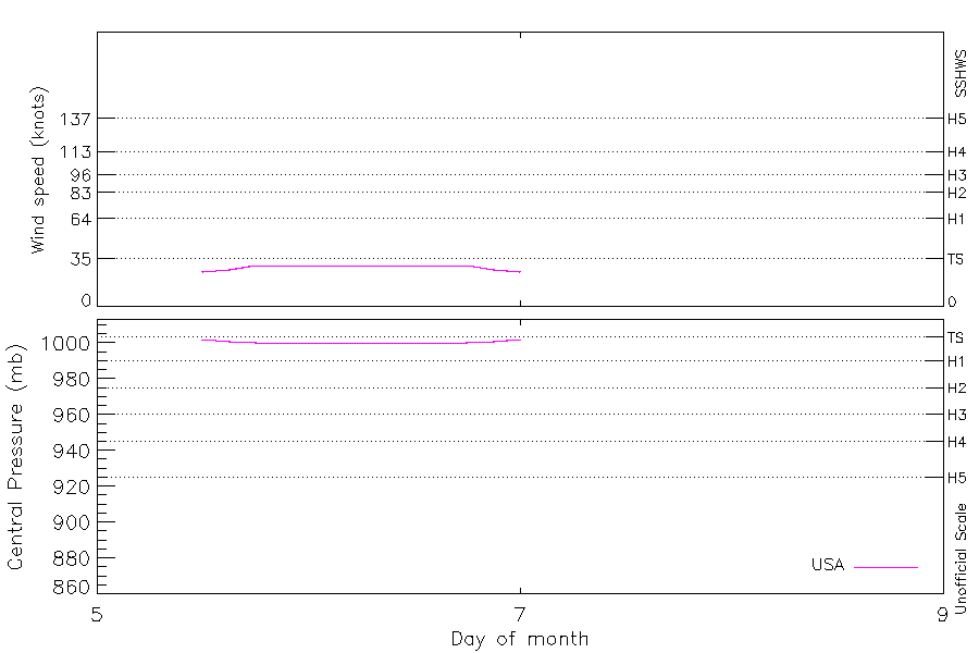
Intensity
-
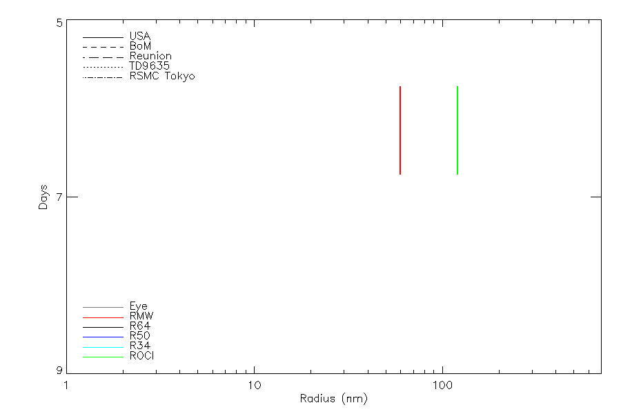
Wind Radii
-
Intensity Data
-
Source Data
-
All data
Summary Information
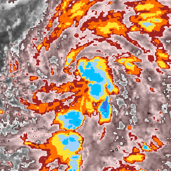
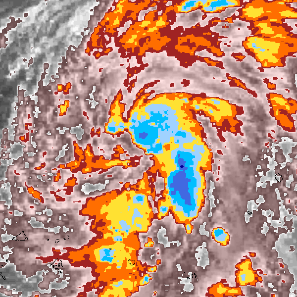
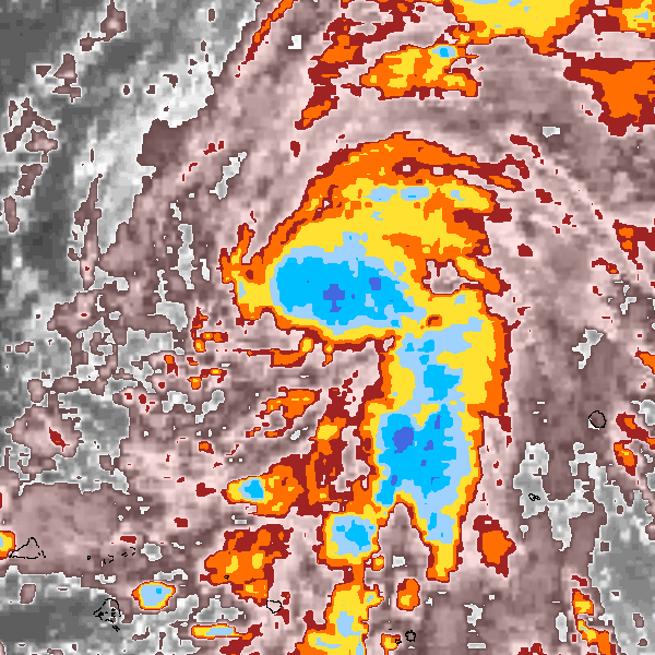
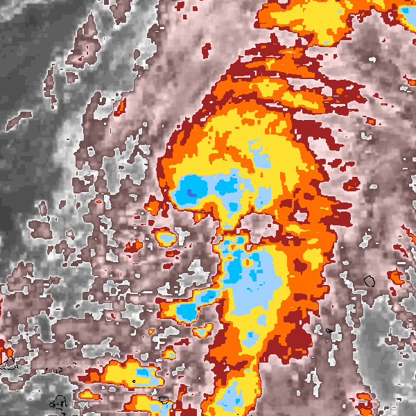
Storm track plot
|
Intensity plots
|
Radial wind information
|
Position and Intensity Table
Source Information
| Agency |
Information |
| USA |
bwp042002.txt |
| TOKYO |
|
| CMA |
|
| HKO |
|
| NEWDELHI |
|
| REUNION |
|
| BOM |
|
| NADI |
|
| WELLINGTON |
|
| DS824 |
|
| TD9636 |
|
| TD9635 |
|
| NEUMANN |
|
| MLC |
|
All available IBTrACS Data
| SEASON |
BASIN |
SUBBASIN |
ISO_TIME_________ |
NATURE |
LAT |
LON |
DIST2LAND |
LANDFALL |
IFLAG |
USA AGENCY |
USA ATCF_ID |
USA LAT |
USA LON |
USA STATUS |
USA WIND |
USA PRES |
USA SSHS |
USA POCI |
USA ROCI |
USA RMW |
STORM SPEED |
STORM DIR |
| Year |
|
|
|
|
degrees north |
degrees east |
km |
km |
|
|
|
degrees north |
degrees east |
|
kts |
mb |
1 |
mb |
nmile |
nmile |
kts |
degrees |
| 2002 |
WP |
MM |
2002-04-05 12:00:00 |
TS |
11.30 |
155.30 |
1642 |
1642 |
O_____________ |
jtwc_wp |
WP042002 |
11.30 |
155.30 |
TD |
25 |
1002 |
-1 |
|
|
|
19 |
25 |
| 2002 |
WP |
MM |
15:00:00 |
TS |
12.15 |
155.71 |
1741 |
1741 |
P_____________ |
|
WP042002 |
12.15 |
155.71 |
TD |
27 |
1001 |
-1 |
|
|
|
18 |
26 |
| 2002 |
WP |
MM |
18:00:00 |
TS |
12.90 |
156.10 |
1839 |
1839 |
O_____________ |
jtwc_wp |
WP042002 |
12.90 |
156.10 |
TD |
30 |
1000 |
-1 |
1006 |
120 |
60 |
15 |
29 |
| 2002 |
WP |
MM |
21:00:00 |
TS |
13.49 |
156.47 |
1917 |
1917 |
P_____________ |
|
WP042002 |
13.49 |
156.47 |
TD |
30 |
1000 |
-1 |
1006 |
120 |
60 |
13 |
32 |
| 2002 |
WP |
MM |
2002-04-06 00:00:00 |
TS |
14.00 |
156.80 |
1981 |
1981 |
O_____________ |
jtwc_wp |
WP042002 |
14.00 |
156.80 |
TD |
30 |
1000 |
-1 |
1006 |
120 |
60 |
12 |
30 |
| 2002 |
WP |
MM |
03:00:00 |
TS |
14.51 |
157.07 |
2044 |
2044 |
P_____________ |
|
WP042002 |
14.51 |
157.07 |
TD |
30 |
1000 |
-1 |
1006 |
120 |
60 |
12 |
30 |
| 2002 |
WP |
MM |
06:00:00 |
TS |
15.00 |
157.40 |
2108 |
2108 |
O_____________ |
jtwc_wp |
WP042002 |
15.00 |
157.40 |
TD |
30 |
1000 |
-1 |
1006 |
120 |
60 |
13 |
39 |
| 2002 |
WP |
MM |
09:00:00 |
TS |
15.50 |
157.91 |
2179 |
2179 |
P_____________ |
|
WP042002 |
15.50 |
157.91 |
TD |
30 |
1000 |
-1 |
1006 |
120 |
60 |
15 |
47 |
| 2002 |
WP |
MM |
12:00:00 |
TS |
16.00 |
158.50 |
2255 |
2255 |
O_____________ |
jtwc_wp |
WP042002 |
16.00 |
158.50 |
TD |
30 |
1000 |
-1 |
1006 |
120 |
60 |
15 |
46 |
| 2002 |
WP |
MM |
15:00:00 |
TS |
16.56 |
159.04 |
2338 |
2338 |
P_____________ |
|
WP042002 |
16.56 |
159.04 |
TD |
30 |
1000 |
-1 |
1006 |
120 |
60 |
15 |
47 |
| 2002 |
WP |
MM |
18:00:00 |
TS |
17.00 |
159.60 |
2404 |
2404 |
O_____________ |
jtwc_wp |
WP042002 |
17.00 |
159.60 |
TD |
30 |
1000 |
-1 |
1006 |
120 |
60 |
13 |
61 |
| 2002 |
WP |
MM |
21:00:00 |
TS |
17.18 |
160.19 |
2451 |
2451 |
P_____________ |
|
WP042002 |
17.18 |
160.19 |
TD |
27 |
1001 |
-1 |
|
|
|
12 |
80 |
| 2002 |
WP |
MM |
2002-04-07 00:00:00 |
TS |
17.20 |
160.80 |
2480 |
|
O_____________ |
jtwc_wp |
WP042002 |
17.20 |
160.80 |
TD |
25 |
1002 |
-1 |
|
|
|
12 |
88 |