1992
Tropical Low NOT_NAMED (1992044S14128)
IBTrACS version v04r00. Visit
IBTrACS website for data access.
Please direct all questions to the
IBTrACS Q and A forum
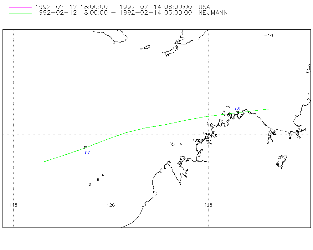
Storm track
-
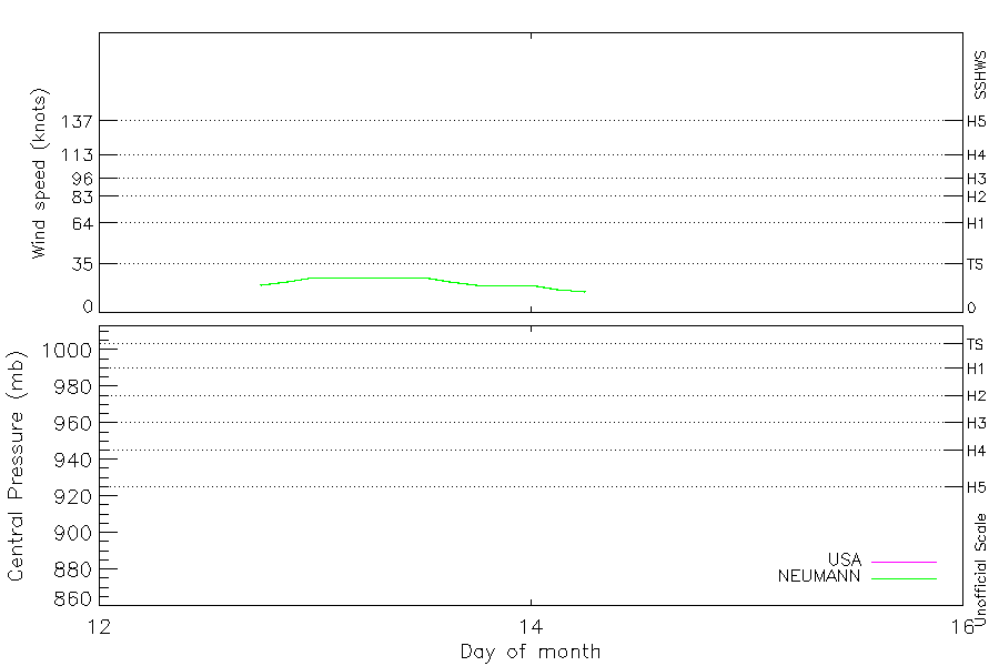
Intensity
-
Wind Radii
-
Intensity Data
-
Source Data
-
All data
Summary Information
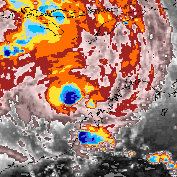
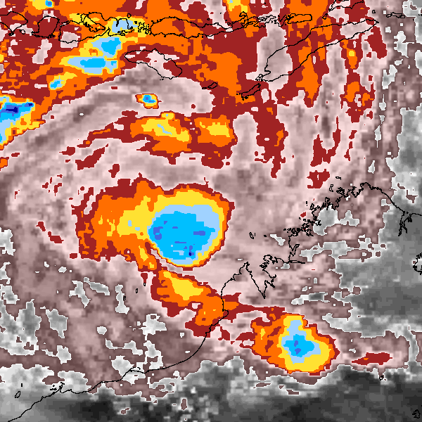
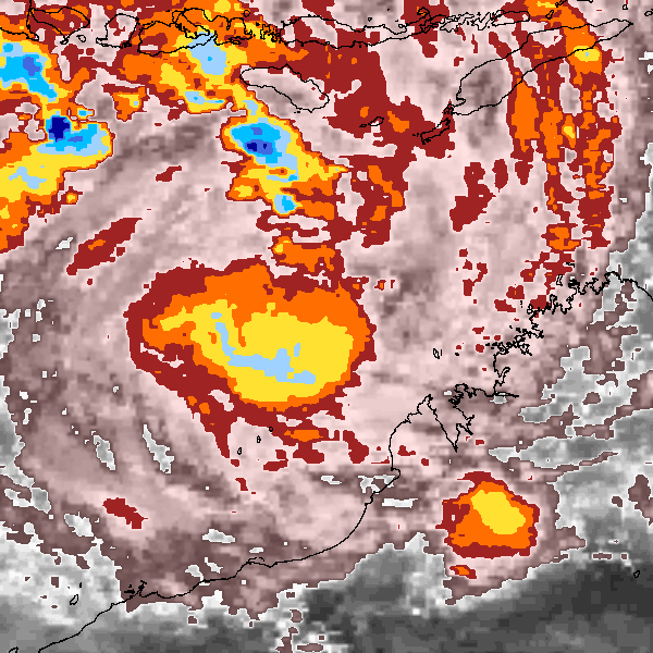
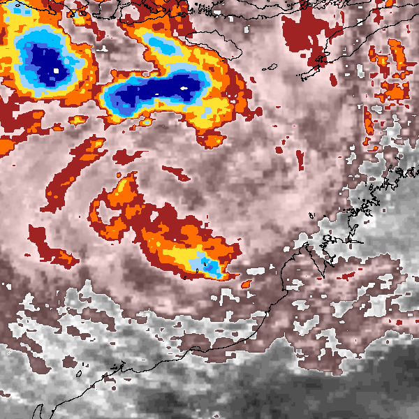
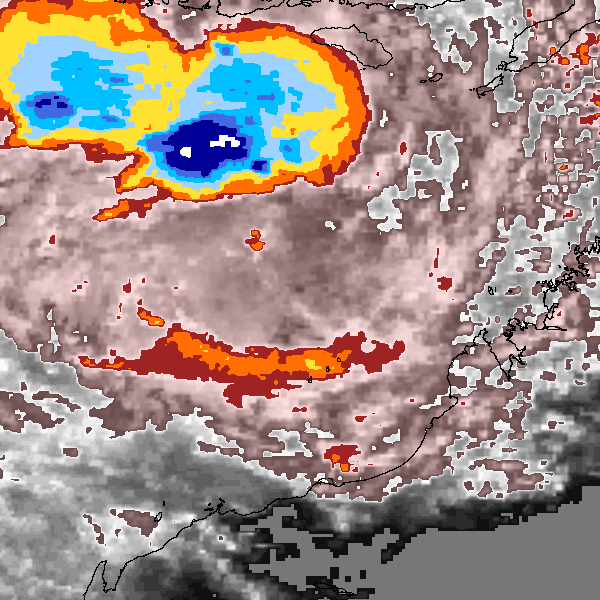
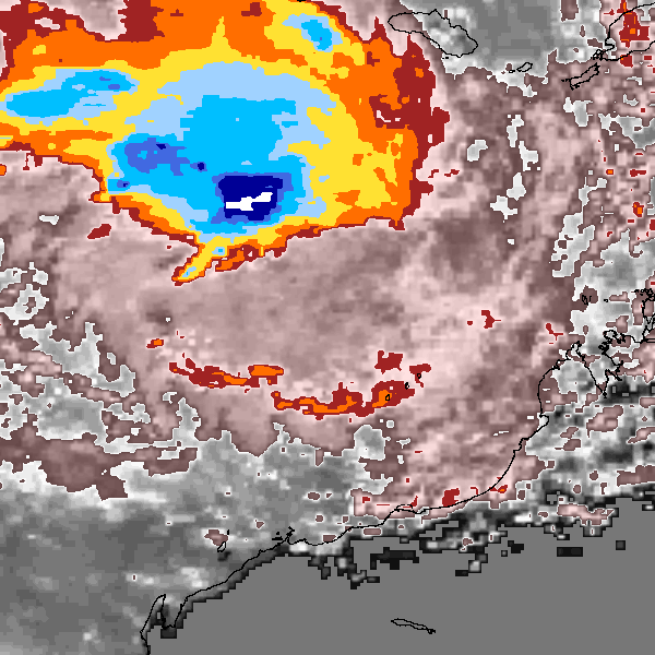
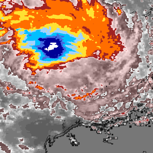
Storm track plot
|
Intensity plots
|
Radial wind information
No radial wind information for this storm
|
Position and Intensity Table
Source Information
| Agency |
Information |
| USA |
bsh161992.txt |
| TOKYO |
|
| CMA |
|
| HKO |
|
| NEWDELHI |
|
| REUNION |
|
| BOM |
|
| NADI |
|
| WELLINGTON |
|
| DS824 |
|
| TD9636 |
|
| TD9635 |
|
| NEUMANN |
tracks.sh:Storm=937:HSK1692:BSH161992:JTWC |
| MLC |
|
All available IBTrACS Data
| SEASON |
BASIN |
SUBBASIN |
ISO_TIME_________ |
NATURE |
LAT |
LON |
DIST2LAND |
LANDFALL |
IFLAG |
USA AGENCY |
USA ATCF_ID |
USA LAT |
USA LON |
USA WIND |
USA SSHS |
NEUMANN LAT |
NEUMANN LON |
NEUMANN CLASS |
NEUMANN WIND |
STORM SPEED |
STORM DIR |
| Year |
|
|
|
|
degrees north |
degrees east |
km |
km |
|
|
|
degrees north |
degrees east |
kts |
1 |
degrees north |
degrees east |
|
kts |
kts |
degrees |
| 1992 |
SI |
WA |
1992-02-12 18:00:00 |
TS |
-13.70 |
128.10 |
70 |
21 |
O___________O_ |
jtwc_sh |
SH161992 |
-13.70 |
128.10 |
20 |
-1 |
-13.70 |
128.10 |
TC |
20 |
16 |
262 |
| 1992 |
SI |
WA |
21:00:00 |
TS |
-13.81 |
127.30 |
21 |
0 |
P___________P_ |
|
SH161992 |
-13.81 |
127.30 |
22 |
-1 |
-13.81 |
127.30 |
TC |
22 |
16 |
263 |
| 1992 |
SI |
WA |
1992-02-13 00:00:00 |
TS |
-13.90 |
126.50 |
11 |
10 |
O___________O_ |
jtwc_sh |
SH161992 |
-13.90 |
126.50 |
25 |
-1 |
-13.90 |
126.50 |
TC |
25 |
16 |
264 |
| 1992 |
SI |
WA |
03:00:00 |
TS |
-13.98 |
125.68 |
33 |
33 |
P___________P_ |
|
SH161992 |
-13.98 |
125.68 |
25 |
-1 |
-13.98 |
125.68 |
TC |
25 |
17 |
263 |
| 1992 |
SI |
WA |
06:00:00 |
TS |
-14.10 |
124.80 |
70 |
70 |
O___________O_ |
jtwc_sh |
SH161992 |
-14.10 |
124.80 |
25 |
-1 |
-14.10 |
124.80 |
TC |
25 |
18 |
261 |
| 1992 |
SI |
WA |
09:00:00 |
TS |
-14.28 |
123.82 |
147 |
147 |
P___________P_ |
|
SH161992 |
-14.28 |
123.82 |
25 |
-1 |
-14.28 |
123.82 |
TC |
25 |
20 |
258 |
| 1992 |
SI |
WA |
12:00:00 |
TS |
-14.50 |
122.80 |
211 |
211 |
O___________O_ |
jtwc_sh |
SH161992 |
-14.50 |
122.80 |
25 |
-1 |
-14.50 |
122.80 |
TC |
25 |
20 |
259 |
| 1992 |
SI |
WA |
15:00:00 |
TS |
-14.67 |
121.81 |
233 |
233 |
P___________P_ |
|
SH161992 |
-14.67 |
121.81 |
22 |
-1 |
-14.67 |
121.81 |
TC |
22 |
20 |
258 |
| 1992 |
SI |
WA |
18:00:00 |
TS |
-14.90 |
120.80 |
286 |
286 |
O___________O_ |
jtwc_sh |
SH161992 |
-14.90 |
120.80 |
20 |
-1 |
-14.90 |
120.80 |
TC |
20 |
21 |
253 |
| 1992 |
SI |
WA |
21:00:00 |
TS |
-15.28 |
119.76 |
334 |
334 |
P___________P_ |
|
SH161992 |
-15.28 |
119.76 |
20 |
-1 |
-15.28 |
119.76 |
TC |
20 |
22 |
248 |
| 1992 |
SI |
WA |
1992-02-14 00:00:00 |
TS |
-15.70 |
118.70 |
413 |
413 |
O___________O_ |
jtwc_sh |
SH161992 |
-15.70 |
118.70 |
20 |
-1 |
-15.70 |
118.70 |
TC |
20 |
22 |
249 |
| 1992 |
SI |
WA |
03:00:00 |
TS |
-16.07 |
117.65 |
474 |
469 |
P___________P_ |
|
SH161992 |
-16.07 |
117.65 |
17 |
-1 |
-16.07 |
117.65 |
TC |
17 |
21 |
251 |
| 1992 |
SI |
WA |
06:00:00 |
TS |
-16.40 |
116.60 |
470 |
|
O___________O_ |
jtwc_sh |
SH161992 |
-16.40 |
116.60 |
15 |
-1 |
-16.40 |
116.60 |
TC |
15 |
21 |
252 |