1989
Tropical Depression NOT_NAMED (1989026N11127)
IBTrACS version v04r00. Visit
IBTrACS website for data access.
Please direct all questions to the
IBTrACS Q and A forum
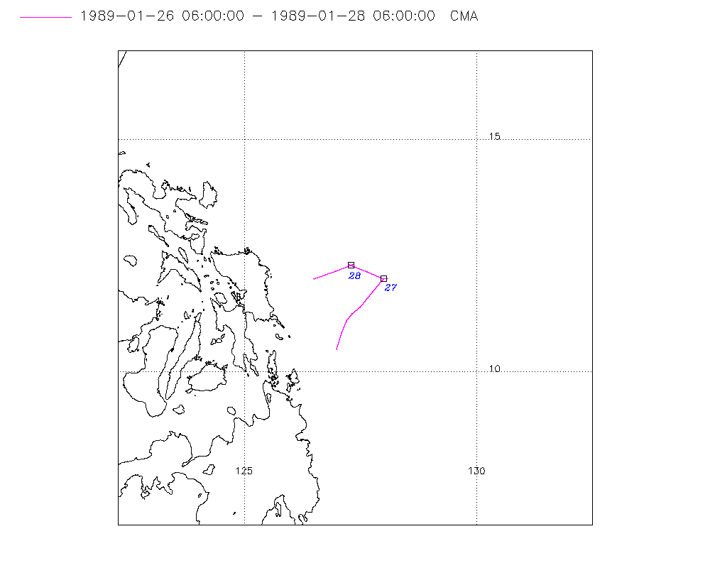
Storm track
-
Intensity
-
Wind Radii
-
Intensity Data
-
Source Data
-
All data
Summary Information
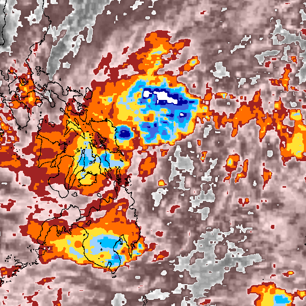
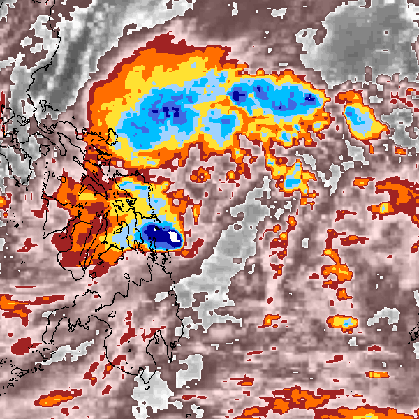
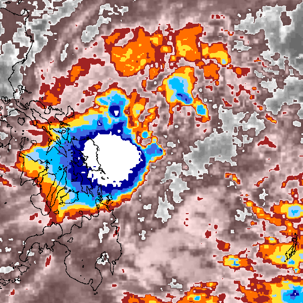
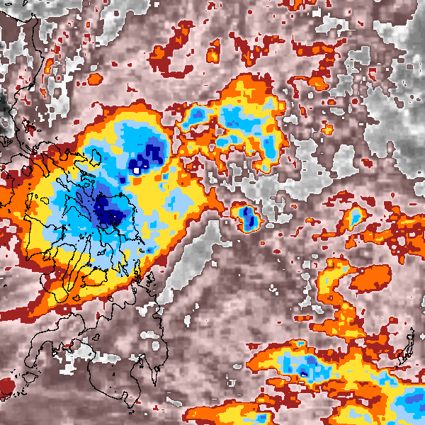
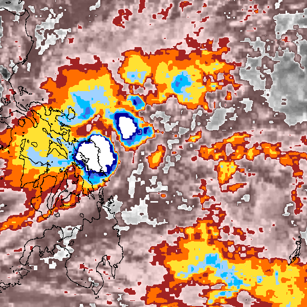
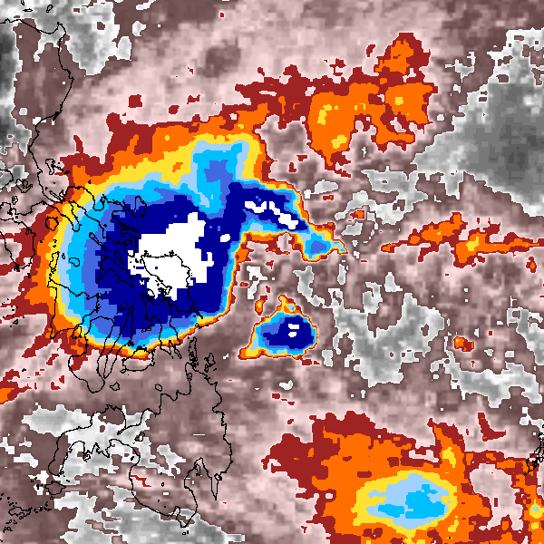
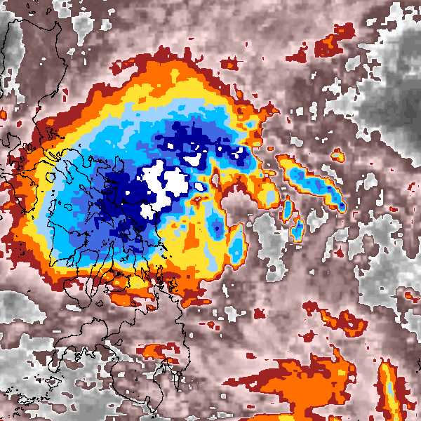
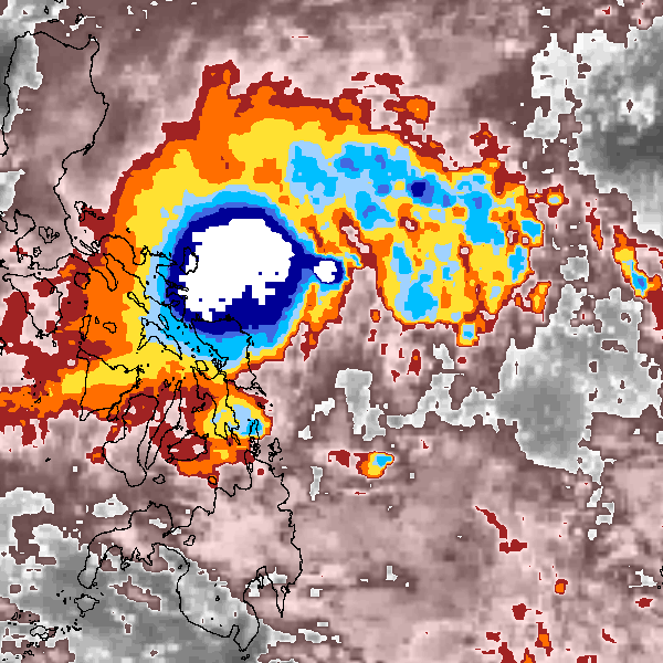
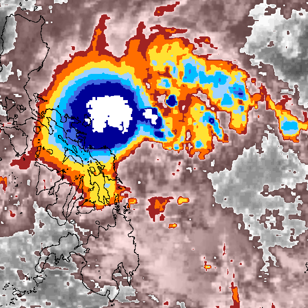
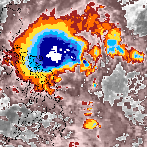
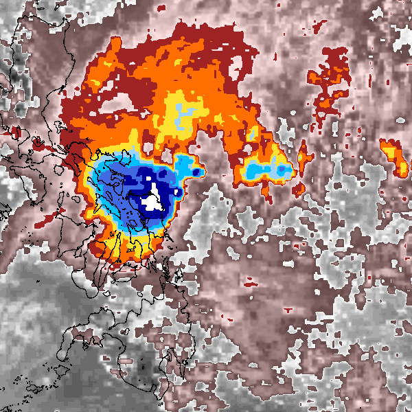
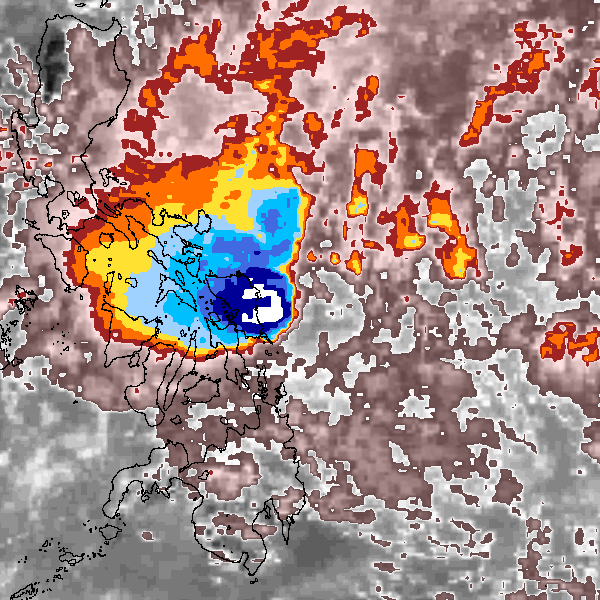
Storm track plot
|
Intensity plots
|
Radial wind information
No radial wind information for this storm
|
Position and Intensity Table
Source Information
| Agency |
Information |
| USA |
|
| TOKYO |
|
| CMA |
CH1989BST.txt:Storm=2:(nameless) |
| HKO |
|
| NEWDELHI |
|
| REUNION |
|
| BOM |
|
| NADI |
|
| WELLINGTON |
|
| DS824 |
|
| TD9636 |
|
| TD9635 |
|
| NEUMANN |
|
| MLC |
|
All available IBTrACS Data
| SEASON |
BASIN |
SUBBASIN |
ISO_TIME_________ |
NATURE |
LAT |
LON |
DIST2LAND |
LANDFALL |
IFLAG |
USA SSHS |
CMA LAT |
CMA LON |
CMA CAT |
CMA WIND |
CMA PRES |
STORM SPEED |
STORM DIR |
| Year |
|
|
|
|
degrees north |
degrees east |
km |
km |
|
1 |
degrees north |
degrees east |
1 |
kts |
mb |
kts |
degrees |
| 1989 |
WP |
MM |
1989-01-26 06:00:00 |
TS |
10.50 |
127.00 |
142 |
135 |
__O___________ |
-5 |
10.50 |
127.00 |
1 |
23 |
1004 |
7 |
16 |
| 1989 |
WP |
MM |
09:00:00 |
TS |
10.84 |
127.09 |
143 |
142 |
__P___________ |
-5 |
10.84 |
127.09 |
1 |
23 |
1004 |
6 |
18 |
| 1989 |
WP |
MM |
12:00:00 |
TS |
11.10 |
127.20 |
153 |
153 |
__O___________ |
-5 |
11.10 |
127.20 |
1 |
23 |
1004 |
5 |
29 |
| 1989 |
WP |
MM |
15:00:00 |
TS |
11.25 |
127.33 |
165 |
165 |
__P___________ |
-5 |
11.25 |
127.33 |
1 |
23 |
1003 |
4 |
44 |
| 1989 |
WP |
MM |
18:00:00 |
TS |
11.40 |
127.50 |
190 |
190 |
__O___________ |
-5 |
11.40 |
127.50 |
1 |
23 |
1002 |
6 |
43 |
| 1989 |
WP |
MM |
21:00:00 |
TS |
11.72 |
127.77 |
231 |
231 |
__P___________ |
-5 |
11.72 |
127.77 |
1 |
26 |
1002 |
8 |
39 |
| 1989 |
WP |
MM |
1989-01-27 00:00:00 |
TS |
12.00 |
128.00 |
264 |
264 |
__O___________ |
-5 |
12.00 |
128.00 |
1 |
29 |
1002 |
4 |
46 |
| 1989 |
WP |
MM |
03:00:00 |
TS |
12.02 |
128.09 |
274 |
264 |
__P___________ |
-5 |
12.02 |
128.09 |
1 |
29 |
1002 |
0 |
0 |
| 1989 |
WP |
MM |
06:00:00 |
TS |
12.00 |
128.00 |
264 |
239 |
__O___________ |
-5 |
12.00 |
128.00 |
1 |
29 |
1002 |
4 |
287 |
| 1989 |
WP |
MM |
09:00:00 |
TS |
12.15 |
127.65 |
239 |
196 |
__P___________ |
-5 |
12.15 |
127.65 |
1 |
29 |
1002 |
7 |
294 |
| 1989 |
WP |
MM |
12:00:00 |
TS |
12.30 |
127.30 |
196 |
185 |
__O___________ |
-5 |
12.30 |
127.30 |
1 |
29 |
1002 |
4 |
294 |
| 1989 |
WP |
MM |
15:00:00 |
TS |
12.32 |
127.25 |
185 |
185 |
__P___________ |
-5 |
12.32 |
127.25 |
1 |
29 |
1002 |
0 |
0 |
| 1989 |
WP |
MM |
18:00:00 |
TS |
12.30 |
127.30 |
196 |
196 |
__O___________ |
-5 |
12.30 |
127.30 |
1 |
29 |
1002 |
1 |
90 |
| 1989 |
WP |
MM |
21:00:00 |
TS |
12.32 |
127.36 |
206 |
196 |
__P___________ |
-5 |
12.32 |
127.36 |
1 |
29 |
1002 |
0 |
0 |
| 1989 |
WP |
MM |
1989-01-28 00:00:00 |
TS |
12.30 |
127.30 |
196 |
163 |
__O___________ |
-5 |
12.30 |
127.30 |
1 |
29 |
1002 |
4 |
249 |
| 1989 |
WP |
MM |
03:00:00 |
TS |
12.18 |
126.98 |
163 |
111 |
__P___________ |
-5 |
12.18 |
126.98 |
1 |
26 |
1003 |
8 |
249 |
| 1989 |
WP |
MM |
06:00:00 |
TS |
12.00 |
126.50 |
111 |
|
__O___________ |
-5 |
12.00 |
126.50 |
1 |
23 |
1004 |
10 |
249 |