1985
NOT_NAMED (1985004N04131)
IBTrACS version v04r00. Visit
IBTrACS website for data access.
Please direct all questions to the
IBTrACS Q and A forum
Storm track
-
Intensity
-
Wind Radii
-
Intensity Data
-
Source Data
-
All data
Summary Information
|
|
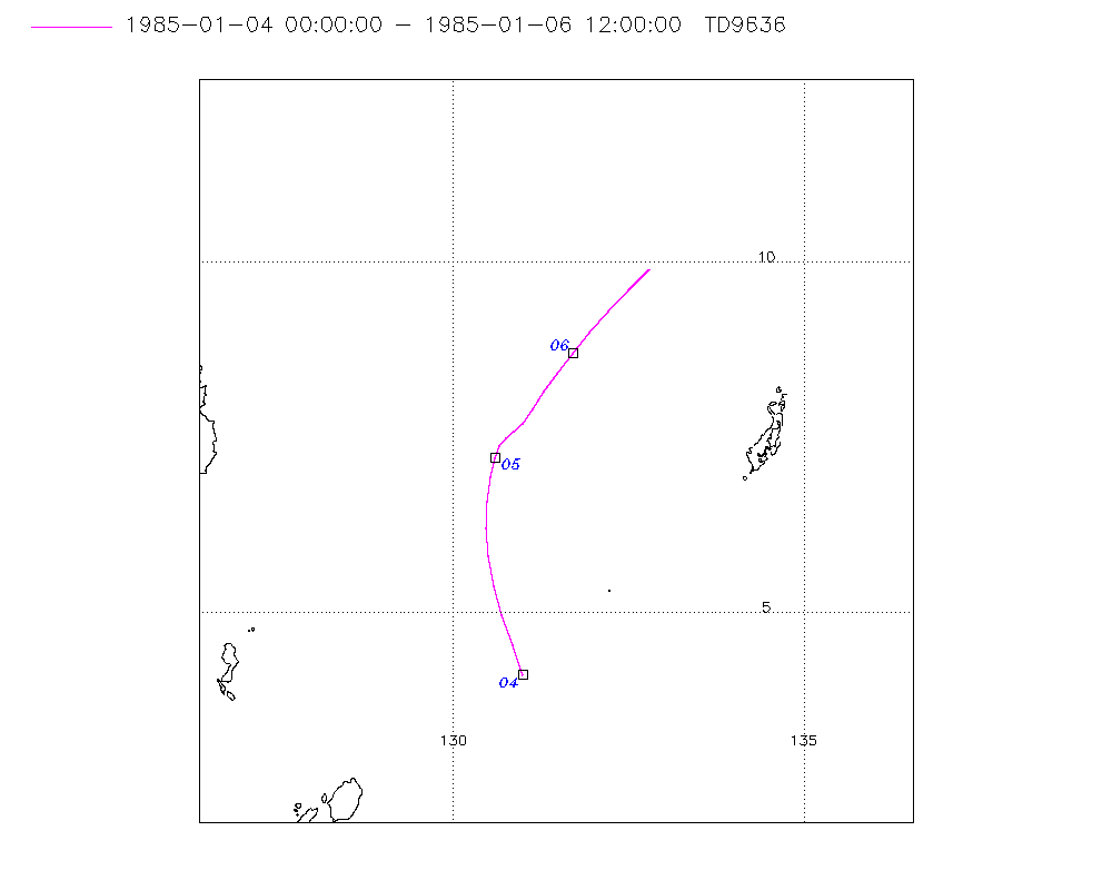
| Storm ID |
1985004N04131 |
| Start |
Jan 4 00Z |
| End |
Jan 6 21Z |
| ATCF IDs |
|
| Track status |
Best track data. |
|
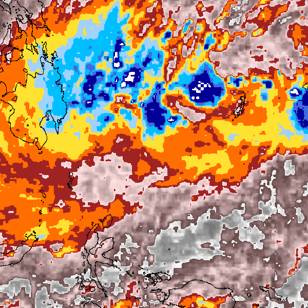
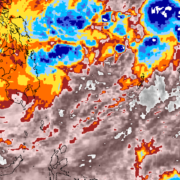
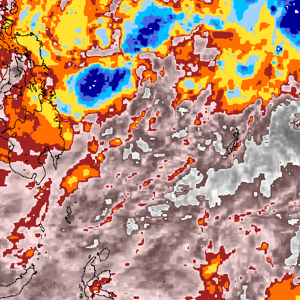
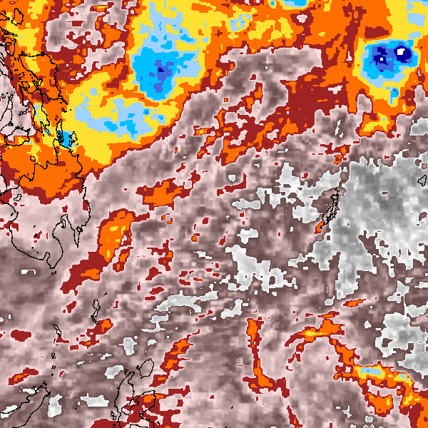
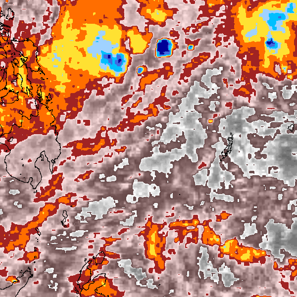
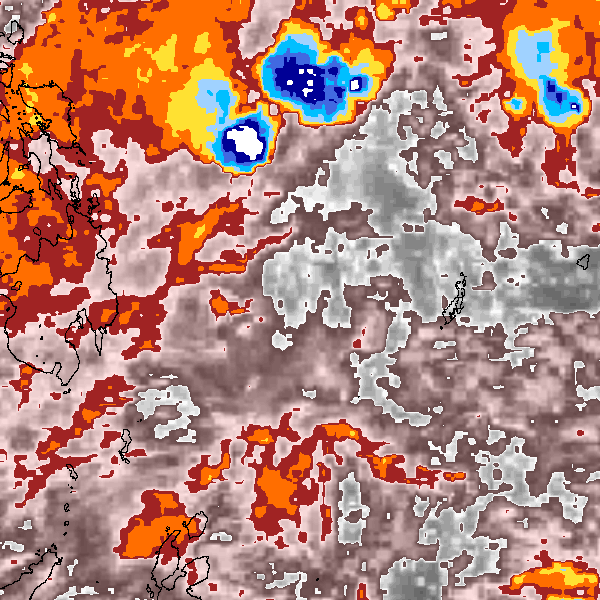
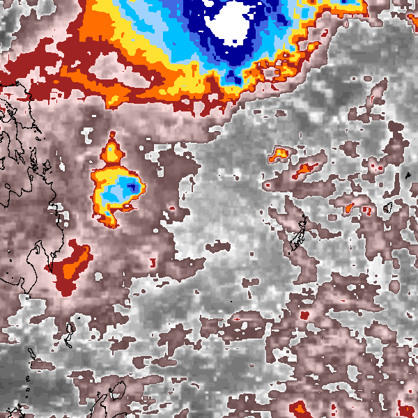
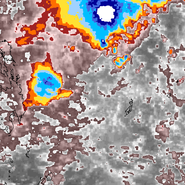
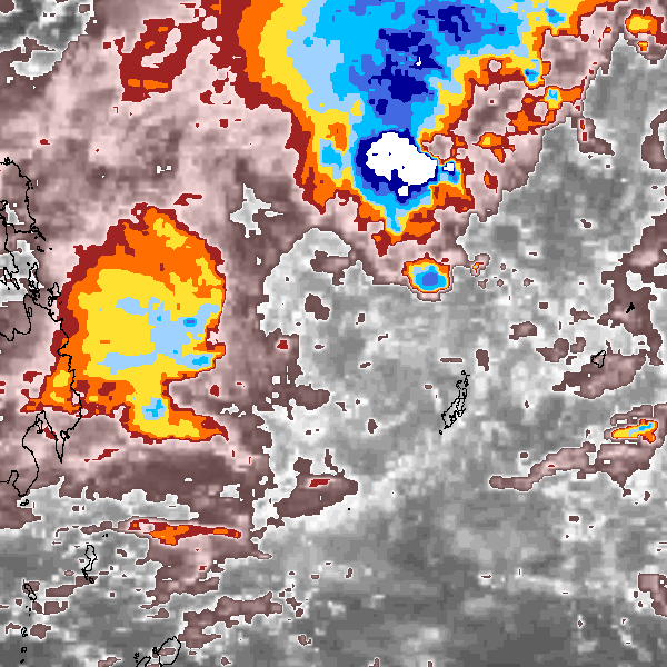
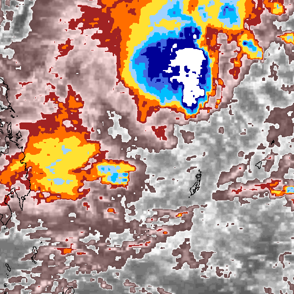
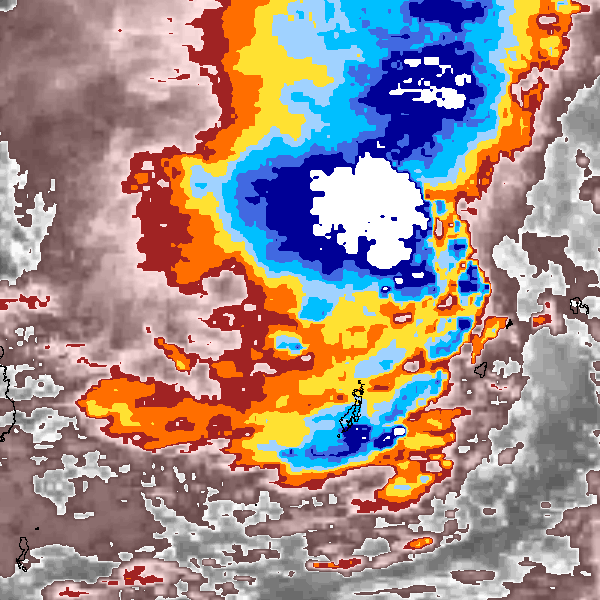
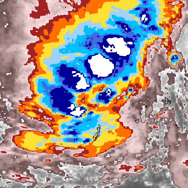
Storm track plot
|
Intensity plots
No Intensity information for this storm
|
Radial wind information
No radial wind information for this storm
|
Position and Intensity Table
Source Information
| Agency |
Information |
| USA |
|
| TOKYO |
|
| CMA |
|
| HKO |
|
| NEWDELHI |
|
| REUNION |
|
| BOM |
|
| NADI |
|
| WELLINGTON |
|
| DS824 |
|
| TD9636 |
cons_worldwide_trop_cyclone_18710101-19891231-003:Line=29486 |
| TD9635 |
|
| NEUMANN |
|
| MLC |
|
All available IBTrACS Data
| SEASON |
BASIN |
SUBBASIN |
ISO_TIME_________ |
NATURE |
LAT |
LON |
DIST2LAND |
LANDFALL |
IFLAG |
USA SSHS |
TD9636 LAT |
TD9636 LON |
TD9636 STAGE |
STORM SPEED |
STORM DIR |
| Year |
|
|
|
|
degrees north |
degrees east |
km |
km |
|
1 |
degrees north |
degrees east |
|
kts |
degrees |
| 1985 |
WP |
MM |
1985-01-04 00:00:00 |
NR |
4.10 |
131.00 |
312 |
309 |
__________O___ |
-5 |
4.10 |
131.00 |
0 |
9 |
340 |
| 1985 |
WP |
MM |
03:00:00 |
NR |
4.53 |
130.84 |
323 |
323 |
__________P___ |
-5 |
4.53 |
130.84 |
0 |
9 |
341 |
| 1985 |
WP |
MM |
06:00:00 |
NR |
4.96 |
130.70 |
357 |
357 |
__________P___ |
-5 |
4.96 |
130.70 |
0 |
9 |
343 |
| 1985 |
WP |
MM |
09:00:00 |
NR |
5.38 |
130.58 |
387 |
387 |
__________P___ |
-5 |
5.38 |
130.58 |
0 |
9 |
347 |
| 1985 |
WP |
MM |
12:00:00 |
NR |
5.80 |
130.50 |
420 |
420 |
__________O___ |
-5 |
5.80 |
130.50 |
0 |
8 |
352 |
| 1985 |
WP |
MM |
15:00:00 |
NR |
6.21 |
130.47 |
448 |
437 |
__________P___ |
-5 |
6.21 |
130.47 |
0 |
8 |
358 |
| 1985 |
WP |
MM |
18:00:00 |
NR |
6.59 |
130.48 |
437 |
433 |
__________P___ |
-5 |
6.59 |
130.48 |
0 |
7 |
4 |
| 1985 |
WP |
MM |
21:00:00 |
NR |
6.93 |
130.53 |
433 |
432 |
__________P___ |
-5 |
6.93 |
130.53 |
0 |
6 |
11 |
| 1985 |
WP |
MM |
1985-01-05 00:00:00 |
NR |
7.20 |
130.60 |
441 |
441 |
__________O___ |
-5 |
7.20 |
130.60 |
0 |
5 |
17 |
| 1985 |
WP |
MM |
03:00:00 |
NR |
7.37 |
130.67 |
452 |
452 |
__________P___ |
-5 |
7.37 |
130.67 |
0 |
3 |
29 |
| 1985 |
WP |
MM |
06:00:00 |
NR |
7.48 |
130.76 |
463 |
463 |
__________P___ |
-5 |
7.48 |
130.76 |
0 |
3 |
44 |
| 1985 |
WP |
MM |
09:00:00 |
NR |
7.58 |
130.87 |
474 |
474 |
__________P___ |
-5 |
7.58 |
130.87 |
0 |
3 |
48 |
| 1985 |
WP |
MM |
12:00:00 |
NR |
7.70 |
131.00 |
485 |
485 |
__________O___ |
-5 |
7.70 |
131.00 |
0 |
4 |
39 |
| 1985 |
WP |
MM |
15:00:00 |
NR |
7.91 |
131.14 |
496 |
496 |
__________P___ |
-5 |
7.91 |
131.14 |
0 |
5 |
34 |
| 1985 |
WP |
MM |
18:00:00 |
NR |
8.15 |
131.30 |
520 |
520 |
__________P___ |
-5 |
8.15 |
131.30 |
0 |
6 |
34 |
| 1985 |
WP |
MM |
21:00:00 |
NR |
8.42 |
131.48 |
545 |
545 |
__________P___ |
-5 |
8.42 |
131.48 |
0 |
7 |
36 |
| 1985 |
WP |
MM |
1985-01-06 00:00:00 |
NR |
8.70 |
131.70 |
572 |
572 |
__________O___ |
-5 |
8.70 |
131.70 |
0 |
7 |
36 |
| 1985 |
WP |
MM |
03:00:00 |
NR |
9.00 |
131.91 |
601 |
601 |
__________P___ |
-5 |
8.99 |
131.95 |
0 |
8 |
37 |
| 1985 |
WP |
MM |
06:00:00 |
NR |
9.31 |
132.16 |
641 |
641 |
__________P___ |
-5 |
9.29 |
132.22 |
0 |
8 |
41 |
| 1985 |
WP |
MM |
09:00:00 |
NR |
9.61 |
132.45 |
683 |
683 |
__________P___ |
-5 |
9.60 |
132.50 |
0 |
9 |
47 |
| 1985 |
WP |
MM |
12:00:00 |
NR |
9.90 |
132.80 |
724 |
724 |
__________O___ |
-5 |
9.90 |
132.80 |
0 |
9 |
59 |
| 1985 |
WP |
MM |
15:00:00 |
NR |
10.09 |
133.26 |
782 |
782 |
______________ |
-5 |
|
|
0 |
10 |
69 |
| 1985 |
WP |
MM |
18:00:00 |
NR |
10.28 |
133.77 |
840 |
840 |
______________ |
-5 |
|
|
0 |
11 |
68 |
| 1985 |
WP |
MM |
21:00:00 |
NR |
10.49 |
134.27 |
898 |
|
______________ |
-5 |
|
|
0 |
11 |
66 |