2010
Tropical Depression NOT_NAMED (2010200N26127)
IBTrACS version v04r00. Visit
IBTrACS website for data access.
Please direct all questions to the
IBTrACS Q and A forum
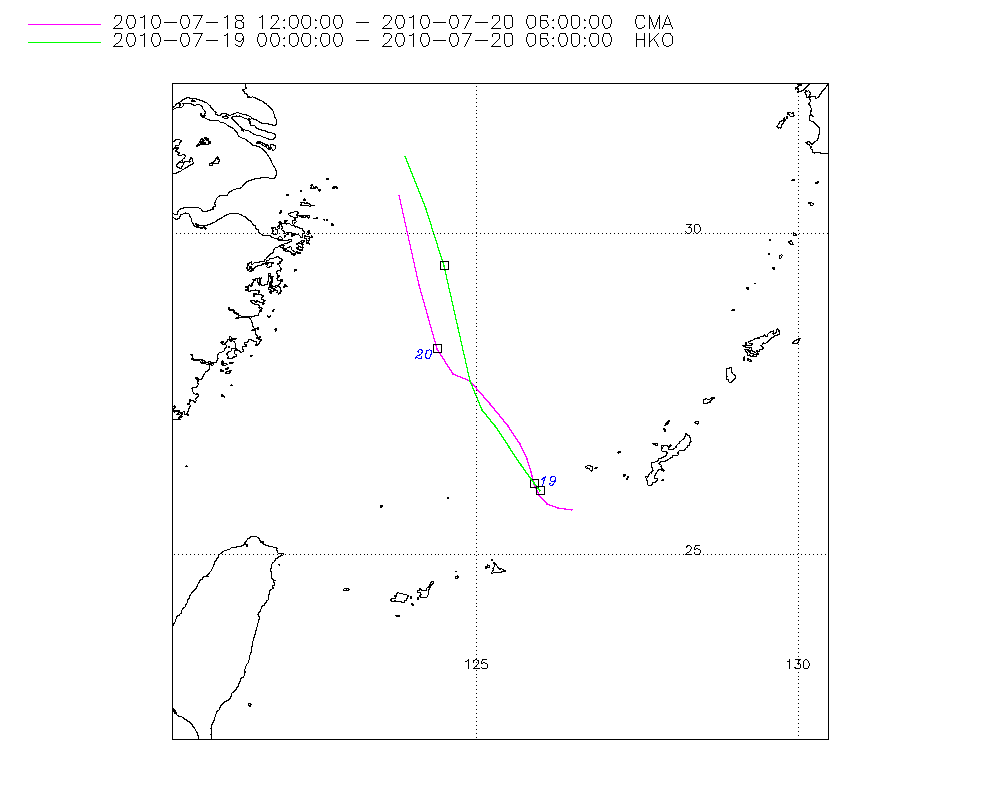
Storm track
-
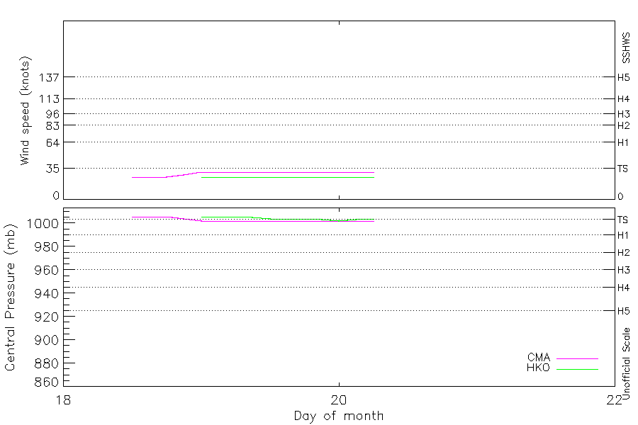
Intensity
-
Wind Radii
-
Intensity Data
-
Source Data
-
All data
Summary Information
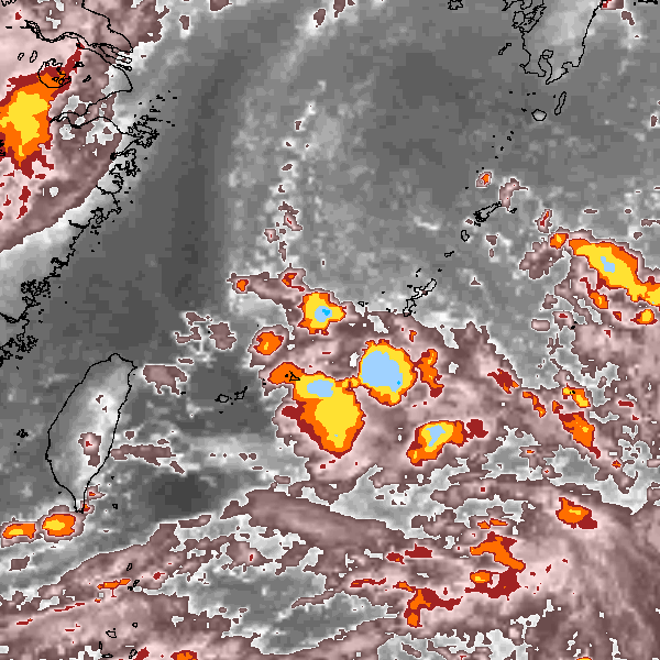
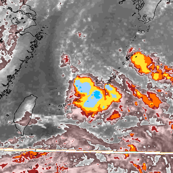
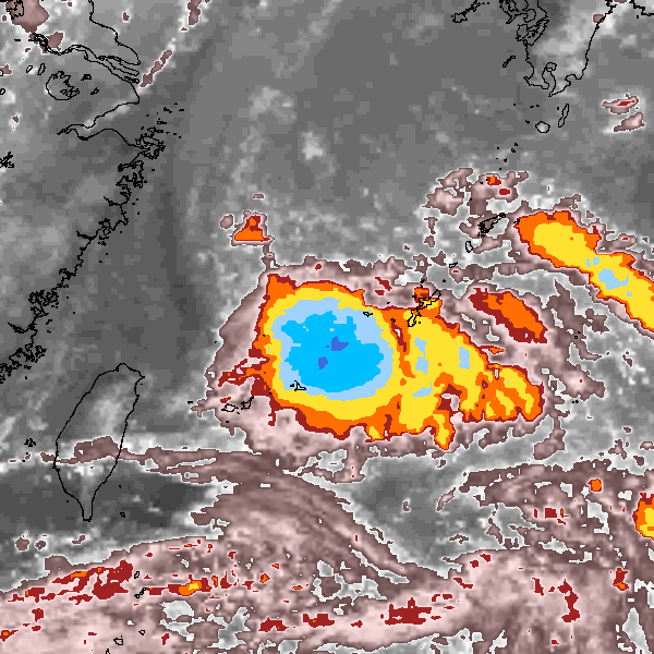
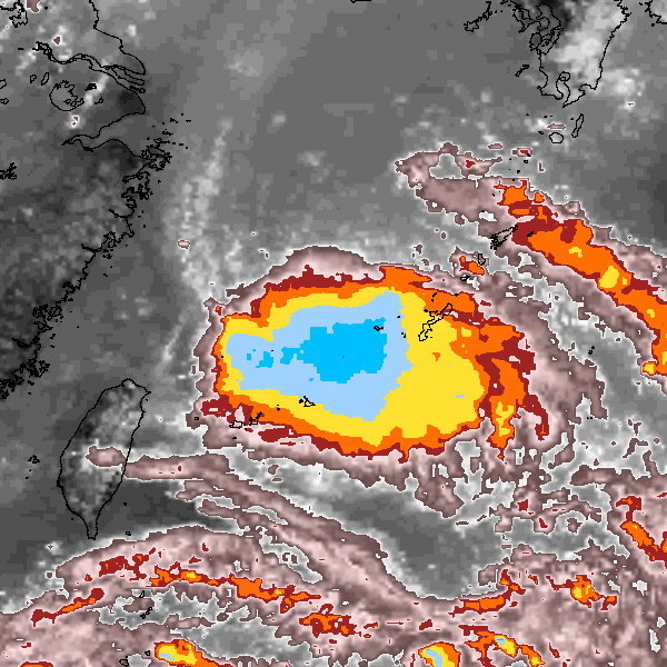
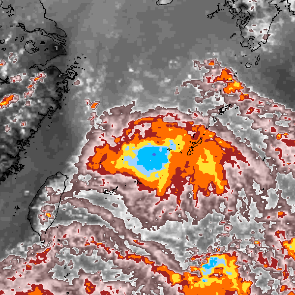
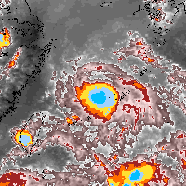
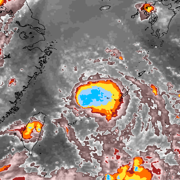
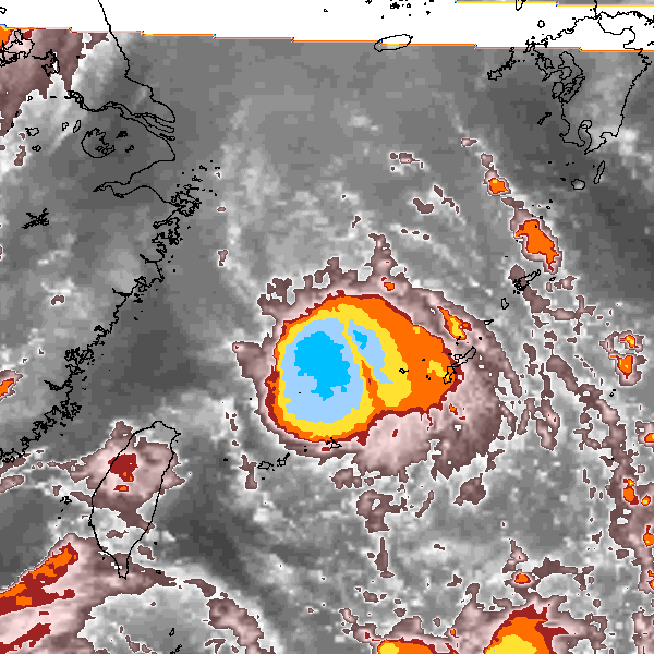
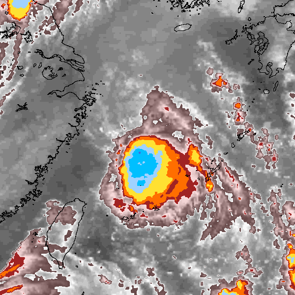
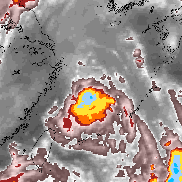
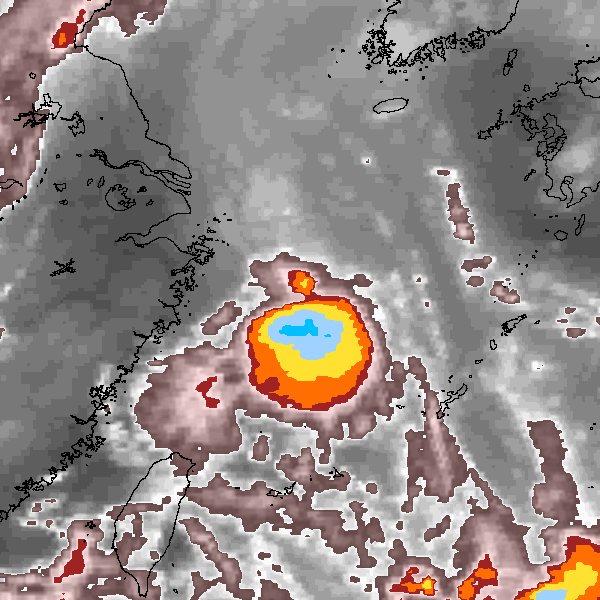
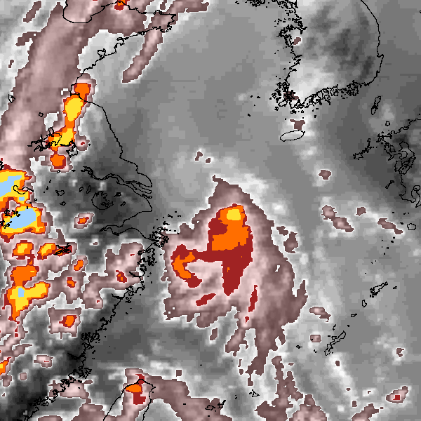
Storm track plot
|
Intensity plots
|
Radial wind information
No radial wind information for this storm
|
Position and Intensity Table
| BASIN |
ISO_TIME_________ |
NATURE |
LAT |
LON |
CMA WIND |
CMA PRES |
HKO WIND |
HKO PRES |
| |
|
|
degrees north |
degrees east |
kts |
mb |
kts |
mb |
| WP |
2010-07-18 12:00:00 |
TS |
25.70 |
126.50 |
25 |
1006 |
|
|
| WP |
15:00:00 |
TS |
25.73 |
126.28 |
25 |
1006 |
|
|
| WP |
18:00:00 |
TS |
25.80 |
126.10 |
25 |
1006 |
|
|
| WP |
21:00:00 |
TS |
25.93 |
125.98 |
28 |
1004 |
|
|
| WP |
2010-07-19 00:00:00 |
TS |
26.08 |
125.92 |
31 |
1002 |
25 |
1006 |
| WP |
03:00:00 |
TS |
26.25 |
125.86 |
31 |
1002 |
25 |
1006 |
| WP |
06:00:00 |
TS |
26.46 |
125.76 |
31 |
1002 |
25 |
1006 |
| WP |
09:00:00 |
TS |
26.70 |
125.60 |
31 |
1002 |
25 |
1005 |
| WP |
12:00:00 |
TS |
27.00 |
125.40 |
31 |
1002 |
25 |
1004 |
| WP |
15:00:00 |
TS |
27.31 |
125.16 |
31 |
1002 |
25 |
1004 |
| WP |
18:00:00 |
TS |
27.70 |
124.90 |
31 |
1002 |
25 |
1004 |
| WP |
21:00:00 |
TS |
28.17 |
124.68 |
31 |
1002 |
25 |
1003 |
| WP |
2010-07-20 00:00:00 |
TS |
28.85 |
124.45 |
31 |
1002 |
25 |
1002 |
| WP |
03:00:00 |
TS |
29.80 |
124.17 |
31 |
1002 |
25 |
1003 |
| WP |
06:00:00 |
TS |
30.90 |
123.85 |
31 |
1002 |
25 |
1004 |
Source Information
| Agency |
Information |
| USA |
|
| TOKYO |
|
| CMA |
CH2010BST.txt:Storm=4:(nameless) |
| HKO |
tc-besttrack-data-current.txt:Line=34210:TD0719 |
| NEWDELHI |
|
| REUNION |
|
| BOM |
|
| NADI |
|
| WELLINGTON |
|
| DS824 |
|
| TD9636 |
|
| TD9635 |
|
| NEUMANN |
|
| MLC |
|
All available IBTrACS Data
| SEASON |
BASIN |
SUBBASIN |
ISO_TIME_________ |
NATURE |
LAT |
LON |
DIST2LAND |
LANDFALL |
IFLAG |
USA SSHS |
CMA LAT |
CMA LON |
CMA CAT |
CMA WIND |
CMA PRES |
HKO LAT |
HKO LON |
HKO CAT |
HKO WIND |
HKO PRES |
STORM SPEED |
STORM DIR |
| Year |
|
|
|
|
degrees north |
degrees east |
km |
km |
|
1 |
degrees north |
degrees east |
1 |
kts |
mb |
degrees north |
degrees east |
|
kts |
mb |
kts |
degrees |
| 2010 |
WP |
MM |
2010-07-18 12:00:00 |
TS |
25.70 |
126.50 |
458 |
438 |
__O___________ |
-5 |
25.70 |
126.50 |
1 |
25 |
1006 |
|
|
|
|
|
4 |
279 |
| 2010 |
WP |
MM |
15:00:00 |
TS |
25.73 |
126.28 |
438 |
421 |
__P___________ |
-5 |
25.73 |
126.28 |
1 |
25 |
1006 |
|
|
|
|
|
4 |
286 |
| 2010 |
WP |
MM |
18:00:00 |
TS |
25.80 |
126.10 |
421 |
411 |
__O___________ |
-5 |
25.80 |
126.10 |
1 |
25 |
1006 |
|
|
|
|
|
3 |
305 |
| 2010 |
WP |
MM |
21:00:00 |
TS |
25.93 |
125.98 |
413 |
406 |
__P___________ |
-5 |
25.93 |
125.98 |
1 |
28 |
1004 |
|
|
|
|
|
3 |
330 |
| 2010 |
WP |
MM |
2010-07-19 00:00:00 |
TS |
26.08 |
125.92 |
409 |
409 |
__OO__________ |
-5 |
26.10 |
125.90 |
1 |
31 |
1002 |
26.00 |
126.00 |
TD |
25 |
1006 |
3 |
342 |
| 2010 |
WP |
MM |
03:00:00 |
TS |
26.25 |
125.86 |
416 |
407 |
__PP__________ |
-5 |
26.28 |
125.86 |
1 |
31 |
1002 |
26.18 |
125.86 |
TD |
25 |
1006 |
4 |
338 |
| 2010 |
WP |
MM |
06:00:00 |
TS |
26.46 |
125.76 |
415 |
402 |
__OO__________ |
-5 |
26.50 |
125.80 |
1 |
31 |
1002 |
26.40 |
125.70 |
TD |
25 |
1006 |
5 |
333 |
| 2010 |
WP |
MM |
09:00:00 |
TS |
26.70 |
125.60 |
406 |
400 |
__PP__________ |
-5 |
26.73 |
125.69 |
1 |
31 |
1002 |
26.68 |
125.51 |
TD |
25 |
1005 |
6 |
330 |
| 2010 |
WP |
MM |
12:00:00 |
TS |
27.00 |
125.40 |
401 |
370 |
__OO__________ |
-5 |
27.00 |
125.50 |
1 |
31 |
1002 |
27.00 |
125.30 |
TD |
25 |
1004 |
7 |
327 |
| 2010 |
WP |
MM |
15:00:00 |
TS |
27.31 |
125.16 |
370 |
328 |
__PP__________ |
-5 |
27.35 |
125.22 |
1 |
31 |
1002 |
27.26 |
125.10 |
TD |
25 |
1004 |
8 |
328 |
| 2010 |
WP |
MM |
18:00:00 |
TS |
27.70 |
124.90 |
328 |
290 |
__OO__________ |
-5 |
27.70 |
124.90 |
1 |
31 |
1002 |
27.70 |
124.90 |
TD |
25 |
1004 |
10 |
334 |
| 2010 |
WP |
MM |
21:00:00 |
TS |
28.17 |
124.68 |
285 |
246 |
__PP__________ |
-5 |
27.82 |
124.65 |
1 |
31 |
1002 |
28.52 |
124.71 |
TD |
25 |
1003 |
12 |
341 |
| 2010 |
WP |
MM |
2010-07-20 00:00:00 |
TS |
28.85 |
124.45 |
245 |
217 |
__OO__________ |
-5 |
28.20 |
124.40 |
1 |
31 |
1002 |
29.50 |
124.50 |
TD |
25 |
1002 |
17 |
345 |
| 2010 |
WP |
MM |
03:00:00 |
TS |
29.80 |
124.17 |
221 |
190 |
__PP__________ |
-5 |
29.21 |
124.12 |
1 |
31 |
1002 |
30.39 |
124.22 |
TD |
25 |
1003 |
21 |
346 |
| 2010 |
WP |
MM |
06:00:00 |
TS |
30.90 |
123.85 |
190 |
|
__OO__________ |
-5 |
30.60 |
123.80 |
1 |
31 |
1002 |
31.20 |
123.90 |
TD |
25 |
1004 |
23 |
346 |