2001
Tropical Cyclone (Gale) VICKY (2001357S14203)
IBTrACS version v04r00. Visit
IBTrACS website for data access.
Please direct all questions to the
IBTrACS Q and A forum
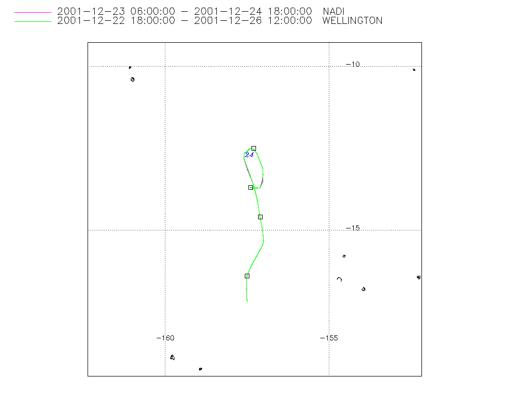
Storm track
-
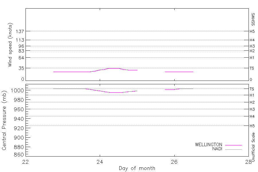
Intensity
-
Wind Radii
-
Intensity Data
-
Source Data
-
All data
Summary Information
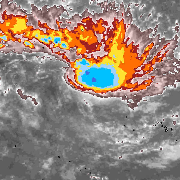
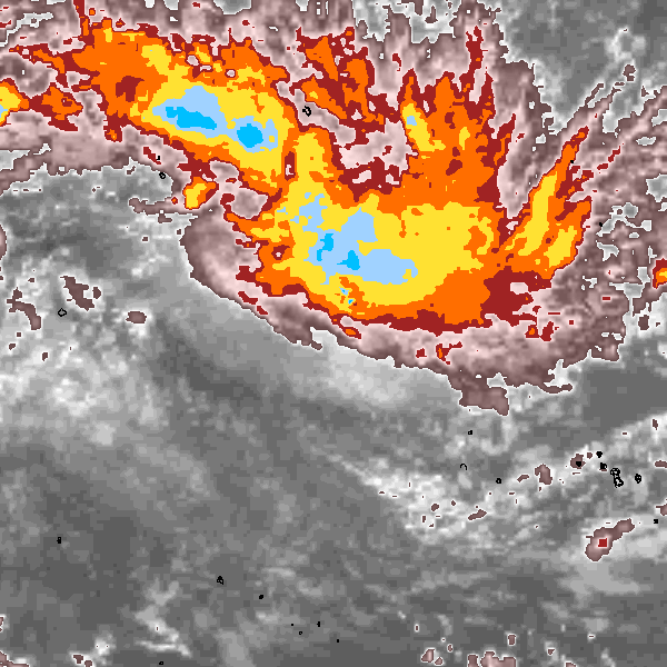
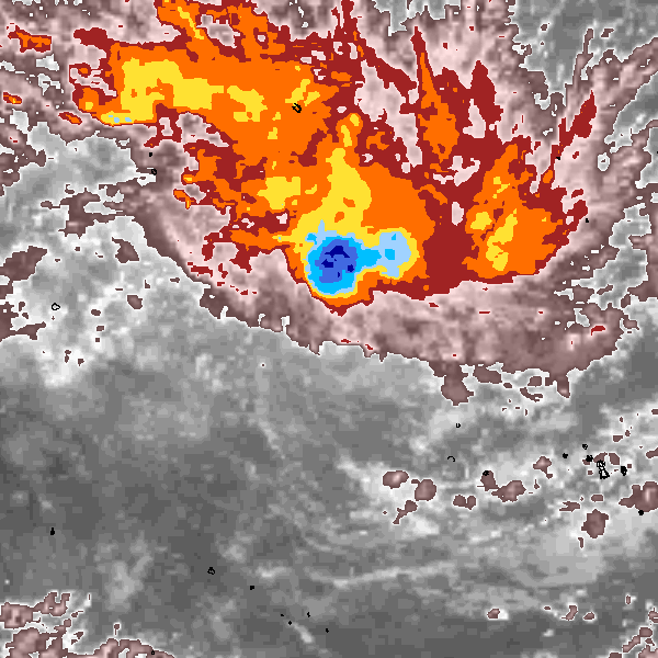
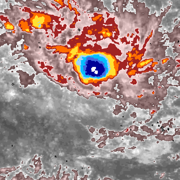
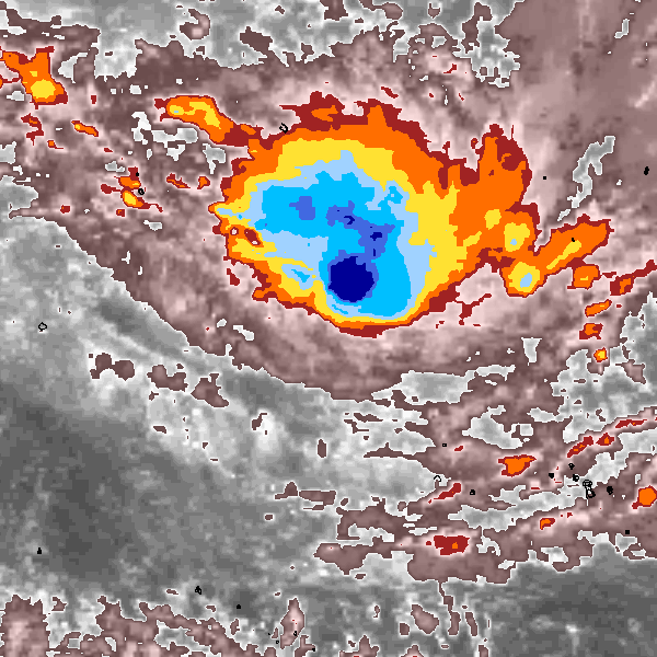
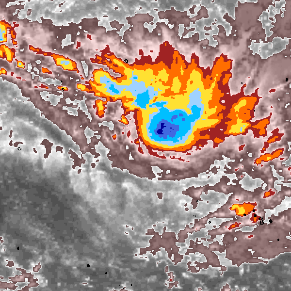
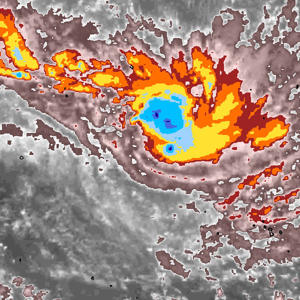
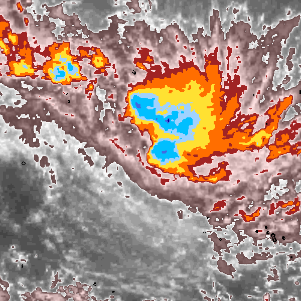
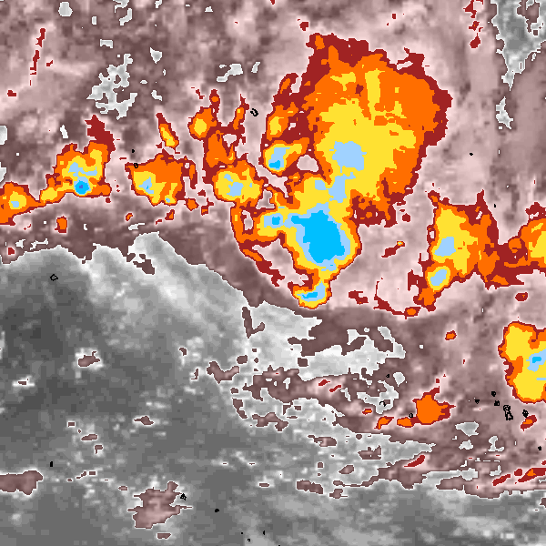
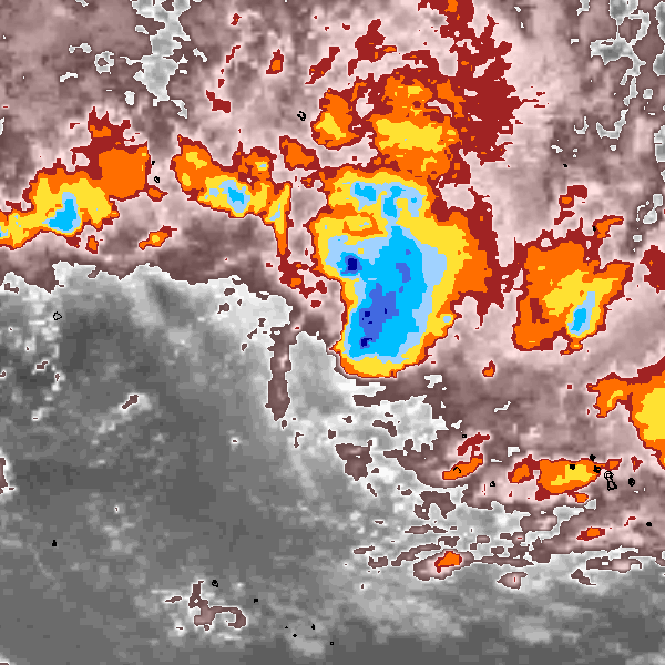
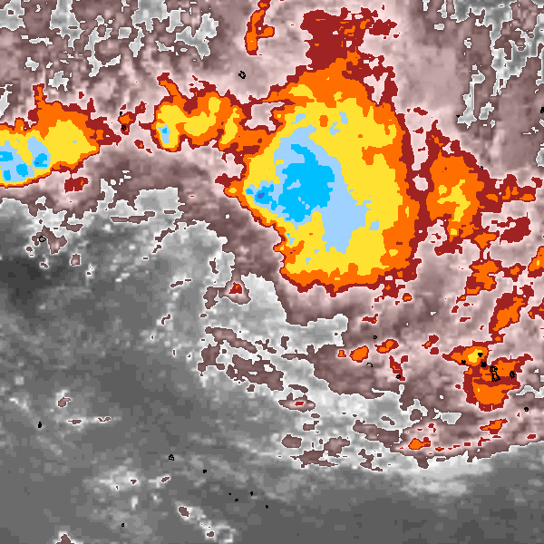
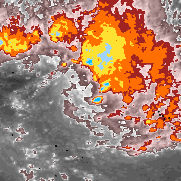
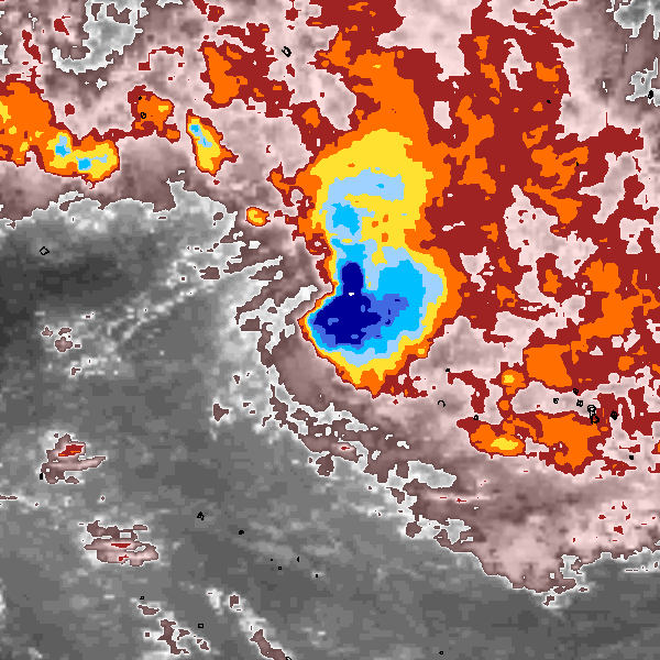
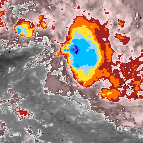
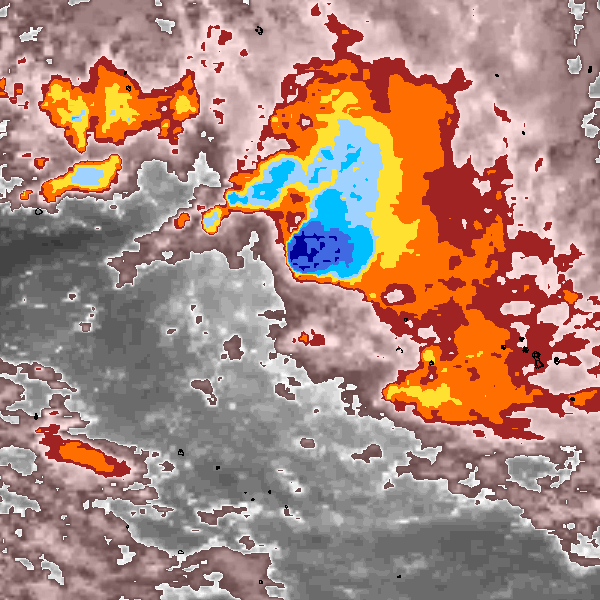
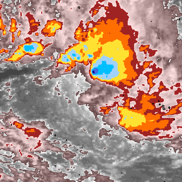
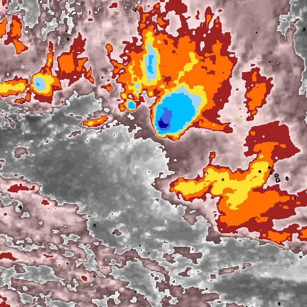
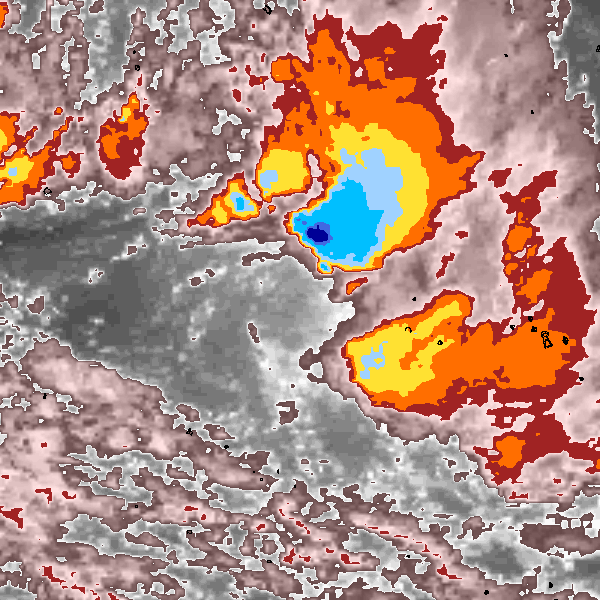
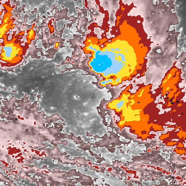
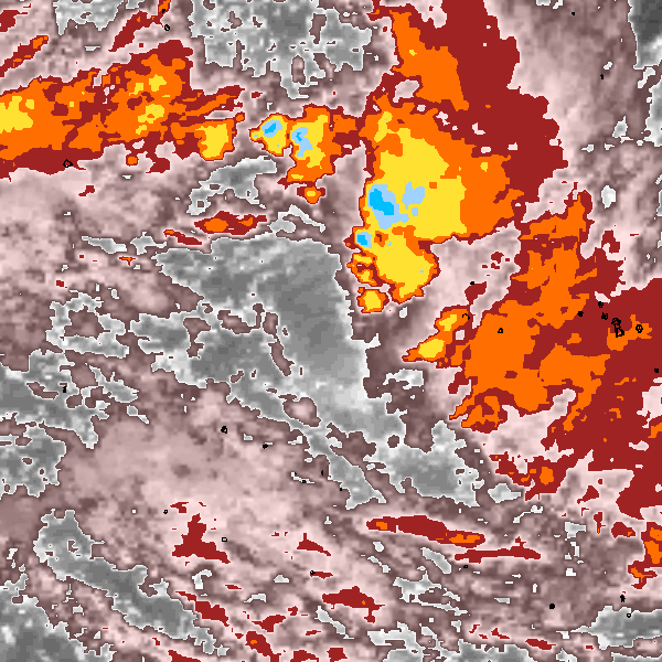
Storm track plot
|
Intensity plots
|
Radial wind information
No radial wind information for this storm
|
Position and Intensity Table
Source Information
| Agency |
Information |
| USA |
|
| TOKYO |
|
| CMA |
|
| HKO |
|
| NEWDELHI |
|
| REUNION |
|
| BOM |
|
| NADI |
RSMC-Nadi-2001-02-BT-Data.txt:Line=26:VICKY |
| WELLINGTON |
TC_BT_1967_2006.csv:Line=6991:VICKY |
| DS824 |
|
| TD9636 |
|
| TD9635 |
|
| NEUMANN |
|
| MLC |
|
All available IBTrACS Data
| SEASON |
BASIN |
SUBBASIN |
ISO_TIME_________ |
NATURE |
LAT |
LON |
WMO PRES |
WMO AGENCY |
DIST2LAND |
LANDFALL |
IFLAG |
USA SSHS |
NADI LAT |
NADI LON |
NADI PRES |
WELLINGTON LAT |
WELLINGTON LON |
WELLINGTON WIND |
WELLINGTON PRES |
STORM SPEED |
STORM DIR |
| Year |
|
|
|
|
degrees north |
degrees east |
mb |
|
km |
km |
|
1 |
degrees north |
degrees east |
mb |
degrees north |
degrees east |
kts |
mb |
kts |
degrees |
| 2002 |
SP |
MM |
2001-12-22 18:00:00 |
NR |
-13.70 |
-157.20 |
|
|
1620 |
1609 |
________O_____ |
-5 |
|
|
|
-13.70 |
-157.20 |
25 |
1004 |
3 |
274 |
| 2002 |
SP |
MM |
21:00:00 |
NR |
-13.69 |
-157.35 |
|
|
1599 |
1599 |
________P_____ |
-5 |
|
|
|
-13.69 |
-157.35 |
25 |
1004 |
2 |
270 |
| 2002 |
SP |
MM |
2001-12-23 00:00:00 |
NR |
-13.70 |
-157.40 |
|
|
1599 |
1599 |
________O_____ |
-5 |
|
|
|
-13.70 |
-157.40 |
25 |
1004 |
1 |
117 |
| 2002 |
SP |
MM |
03:00:00 |
NR |
-13.73 |
-157.27 |
|
|
1609 |
1609 |
________P_____ |
-5 |
|
|
|
-13.73 |
-157.27 |
25 |
1004 |
3 |
90 |
| 2002 |
SP |
MM |
06:00:00 |
NR |
-13.70 |
-157.10 |
1004 |
nadi |
1631 |
1631 |
________O_____ |
-5 |
-13.70 |
-157.10 |
1004 |
-13.70 |
-157.10 |
25 |
1004 |
3 |
49 |
| 2002 |
SP |
MM |
09:00:00 |
NR |
-13.52 |
-157.02 |
|
|
1643 |
1643 |
_______IP_____ |
-5 |
-13.50 |
-157.03 |
1004 |
-13.53 |
-157.02 |
25 |
1004 |
4 |
13 |
| 2002 |
SP |
MM |
12:00:00 |
NR |
-13.30 |
-157.00 |
1004 |
nadi |
1644 |
1644 |
________O_____ |
-5 |
-13.30 |
-157.00 |
1004 |
-13.30 |
-157.00 |
25 |
1004 |
4 |
357 |
| 2002 |
SP |
MM |
15:00:00 |
NR |
-13.10 |
-157.03 |
|
|
1646 |
1636 |
_______IP_____ |
-5 |
-13.10 |
-157.03 |
1003 |
-13.10 |
-157.03 |
25 |
1003 |
4 |
347 |
| 2002 |
SP |
MM |
18:00:00 |
NR |
-12.90 |
-157.10 |
1002 |
nadi |
1637 |
1627 |
________O_____ |
-5 |
-12.90 |
-157.10 |
1002 |
-12.90 |
-157.10 |
25 |
1002 |
5 |
340 |
| 2002 |
SP |
MM |
21:00:00 |
NR |
-12.66 |
-157.19 |
|
|
1628 |
1618 |
_______IP_____ |
-5 |
-12.66 |
-157.19 |
1000 |
-12.66 |
-157.19 |
27 |
1000 |
4 |
334 |
| 2002 |
SP |
MM |
2001-12-24 00:00:00 |
NR |
-12.50 |
-157.30 |
999 |
nadi |
1619 |
1609 |
________O_____ |
-5 |
-12.50 |
-157.30 |
999 |
-12.50 |
-157.30 |
30 |
999 |
3 |
307 |
| 2002 |
SP |
MM |
03:00:00 |
NR |
-12.51 |
-157.41 |
|
|
1609 |
1597 |
_______IP_____ |
-5 |
-12.51 |
-157.41 |
997 |
-12.51 |
-157.41 |
32 |
997 |
2 |
243 |
| 2002 |
SP |
MM |
06:00:00 |
NR |
-12.60 |
-157.50 |
996 |
nadi |
1597 |
1586 |
________O_____ |
-5 |
-12.60 |
-157.50 |
996 |
-12.60 |
-157.50 |
35 |
996 |
2 |
231 |
| 2002 |
SP |
MM |
09:00:00 |
NR |
-12.65 |
-157.59 |
|
|
1586 |
1584 |
_______IP_____ |
-5 |
-12.65 |
-157.59 |
996 |
-12.65 |
-157.59 |
35 |
996 |
2 |
207 |
| 2002 |
SP |
MM |
12:00:00 |
NR |
-12.80 |
-157.60 |
996 |
nadi |
1584 |
1583 |
________O_____ |
-5 |
-12.80 |
-157.60 |
996 |
-12.80 |
-157.60 |
35 |
996 |
5 |
168 |
| 2002 |
SP |
MM |
15:00:00 |
NR |
-13.14 |
-157.48 |
|
|
1592 |
1591 |
_______IP_____ |
-5 |
-13.14 |
-157.49 |
996 |
-13.14 |
-157.47 |
32 |
996 |
9 |
160 |
| 2002 |
SP |
MM |
18:00:00 |
NR |
-13.60 |
-157.30 |
997 |
nadi |
1610 |
1609 |
________O_____ |
-5 |
-13.60 |
-157.30 |
997 |
-13.60 |
-157.30 |
30 |
997 |
10 |
163 |
| 2002 |
SP |
MM |
21:00:00 |
NR |
-14.10 |
-157.18 |
|
|
1619 |
1619 |
________P_____ |
-5 |
|
|
|
-14.10 |
-157.18 |
30 |
998 |
10 |
169 |
| 2002 |
SP |
MM |
2001-12-25 00:00:00 |
NR |
-14.60 |
-157.10 |
|
|
1630 |
1630 |
________O_____ |
-5 |
|
|
|
-14.60 |
-157.10 |
30 |
999 |
8 |
170 |
| 2002 |
SP |
MM |
03:00:00 |
NR |
-14.93 |
-157.03 |
|
|
1642 |
1642 |
________P_____ |
-5 |
|
|
|
-14.93 |
-157.03 |
|
|
6 |
170 |
| 2002 |
SP |
MM |
06:00:00 |
NR |
-15.16 |
-157.00 |
|
|
1644 |
1644 |
________P_____ |
-5 |
|
|
|
-15.16 |
-157.00 |
|
|
4 |
174 |
| 2002 |
SP |
MM |
09:00:00 |
NR |
-15.32 |
-157.00 |
|
|
1644 |
1644 |
________P_____ |
-5 |
|
|
|
-15.32 |
-157.00 |
|
|
3 |
188 |
| 2002 |
SP |
MM |
12:00:00 |
NR |
-15.46 |
-157.03 |
|
|
1646 |
1635 |
________P_____ |
-5 |
|
|
|
-15.46 |
-157.03 |
|
|
3 |
200 |
| 2002 |
SP |
MM |
15:00:00 |
NR |
-15.60 |
-157.10 |
|
|
1636 |
1627 |
________P_____ |
-5 |
|
|
|
-15.60 |
-157.10 |
|
|
4 |
205 |
| 2002 |
SP |
MM |
18:00:00 |
NR |
-15.80 |
-157.20 |
|
|
1628 |
1610 |
________O_____ |
-5 |
|
|
|
-15.80 |
-157.20 |
25 |
1002 |
6 |
208 |
| 2002 |
SP |
MM |
21:00:00 |
NR |
-16.08 |
-157.37 |
|
|
1610 |
1603 |
________P_____ |
-5 |
|
|
|
-16.08 |
-157.37 |
25 |
1002 |
7 |
206 |
| 2002 |
SP |
MM |
2001-12-26 00:00:00 |
NR |
-16.40 |
-157.50 |
|
|
1604 |
1604 |
________O_____ |
-5 |
|
|
|
-16.40 |
-157.50 |
25 |
1002 |
7 |
192 |
| 2002 |
SP |
MM |
03:00:00 |
NR |
-16.79 |
-157.52 |
|
|
1612 |
1612 |
________P_____ |
-5 |
|
|
|
-16.79 |
-157.52 |
25 |
1003 |
7 |
0 |
| 2002 |
SP |
MM |
06:00:00 |
NR |
-17.10 |
-157.50 |
|
|
1618 |
1618 |
________O_____ |
-5 |
|
|
|
-17.10 |
-157.50 |
25 |
1004 |
4 |
174 |
| 2002 |
SP |
MM |
09:00:00 |
NR |
-17.17 |
-157.49 |
|
|
1620 |
1618 |
________P_____ |
-5 |
|
|
|
-17.17 |
-157.49 |
25 |
1004 |
0 |
0 |
| 2002 |
SP |
MM |
12:00:00 |
NR |
-17.10 |
-157.50 |
|
|
1618 |
|
________O_____ |
-5 |
|
|
|
-17.10 |
-157.50 |
25 |
1004 |
1 |
0 |