1994
Tropical Depression NOT_NAMED (1994006S18182)
IBTrACS version v04r00. Visit
IBTrACS website for data access.
Please direct all questions to the
IBTrACS Q and A forum
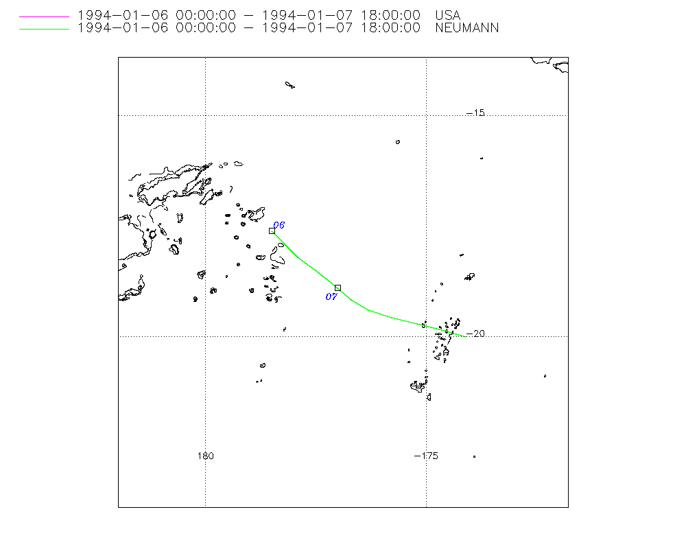
Storm track
-
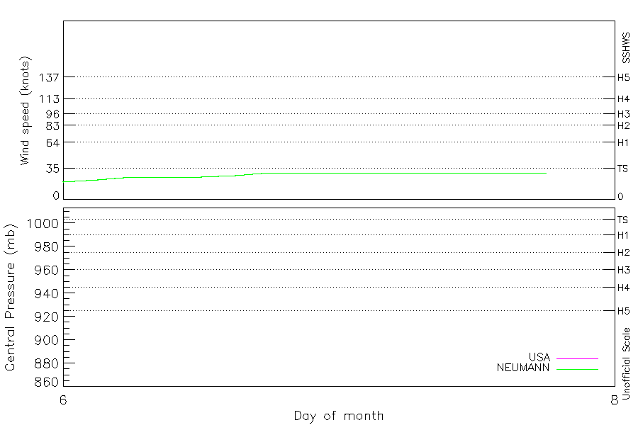
Intensity
-
Wind Radii
-
Intensity Data
-
Source Data
-
All data
Summary Information
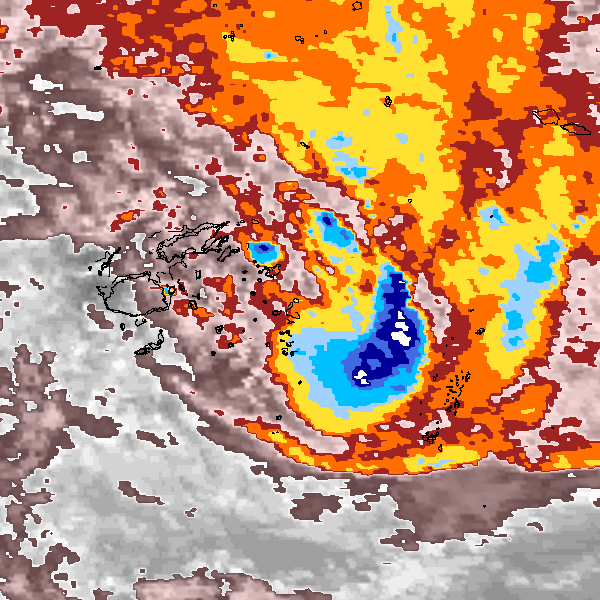
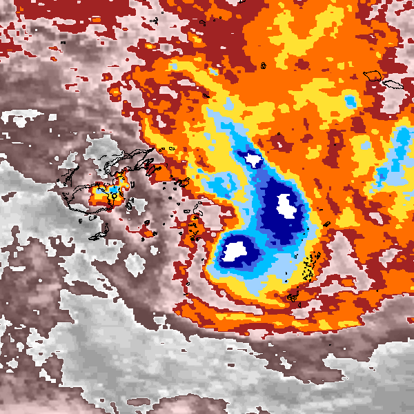
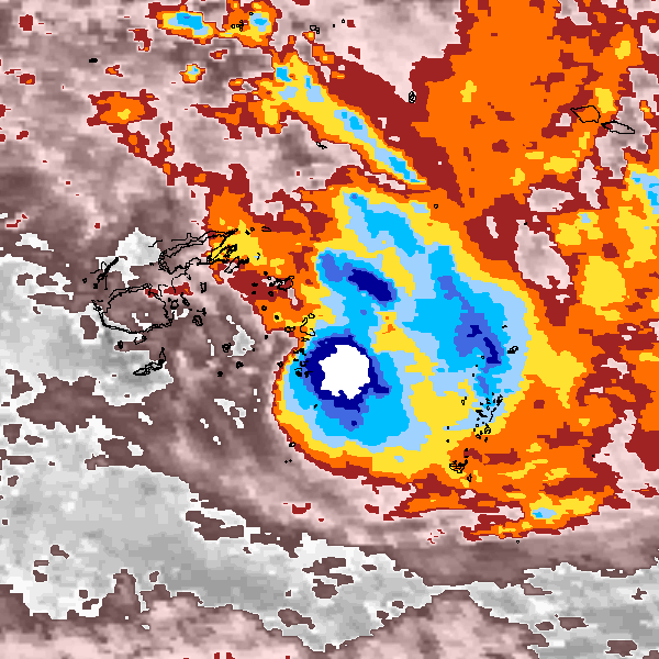
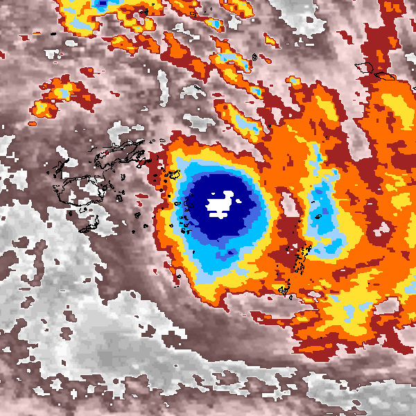
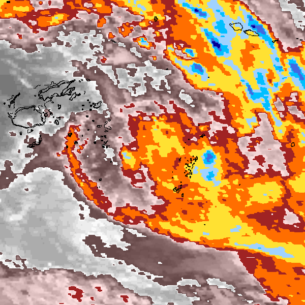
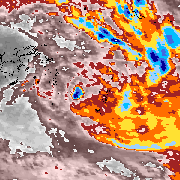
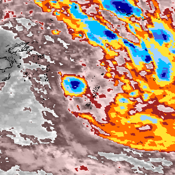
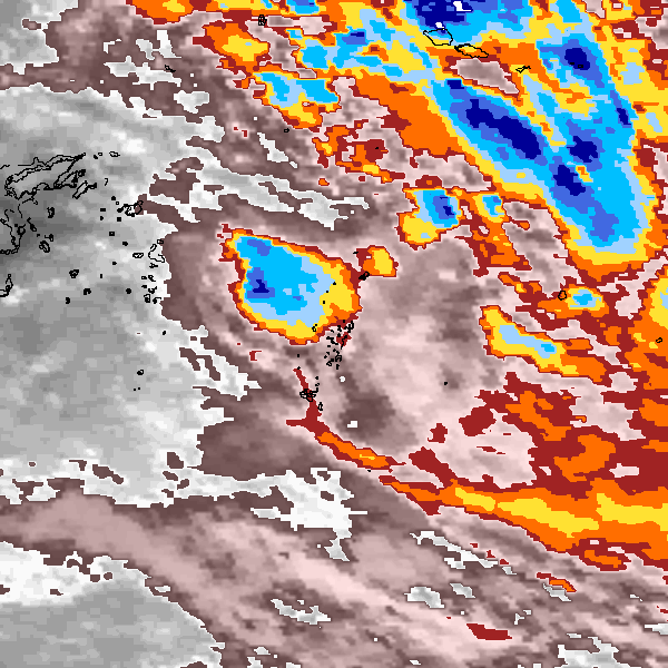
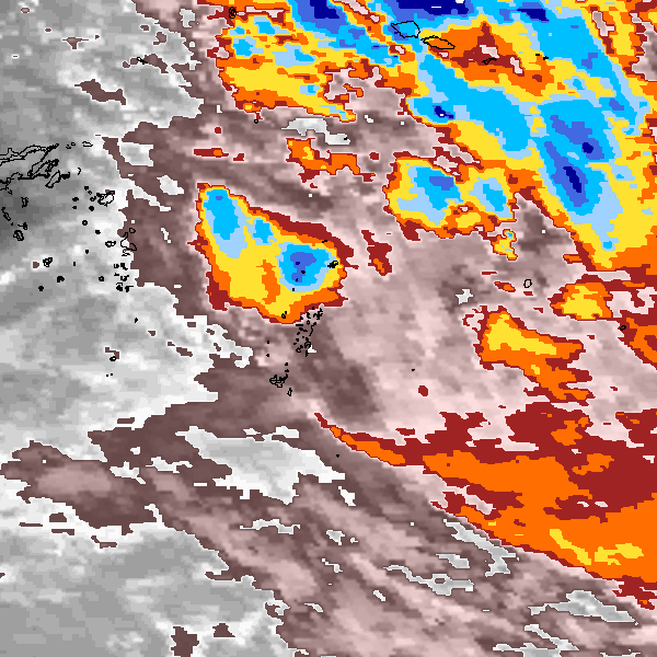
Storm track plot
|
Intensity plots
|
Radial wind information
No radial wind information for this storm
|
Position and Intensity Table
Source Information
| Agency |
Information |
| USA |
bsh071994.txt |
| TOKYO |
|
| CMA |
|
| HKO |
|
| NEWDELHI |
|
| REUNION |
|
| BOM |
|
| NADI |
|
| WELLINGTON |
|
| DS824 |
|
| TD9636 |
|
| TD9635 |
|
| NEUMANN |
tracks.sh:Storm=989:HSK0794:BSH071994:JTWC |
| MLC |
|
All available IBTrACS Data
| SEASON |
BASIN |
SUBBASIN |
ISO_TIME_________ |
NATURE |
LAT |
LON |
DIST2LAND |
LANDFALL |
IFLAG |
USA AGENCY |
USA ATCF_ID |
USA LAT |
USA LON |
USA WIND |
USA SSHS |
NEUMANN LAT |
NEUMANN LON |
NEUMANN CLASS |
NEUMANN WIND |
STORM SPEED |
STORM DIR |
| Year |
|
|
|
|
degrees north |
degrees east |
km |
km |
|
|
|
degrees north |
degrees east |
kts |
1 |
degrees north |
degrees east |
|
kts |
kts |
degrees |
| 1994 |
SP |
MM |
1994-01-06 00:00:00 |
TS |
-17.60 |
-178.50 |
192 |
192 |
O___________O_ |
jtwc_sh |
SH071994 |
-17.60 |
-178.50 |
20 |
-1 |
-17.60 |
-178.50 |
TC |
20 |
4 |
137 |
| 1994 |
SP |
MM |
03:00:00 |
TS |
-17.75 |
-178.35 |
221 |
221 |
P___________P_ |
|
SH071994 |
-17.75 |
-178.35 |
22 |
-1 |
-17.75 |
-178.35 |
TC |
22 |
4 |
137 |
| 1994 |
SP |
MM |
06:00:00 |
TS |
-17.90 |
-178.20 |
236 |
236 |
O___________O_ |
jtwc_sh |
SH071994 |
-17.90 |
-178.20 |
25 |
-1 |
-17.90 |
-178.20 |
TC |
25 |
4 |
137 |
| 1994 |
SP |
MM |
09:00:00 |
TS |
-18.05 |
-178.06 |
251 |
251 |
P___________P_ |
|
SH071994 |
-18.05 |
-178.06 |
25 |
-1 |
-18.05 |
-178.06 |
TC |
25 |
4 |
137 |
| 1994 |
SP |
MM |
12:00:00 |
TS |
-18.20 |
-177.90 |
281 |
281 |
O___________O_ |
jtwc_sh |
SH071994 |
-18.20 |
-177.90 |
25 |
-1 |
-18.20 |
-177.90 |
TC |
25 |
4 |
132 |
| 1994 |
SP |
MM |
15:00:00 |
TS |
-18.34 |
-177.71 |
304 |
304 |
P___________P_ |
|
SH071994 |
-18.34 |
-177.71 |
27 |
-1 |
-18.34 |
-177.71 |
TC |
27 |
5 |
128 |
| 1994 |
SP |
MM |
18:00:00 |
TS |
-18.50 |
-177.50 |
334 |
334 |
O___________O_ |
jtwc_sh |
SH071994 |
-18.50 |
-177.50 |
30 |
-1 |
-18.50 |
-177.50 |
TC |
30 |
5 |
129 |
| 1994 |
SP |
MM |
21:00:00 |
TS |
-18.68 |
-177.27 |
364 |
364 |
P___________P_ |
|
SH071994 |
-18.68 |
-177.27 |
30 |
-1 |
-18.68 |
-177.27 |
TC |
30 |
6 |
130 |
| 1994 |
SP |
MM |
1994-01-07 00:00:00 |
TS |
-18.90 |
-177.00 |
403 |
403 |
O___________O_ |
jtwc_sh |
SH071994 |
-18.90 |
-177.00 |
30 |
-1 |
-18.90 |
-177.00 |
TC |
30 |
7 |
131 |
| 1994 |
SP |
MM |
03:00:00 |
TS |
-19.16 |
-176.69 |
448 |
448 |
P___________P_ |
|
SH071994 |
-19.16 |
-176.69 |
30 |
-1 |
-19.16 |
-176.69 |
TC |
30 |
8 |
127 |
| 1994 |
SP |
MM |
06:00:00 |
TS |
-19.40 |
-176.30 |
495 |
495 |
O___________O_ |
jtwc_sh |
SH071994 |
-19.40 |
-176.30 |
30 |
-1 |
-19.40 |
-176.30 |
TC |
30 |
10 |
115 |
| 1994 |
SP |
MM |
09:00:00 |
TS |
-19.57 |
-175.78 |
551 |
551 |
P___________P_ |
|
SH071994 |
-19.57 |
-175.78 |
30 |
-1 |
-19.57 |
-175.78 |
TC |
30 |
11 |
106 |
| 1994 |
SP |
MM |
12:00:00 |
TS |
-19.70 |
-175.20 |
610 |
610 |
O___________O_ |
jtwc_sh |
SH071994 |
-19.70 |
-175.20 |
30 |
-1 |
-19.70 |
-175.20 |
TC |
30 |
11 |
105 |
| 1994 |
SP |
MM |
15:00:00 |
TS |
-19.85 |
-174.64 |
670 |
670 |
P___________P_ |
|
SH071994 |
-19.85 |
-174.64 |
30 |
-1 |
-19.85 |
-174.64 |
TC |
30 |
11 |
106 |
| 1994 |
SP |
MM |
18:00:00 |
TS |
-20.00 |
-174.10 |
711 |
|
O___________O_ |
jtwc_sh |
SH071994 |
-20.00 |
-174.10 |
30 |
-1 |
-20.00 |
-174.10 |
TC |
30 |
11 |
107 |