1991
Moderate Tropical Storm NOT_NAMED (1991253S09080)
IBTrACS version v04r00. Visit
IBTrACS website for data access.
Please direct all questions to the
IBTrACS Q and A forum
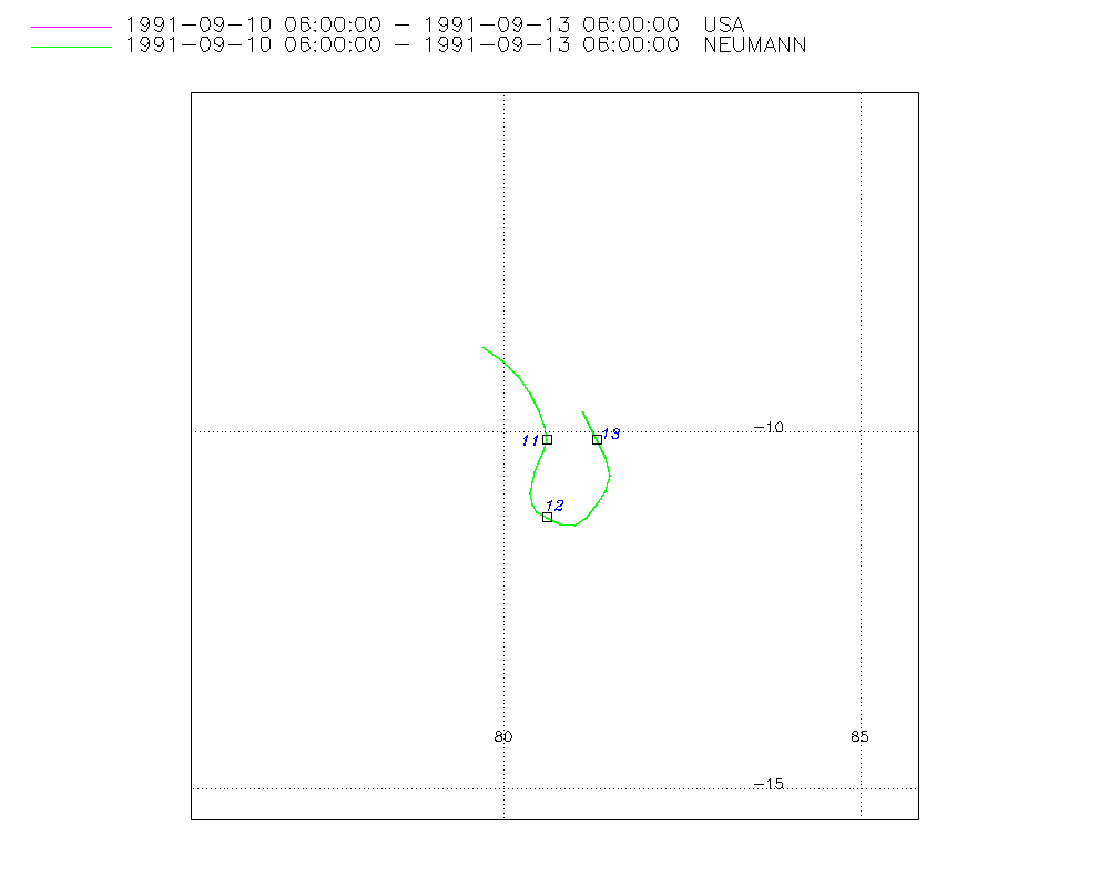
Storm track
-
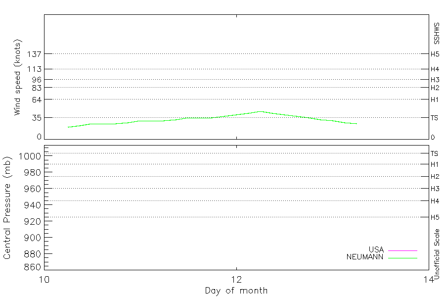
Intensity
-
Wind Radii
-
Intensity Data
-
Source Data
-
All data
Summary Information
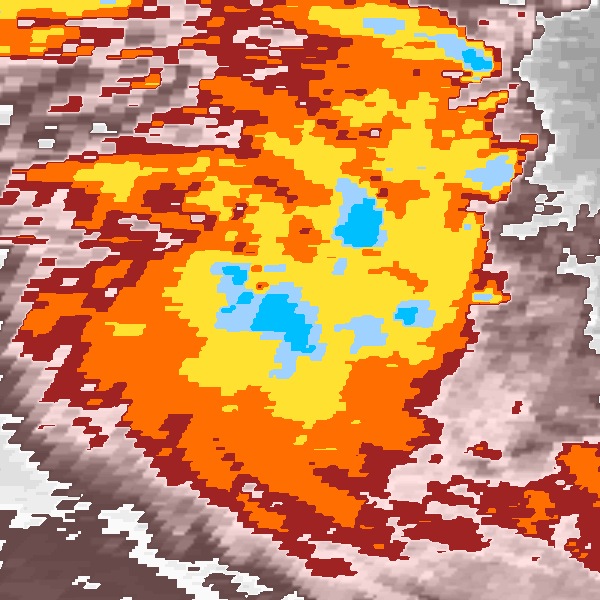
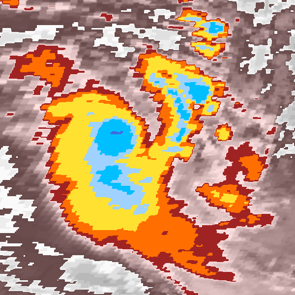
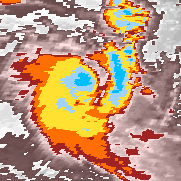
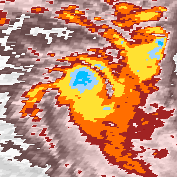
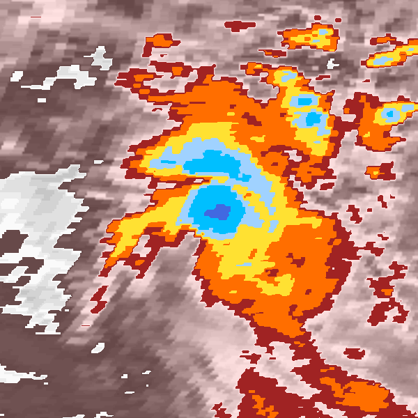
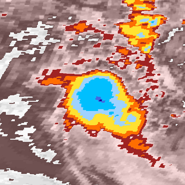
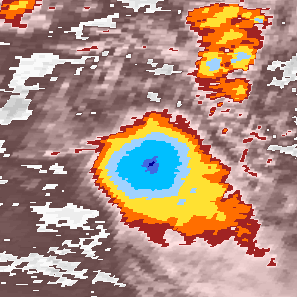
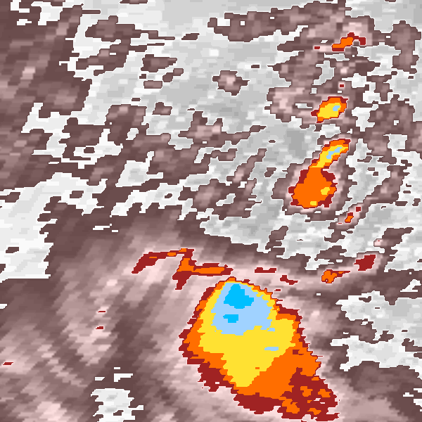
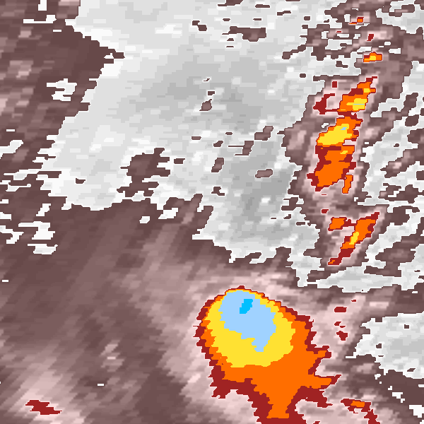
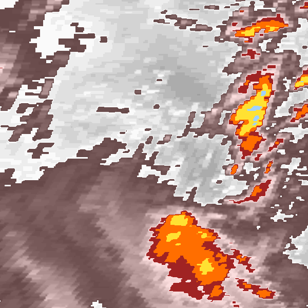
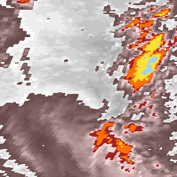
Storm track plot
|
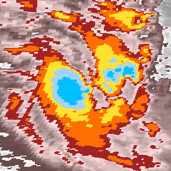
Intensity plots
|
Radial wind information
No radial wind information for this storm
|
Position and Intensity Table
Source Information
| Agency |
Information |
| USA |
bsh011992.txt |
| TOKYO |
|
| CMA |
|
| HKO |
|
| NEWDELHI |
|
| REUNION |
|
| BOM |
|
| NADI |
|
| WELLINGTON |
|
| DS824 |
|
| TD9636 |
|
| TD9635 |
|
| NEUMANN |
tracks.sh:Storm=922:HSK0192:BSH011992:JTWC |
| MLC |
|
All available IBTrACS Data
| SEASON |
BASIN |
SUBBASIN |
ISO_TIME_________ |
NATURE |
LAT |
LON |
DIST2LAND |
LANDFALL |
IFLAG |
USA AGENCY |
USA ATCF_ID |
USA LAT |
USA LON |
USA WIND |
USA SSHS |
NEUMANN LAT |
NEUMANN LON |
NEUMANN CLASS |
NEUMANN WIND |
STORM SPEED |
STORM DIR |
| Year |
|
|
|
|
degrees north |
degrees east |
km |
km |
|
|
|
degrees north |
degrees east |
kts |
1 |
degrees north |
degrees east |
|
kts |
kts |
degrees |
| 1992 |
SI |
MM |
1991-09-10 06:00:00 |
TS |
-8.80 |
79.70 |
1650 |
1649 |
O___________O_ |
jtwc_sh |
SH011992 |
-8.80 |
79.70 |
20 |
-1 |
-8.80 |
79.70 |
TC |
20 |
6 |
126 |
| 1992 |
SI |
MM |
09:00:00 |
TS |
-8.99 |
79.96 |
1670 |
1670 |
P___________P_ |
|
SH011992 |
-8.99 |
79.96 |
22 |
-1 |
-8.99 |
79.96 |
TC |
22 |
6 |
129 |
| 1992 |
SI |
MM |
12:00:00 |
TS |
-9.20 |
80.20 |
1692 |
1692 |
O___________O_ |
jtwc_sh |
SH011992 |
-9.20 |
80.20 |
25 |
-1 |
-9.20 |
80.20 |
TC |
25 |
6 |
138 |
| 1992 |
SI |
MM |
15:00:00 |
TS |
-9.45 |
80.38 |
1714 |
1714 |
P___________P_ |
|
SH011992 |
-9.45 |
80.38 |
25 |
-1 |
-9.45 |
80.38 |
TC |
25 |
6 |
149 |
| 1992 |
SI |
MM |
18:00:00 |
TS |
-9.70 |
80.50 |
1748 |
1748 |
O___________O_ |
jtwc_sh |
SH011992 |
-9.70 |
80.50 |
25 |
-1 |
-9.70 |
80.50 |
TC |
25 |
5 |
157 |
| 1992 |
SI |
MM |
21:00:00 |
TS |
-9.91 |
80.58 |
1770 |
1770 |
P___________P_ |
|
SH011992 |
-9.91 |
80.58 |
27 |
-1 |
-9.91 |
80.58 |
TC |
27 |
4 |
167 |
| 1992 |
SI |
MM |
1991-09-11 00:00:00 |
TS |
-10.10 |
80.60 |
1792 |
1792 |
O___________O_ |
jtwc_sh |
SH011992 |
-10.10 |
80.60 |
30 |
-1 |
-10.10 |
80.60 |
TC |
30 |
3 |
182 |
| 1992 |
SI |
MM |
03:00:00 |
TS |
-10.26 |
80.57 |
1815 |
1815 |
P___________P_ |
|
SH011992 |
-10.26 |
80.57 |
30 |
-1 |
-10.26 |
80.57 |
TC |
30 |
3 |
197 |
| 1992 |
SI |
MM |
06:00:00 |
TS |
-10.40 |
80.50 |
1826 |
1826 |
O___________O_ |
jtwc_sh |
SH011992 |
-10.40 |
80.50 |
30 |
-1 |
-10.40 |
80.50 |
TC |
30 |
3 |
202 |
| 1992 |
SI |
MM |
09:00:00 |
TS |
-10.55 |
80.44 |
1837 |
1848 |
P___________P_ |
|
SH011992 |
-10.55 |
80.44 |
32 |
-1 |
-10.55 |
80.44 |
TC |
32 |
3 |
197 |
| 1992 |
SI |
MM |
12:00:00 |
TS |
-10.70 |
80.40 |
1860 |
1860 |
O___________O_ |
jtwc_sh |
SH011992 |
-10.70 |
80.40 |
35 |
0 |
-10.70 |
80.40 |
TC |
35 |
3 |
192 |
| 1992 |
SI |
MM |
15:00:00 |
TS |
-10.86 |
80.38 |
1882 |
1882 |
P___________P_ |
|
SH011992 |
-10.86 |
80.38 |
35 |
0 |
-10.86 |
80.38 |
TC |
35 |
3 |
0 |
| 1992 |
SI |
MM |
18:00:00 |
TS |
-11.00 |
80.40 |
1893 |
1893 |
O___________O_ |
jtwc_sh |
SH011992 |
-11.00 |
80.40 |
35 |
0 |
-11.00 |
80.40 |
TC |
35 |
3 |
162 |
| 1992 |
SI |
MM |
21:00:00 |
TS |
-11.11 |
80.47 |
1904 |
1904 |
P___________P_ |
|
SH011992 |
-11.11 |
80.47 |
37 |
0 |
-11.11 |
80.47 |
TC |
37 |
3 |
135 |
| 1992 |
SI |
MM |
1991-09-12 00:00:00 |
TS |
-11.20 |
80.60 |
1915 |
1915 |
O___________O_ |
jtwc_sh |
SH011992 |
-11.20 |
80.60 |
40 |
0 |
-11.20 |
80.60 |
TC |
40 |
4 |
119 |
| 1992 |
SI |
MM |
03:00:00 |
TS |
-11.29 |
80.79 |
1927 |
1927 |
P___________P_ |
|
SH011992 |
-11.29 |
80.79 |
42 |
0 |
-11.29 |
80.79 |
TC |
42 |
4 |
104 |
| 1992 |
SI |
MM |
06:00:00 |
TS |
-11.30 |
81.00 |
1927 |
1916 |
O___________O_ |
jtwc_sh |
SH011992 |
-11.30 |
81.00 |
45 |
0 |
-11.30 |
81.00 |
TC |
45 |
4 |
75 |
| 1992 |
SI |
MM |
09:00:00 |
TS |
-11.19 |
81.17 |
1917 |
1895 |
P___________P_ |
|
SH011992 |
-11.19 |
81.17 |
42 |
0 |
-11.19 |
81.17 |
TC |
42 |
4 |
44 |
| 1992 |
SI |
MM |
12:00:00 |
TS |
-11.00 |
81.30 |
1895 |
1873 |
O___________O_ |
jtwc_sh |
SH011992 |
-11.00 |
81.30 |
40 |
0 |
-11.00 |
81.30 |
TC |
40 |
5 |
36 |
| 1992 |
SI |
MM |
15:00:00 |
TS |
-10.81 |
81.44 |
1873 |
1851 |
P___________P_ |
|
SH011992 |
-10.81 |
81.44 |
37 |
0 |
-10.81 |
81.44 |
TC |
37 |
4 |
26 |
| 1992 |
SI |
MM |
18:00:00 |
TS |
-10.60 |
81.50 |
1851 |
1828 |
O___________O_ |
jtwc_sh |
SH011992 |
-10.60 |
81.50 |
35 |
0 |
-10.60 |
81.50 |
TC |
35 |
5 |
0 |
| 1992 |
SI |
MM |
21:00:00 |
TS |
-10.35 |
81.43 |
1828 |
1794 |
P___________P_ |
|
SH011992 |
-10.35 |
81.43 |
32 |
-1 |
-10.35 |
81.43 |
TC |
32 |
5 |
338 |
| 1992 |
SI |
MM |
1991-09-13 00:00:00 |
TS |
-10.10 |
81.30 |
1794 |
1771 |
O___________O_ |
jtwc_sh |
SH011992 |
-10.10 |
81.30 |
30 |
-1 |
-10.10 |
81.30 |
TC |
30 |
5 |
333 |
| 1992 |
SI |
MM |
03:00:00 |
TS |
-9.89 |
81.19 |
1771 |
1748 |
P___________P_ |
|
SH011992 |
-9.89 |
81.19 |
27 |
-1 |
-9.89 |
81.19 |
TC |
27 |
4 |
334 |
| 1992 |
SI |
MM |
06:00:00 |
TS |
-9.70 |
81.10 |
1748 |
|
O___________O_ |
jtwc_sh |
SH011992 |
-9.70 |
81.10 |
25 |
-1 |
-9.70 |
81.10 |
TC |
25 |
4 |
336 |