1989
Tropical Depression NOT_NAMED (1989231N22154)
IBTrACS version v04r00. Visit
IBTrACS website for data access.
Please direct all questions to the
IBTrACS Q and A forum
Storm track
-
Intensity
-
Wind Radii
-
Intensity Data
-
Source Data
-
All data
Summary Information
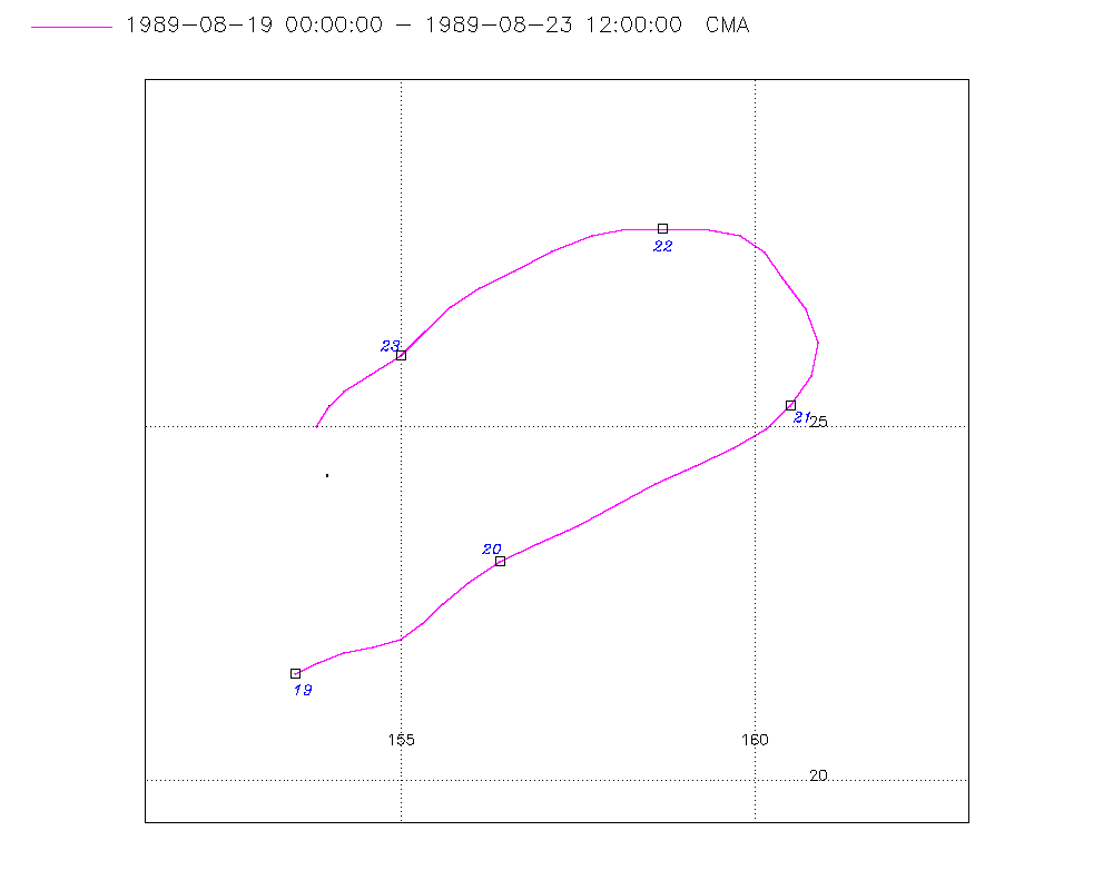
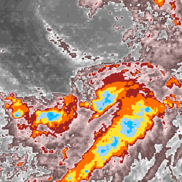
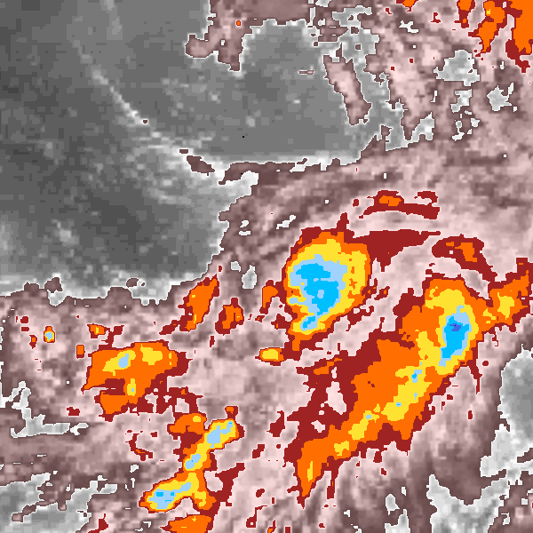
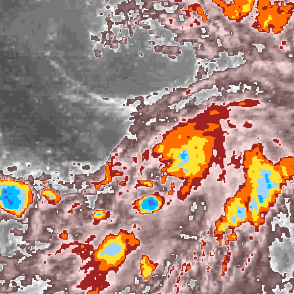
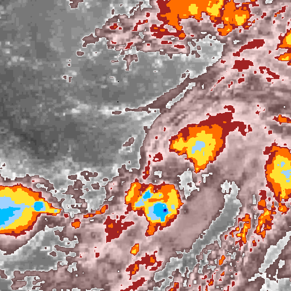
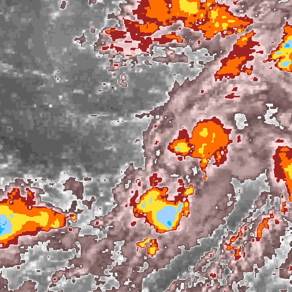
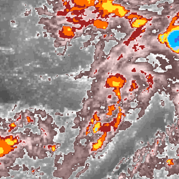
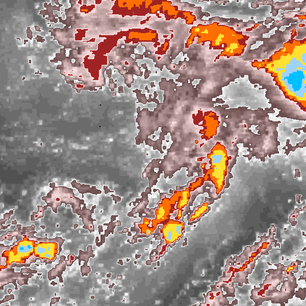
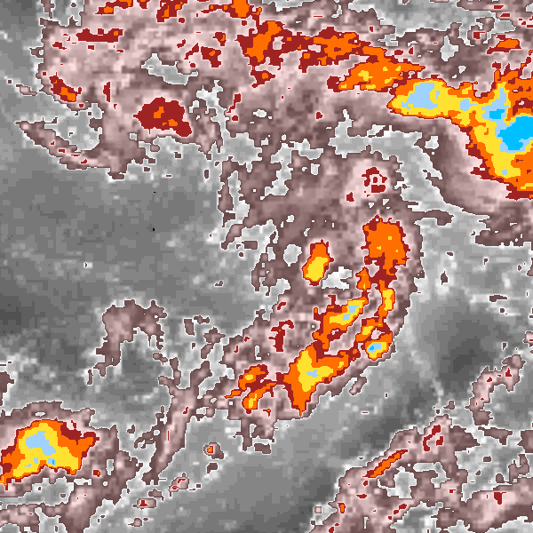
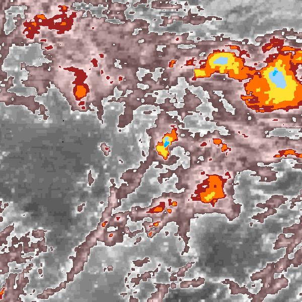
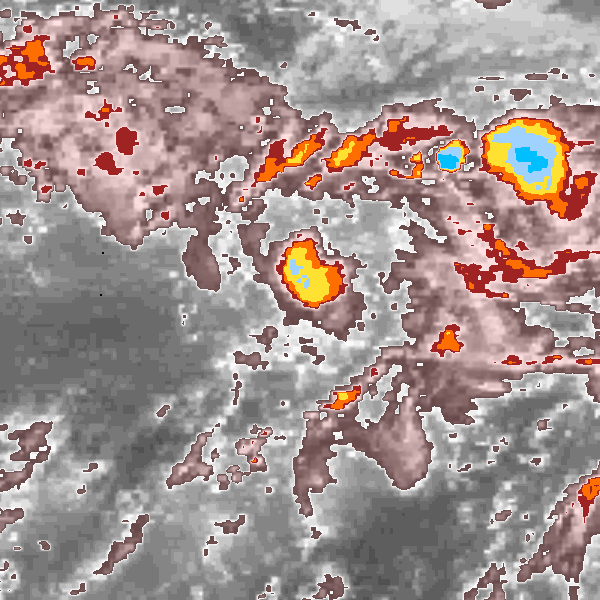
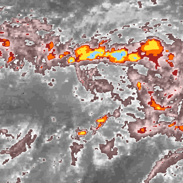
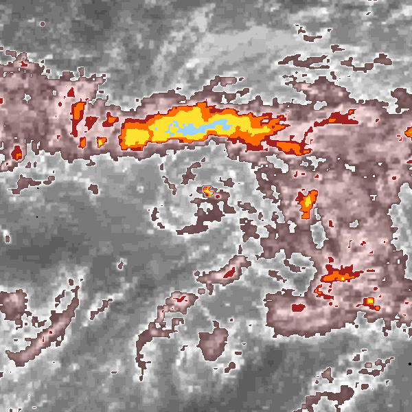
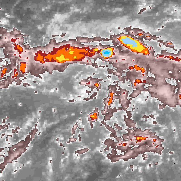
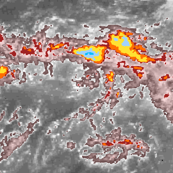
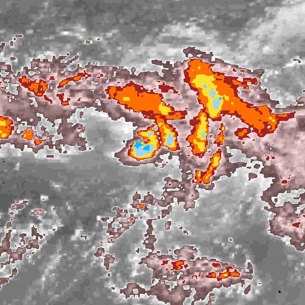
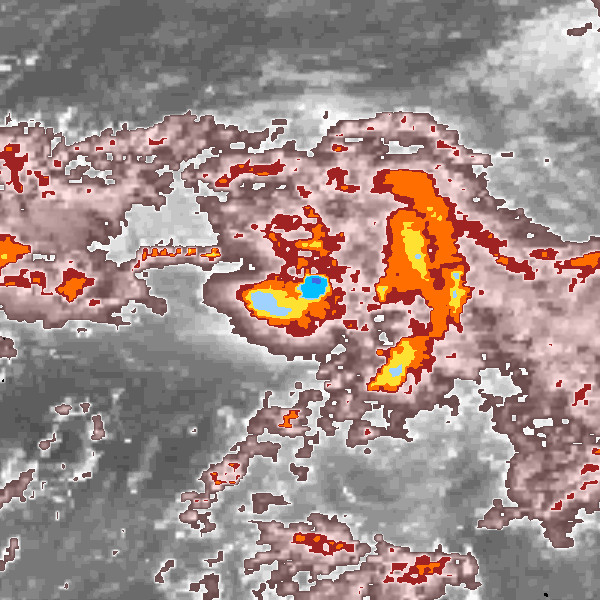
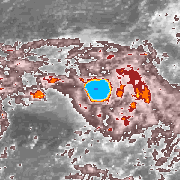
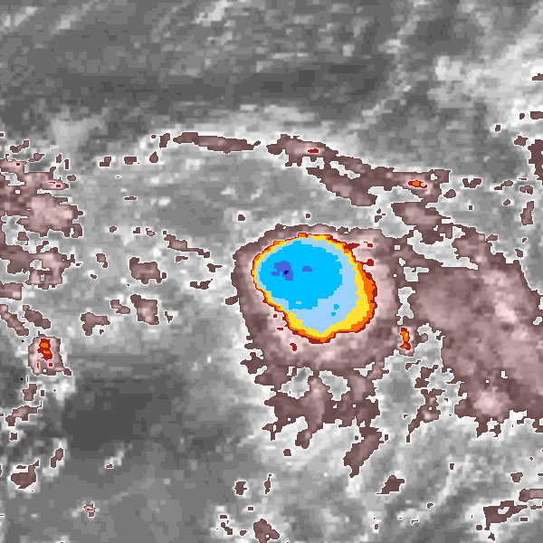
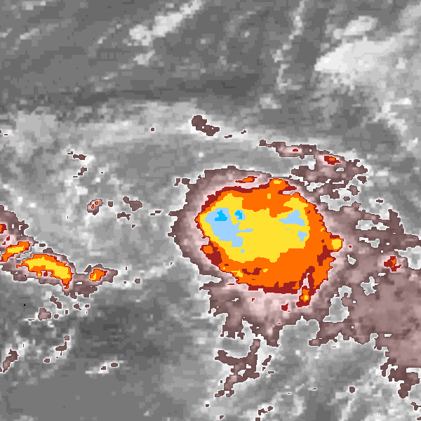
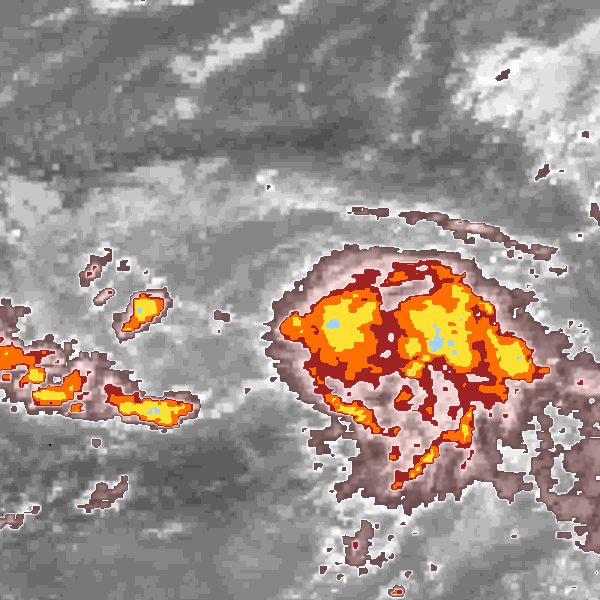
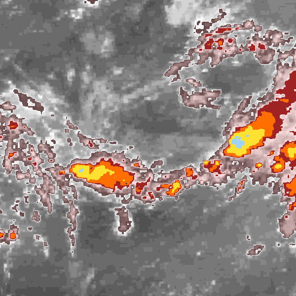
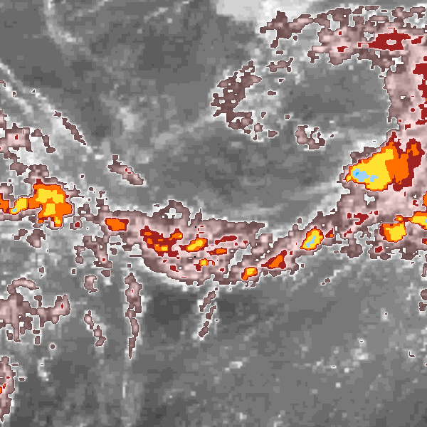
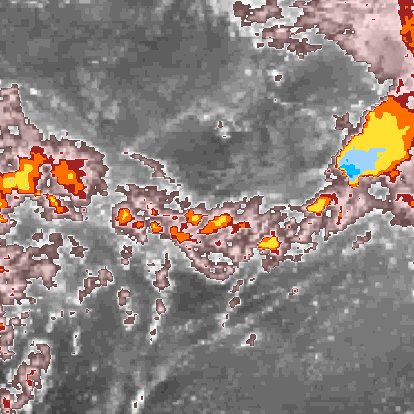
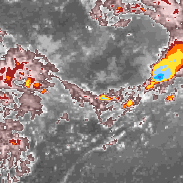
Storm track plot
|
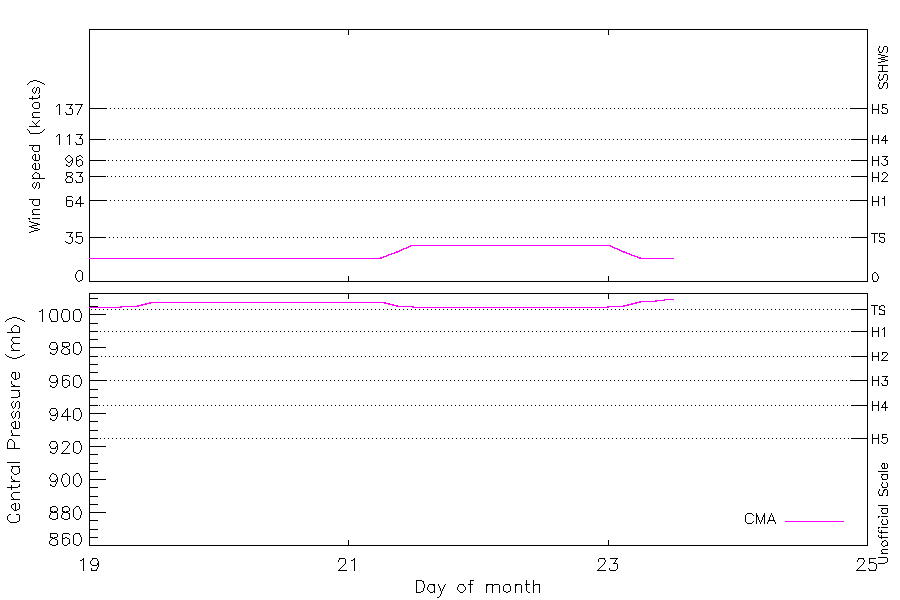
Intensity plots
|
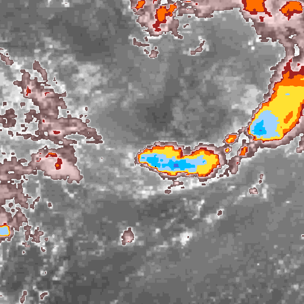
Radial wind information
No radial wind information for this storm
|
Position and Intensity Table
Source Information
| Agency |
Information |
| USA |
|
| TOKYO |
|
| CMA |
CH1989BST.txt:Storm=23:(nameless) |
| HKO |
|
| NEWDELHI |
|
| REUNION |
|
| BOM |
|
| NADI |
|
| WELLINGTON |
|
| DS824 |
|
| TD9636 |
|
| TD9635 |
|
| NEUMANN |
|
| MLC |
|
All available IBTrACS Data
| SEASON |
BASIN |
SUBBASIN |
ISO_TIME_________ |
NATURE |
LAT |
LON |
DIST2LAND |
LANDFALL |
IFLAG |
USA SSHS |
CMA LAT |
CMA LON |
CMA CAT |
CMA WIND |
CMA PRES |
STORM SPEED |
STORM DIR |
| Year |
|
|
|
|
degrees north |
degrees east |
km |
km |
|
1 |
degrees north |
degrees east |
1 |
kts |
mb |
kts |
degrees |
| 1989 |
WP |
MM |
1989-08-19 00:00:00 |
TS |
21.50 |
153.50 |
1990 |
1987 |
__O___________ |
-5 |
21.50 |
153.50 |
0 |
19 |
1005 |
7 |
62 |
| 1989 |
WP |
MM |
03:00:00 |
TS |
21.67 |
153.83 |
1991 |
1991 |
__P___________ |
-5 |
21.67 |
153.83 |
0 |
19 |
1005 |
7 |
65 |
| 1989 |
WP |
MM |
06:00:00 |
TS |
21.80 |
154.20 |
2008 |
2008 |
__O___________ |
-5 |
21.80 |
154.20 |
0 |
19 |
1005 |
8 |
73 |
| 1989 |
WP |
MM |
09:00:00 |
TS |
21.89 |
154.61 |
2026 |
2026 |
__P___________ |
-5 |
21.89 |
154.61 |
0 |
19 |
1006 |
8 |
75 |
| 1989 |
WP |
MM |
12:00:00 |
TS |
22.00 |
155.00 |
2044 |
2040 |
__O___________ |
-5 |
22.00 |
155.00 |
0 |
19 |
1008 |
7 |
62 |
| 1989 |
WP |
MM |
15:00:00 |
TS |
22.22 |
155.30 |
2047 |
2036 |
__P___________ |
-5 |
22.22 |
155.30 |
0 |
19 |
1008 |
7 |
48 |
| 1989 |
WP |
MM |
18:00:00 |
TS |
22.50 |
155.60 |
2043 |
2040 |
__O___________ |
-5 |
22.50 |
155.60 |
0 |
19 |
1008 |
8 |
47 |
| 1989 |
WP |
MM |
21:00:00 |
TS |
22.80 |
155.96 |
2047 |
2039 |
__P___________ |
-5 |
22.80 |
155.96 |
0 |
19 |
1008 |
10 |
51 |
| 1989 |
WP |
MM |
1989-08-20 00:00:00 |
TS |
23.10 |
156.40 |
2050 |
2049 |
__O___________ |
-5 |
23.10 |
156.40 |
0 |
19 |
1008 |
10 |
58 |
| 1989 |
WP |
MM |
03:00:00 |
TS |
23.35 |
156.93 |
2061 |
2061 |
__P___________ |
-5 |
23.35 |
156.93 |
0 |
19 |
1008 |
11 |
64 |
| 1989 |
WP |
MM |
06:00:00 |
TS |
23.60 |
157.50 |
2089 |
2089 |
__O___________ |
-5 |
23.60 |
157.50 |
0 |
19 |
1008 |
12 |
62 |
| 1989 |
WP |
MM |
09:00:00 |
TS |
23.90 |
158.05 |
2110 |
2103 |
__P___________ |
-5 |
23.90 |
158.05 |
0 |
19 |
1008 |
12 |
59 |
| 1989 |
WP |
MM |
12:00:00 |
TS |
24.20 |
158.60 |
2126 |
2126 |
__O___________ |
-5 |
24.20 |
158.60 |
0 |
19 |
1008 |
12 |
62 |
| 1989 |
WP |
MM |
15:00:00 |
TS |
24.45 |
159.17 |
2150 |
2150 |
__P___________ |
-5 |
24.45 |
159.17 |
0 |
19 |
1008 |
11 |
63 |
| 1989 |
WP |
MM |
18:00:00 |
TS |
24.70 |
159.70 |
2175 |
2175 |
__O___________ |
-5 |
24.70 |
159.70 |
0 |
19 |
1008 |
10 |
60 |
| 1989 |
WP |
MM |
21:00:00 |
TS |
24.97 |
160.15 |
2194 |
2194 |
__P___________ |
-5 |
24.97 |
160.15 |
0 |
19 |
1008 |
9 |
50 |
| 1989 |
WP |
MM |
1989-08-21 00:00:00 |
TS |
25.30 |
160.50 |
2198 |
2193 |
__O___________ |
-5 |
25.30 |
160.50 |
0 |
19 |
1008 |
10 |
38 |
| 1989 |
WP |
MM |
03:00:00 |
TS |
25.73 |
160.80 |
2196 |
2173 |
__P___________ |
-5 |
25.73 |
160.80 |
0 |
19 |
1008 |
10 |
22 |
| 1989 |
WP |
MM |
06:00:00 |
TS |
26.20 |
160.90 |
2173 |
2131 |
__O___________ |
-5 |
26.20 |
160.90 |
0 |
19 |
1008 |
10 |
356 |
| 1989 |
WP |
MM |
09:00:00 |
TS |
26.67 |
160.73 |
2125 |
2076 |
__P___________ |
-5 |
26.67 |
160.73 |
0 |
24 |
1006 |
10 |
334 |
| 1989 |
WP |
MM |
12:00:00 |
TS |
27.10 |
160.40 |
2076 |
2041 |
__O___________ |
-5 |
27.10 |
160.40 |
1 |
29 |
1005 |
9 |
327 |
| 1989 |
WP |
MM |
15:00:00 |
TS |
27.46 |
160.14 |
2027 |
1990 |
__P___________ |
-5 |
27.46 |
160.14 |
1 |
29 |
1005 |
8 |
318 |
| 1989 |
WP |
MM |
18:00:00 |
TS |
27.70 |
159.80 |
1990 |
1943 |
__O___________ |
-5 |
27.70 |
159.80 |
1 |
29 |
1005 |
8 |
294 |
| 1989 |
WP |
MM |
21:00:00 |
TS |
27.80 |
159.28 |
1943 |
1893 |
__P___________ |
-5 |
27.80 |
159.28 |
1 |
29 |
1005 |
10 |
276 |
| 1989 |
WP |
MM |
1989-08-22 00:00:00 |
TS |
27.80 |
158.70 |
1893 |
1851 |
__O___________ |
-5 |
27.80 |
158.70 |
1 |
29 |
1005 |
10 |
270 |
| 1989 |
WP |
MM |
03:00:00 |
TS |
27.79 |
158.20 |
1851 |
1816 |
__P___________ |
-5 |
27.79 |
158.20 |
1 |
29 |
1005 |
9 |
264 |
| 1989 |
WP |
MM |
06:00:00 |
TS |
27.70 |
157.70 |
1816 |
1788 |
__O___________ |
-5 |
27.70 |
157.70 |
1 |
29 |
1005 |
10 |
251 |
| 1989 |
WP |
MM |
09:00:00 |
TS |
27.48 |
157.14 |
1780 |
1759 |
__P___________ |
-5 |
27.48 |
157.14 |
1 |
29 |
1005 |
11 |
243 |
| 1989 |
WP |
MM |
12:00:00 |
TS |
27.20 |
156.60 |
1759 |
1734 |
__O___________ |
-5 |
27.20 |
156.60 |
1 |
29 |
1005 |
10 |
240 |
| 1989 |
WP |
MM |
15:00:00 |
TS |
26.96 |
156.12 |
1734 |
1723 |
__P___________ |
-5 |
26.96 |
156.12 |
1 |
29 |
1005 |
9 |
238 |
| 1989 |
WP |
MM |
18:00:00 |
TS |
26.70 |
155.70 |
1723 |
1715 |
__O___________ |
-5 |
26.70 |
155.70 |
1 |
29 |
1005 |
9 |
228 |
| 1989 |
WP |
MM |
21:00:00 |
TS |
26.35 |
155.34 |
1722 |
1722 |
__P___________ |
-5 |
26.35 |
155.34 |
1 |
29 |
1005 |
9 |
222 |
| 1989 |
WP |
MM |
1989-08-23 00:00:00 |
TS |
26.00 |
155.00 |
1722 |
1708 |
__O___________ |
-5 |
26.00 |
155.00 |
1 |
29 |
1005 |
9 |
228 |
| 1989 |
WP |
MM |
03:00:00 |
TS |
25.74 |
154.58 |
1715 |
1701 |
__P___________ |
-5 |
25.74 |
154.58 |
1 |
24 |
1006 |
9 |
235 |
| 1989 |
WP |
MM |
06:00:00 |
TS |
25.50 |
154.20 |
1702 |
1695 |
__O___________ |
-5 |
25.50 |
154.20 |
0 |
19 |
1008 |
7 |
229 |
| 1989 |
WP |
MM |
09:00:00 |
TS |
25.25 |
153.96 |
1704 |
1704 |
__P___________ |
-5 |
25.25 |
153.96 |
0 |
19 |
1009 |
6 |
216 |
| 1989 |
WP |
MM |
12:00:00 |
TS |
25.00 |
153.80 |
1715 |
|
__O___________ |
-5 |
25.00 |
153.80 |
0 |
19 |
1010 |
6 |
210 |