1989
Tropical Depression NOT_NAMED (1989176N14114)
IBTrACS version v04r00. Visit
IBTrACS website for data access.
Please direct all questions to the
IBTrACS Q and A forum
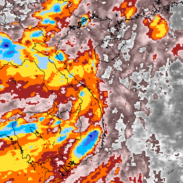
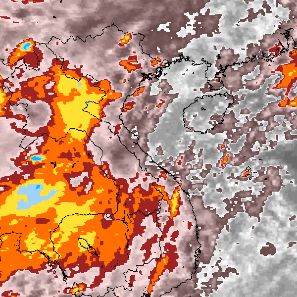
Storm track
-
Intensity
-
Wind Radii
-
Intensity Data
-
Source Data
-
All data
Summary Information
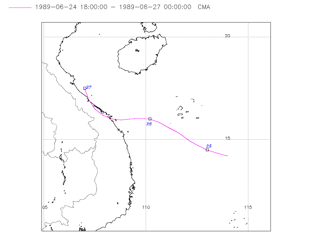
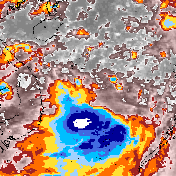
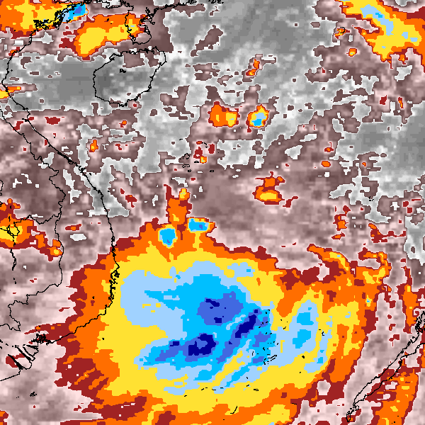
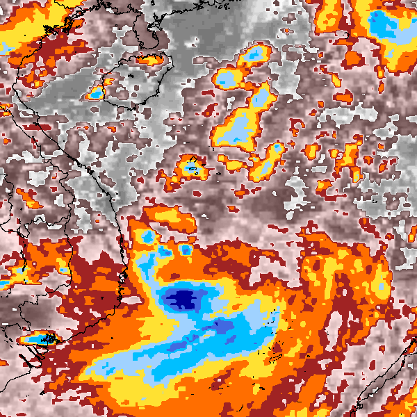
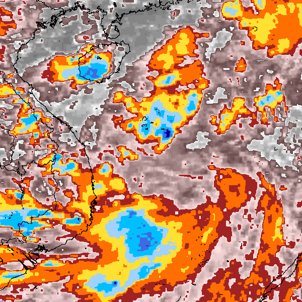
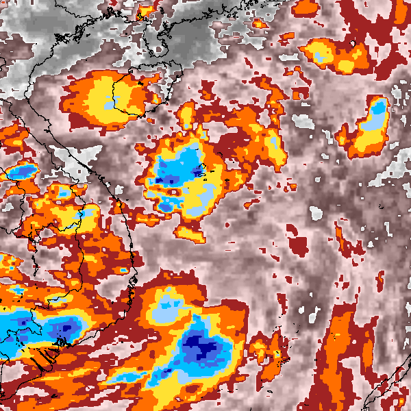
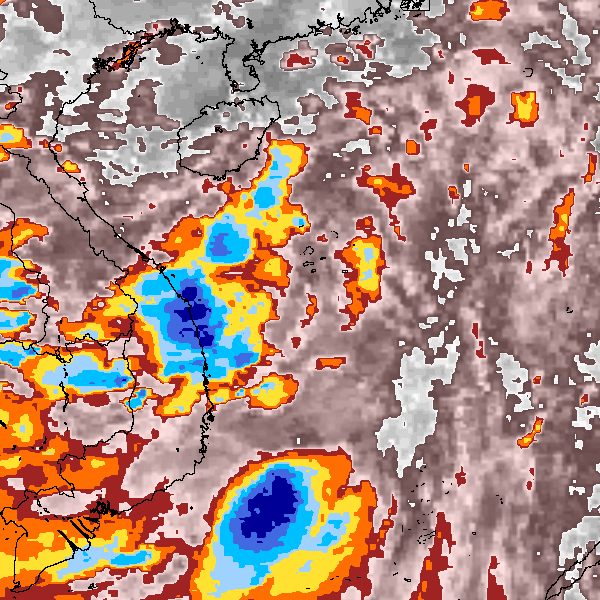
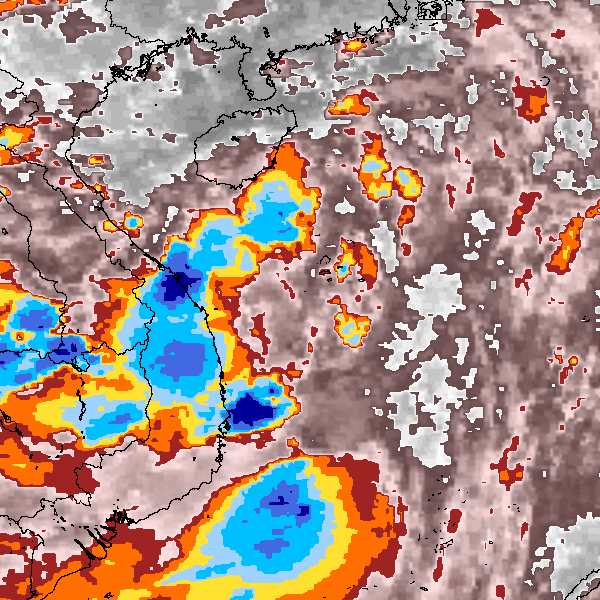
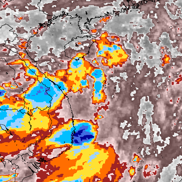
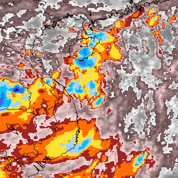
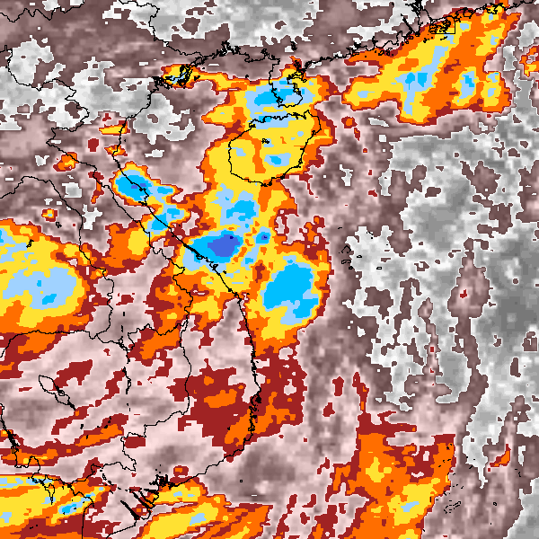
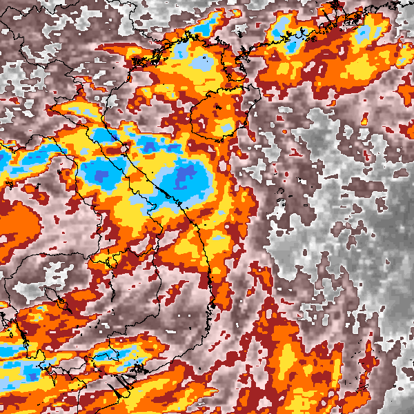
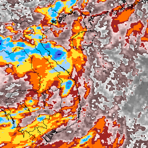
Storm track plot
|
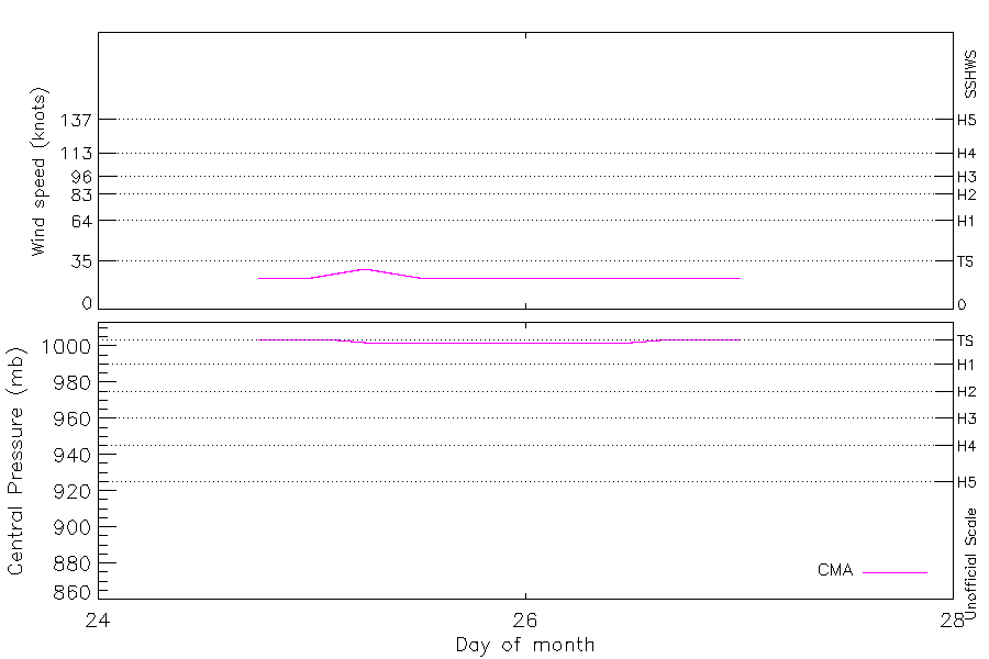
Intensity plots
|
Radial wind information
No radial wind information for this storm
|
Position and Intensity Table
Source Information
| Agency |
Information |
| USA |
|
| TOKYO |
|
| CMA |
CH1989BST.txt:Storm=8:(nameless) |
| HKO |
|
| NEWDELHI |
|
| REUNION |
|
| BOM |
|
| NADI |
|
| WELLINGTON |
|
| DS824 |
|
| TD9636 |
|
| TD9635 |
|
| NEUMANN |
|
| MLC |
|
All available IBTrACS Data
| SEASON |
BASIN |
SUBBASIN |
ISO_TIME_________ |
NATURE |
LAT |
LON |
DIST2LAND |
LANDFALL |
IFLAG |
USA SSHS |
CMA LAT |
CMA LON |
CMA CAT |
CMA WIND |
CMA PRES |
STORM SPEED |
STORM DIR |
| Year |
|
|
|
|
degrees north |
degrees east |
km |
km |
|
1 |
degrees north |
degrees east |
1 |
kts |
mb |
kts |
degrees |
| 1989 |
WP |
MM |
1989-06-24 18:00:00 |
TS |
14.20 |
114.00 |
508 |
455 |
__O___________ |
-5 |
14.20 |
114.00 |
1 |
23 |
1004 |
10 |
286 |
| 1989 |
WP |
MM |
21:00:00 |
TS |
14.34 |
113.49 |
455 |
404 |
__P___________ |
-5 |
14.34 |
113.49 |
1 |
23 |
1004 |
10 |
287 |
| 1989 |
WP |
MM |
1989-06-25 00:00:00 |
TS |
14.50 |
113.00 |
404 |
366 |
__O___________ |
-5 |
14.50 |
113.00 |
1 |
23 |
1004 |
10 |
292 |
| 1989 |
WP |
MM |
03:00:00 |
TS |
14.70 |
112.56 |
366 |
331 |
__P___________ |
-5 |
14.70 |
112.56 |
1 |
26 |
1003 |
9 |
297 |
| 1989 |
WP |
MM |
06:00:00 |
TS |
14.90 |
112.20 |
331 |
313 |
__O___________ |
-5 |
14.90 |
112.20 |
1 |
29 |
1002 |
6 |
303 |
| 1989 |
WP |
MM |
09:00:00 |
TS |
15.05 |
111.99 |
313 |
295 |
__P___________ |
-5 |
15.05 |
111.99 |
1 |
26 |
1002 |
5 |
308 |
| 1989 |
WP |
MM |
12:00:00 |
TS |
15.20 |
111.80 |
295 |
269 |
__O___________ |
-5 |
15.20 |
111.80 |
1 |
23 |
1002 |
6 |
305 |
| 1989 |
WP |
MM |
15:00:00 |
TS |
15.39 |
111.49 |
269 |
237 |
__P___________ |
-5 |
15.39 |
111.49 |
1 |
23 |
1002 |
8 |
301 |
| 1989 |
WP |
MM |
18:00:00 |
TS |
15.60 |
111.10 |
237 |
204 |
__O___________ |
-5 |
15.60 |
111.10 |
1 |
23 |
1002 |
9 |
299 |
| 1989 |
WP |
MM |
21:00:00 |
TS |
15.83 |
110.67 |
204 |
165 |
__P___________ |
-5 |
15.83 |
110.67 |
1 |
23 |
1002 |
10 |
295 |
| 1989 |
WP |
MM |
1989-06-26 00:00:00 |
TS |
16.00 |
110.20 |
165 |
123 |
__O___________ |
-5 |
16.00 |
110.20 |
1 |
23 |
1002 |
10 |
282 |
| 1989 |
WP |
MM |
03:00:00 |
TS |
16.03 |
109.69 |
123 |
85 |
__P___________ |
-5 |
16.03 |
109.69 |
1 |
23 |
1002 |
10 |
270 |
| 1989 |
WP |
MM |
06:00:00 |
TS |
16.00 |
109.20 |
85 |
48 |
__O___________ |
-5 |
16.00 |
109.20 |
1 |
23 |
1002 |
9 |
266 |
| 1989 |
WP |
MM |
09:00:00 |
TS |
15.96 |
108.79 |
48 |
10 |
__P___________ |
-5 |
15.96 |
108.79 |
1 |
23 |
1002 |
8 |
270 |
| 1989 |
WP |
MM |
12:00:00 |
TS |
16.00 |
108.40 |
10 |
0 |
__O___________ |
-5 |
16.00 |
108.40 |
1 |
23 |
1002 |
9 |
284 |
| 1989 |
WP |
MM |
15:00:00 |
TS |
16.18 |
107.93 |
0 |
0 |
__P___________ |
-5 |
16.18 |
107.93 |
1 |
23 |
1003 |
10 |
300 |
| 1989 |
WP |
MM |
18:00:00 |
TS |
16.50 |
107.50 |
0 |
0 |
__O___________ |
-5 |
16.50 |
107.50 |
1 |
23 |
1004 |
11 |
319 |
| 1989 |
WP |
MM |
21:00:00 |
TS |
16.96 |
107.21 |
10 |
0 |
__P___________ |
-5 |
16.96 |
107.21 |
1 |
23 |
1004 |
11 |
334 |
| 1989 |
WP |
MM |
1989-06-27 00:00:00 |
TS |
17.50 |
107.00 |
30 |
|
__O___________ |
-5 |
17.50 |
107.00 |
1 |
23 |
1004 |
12 |
340 |