1989
Tropical Depression ANDY (1989104N10149)
IBTrACS version v04r00. Visit
IBTrACS website for data access.
Please direct all questions to the
IBTrACS Q and A forum
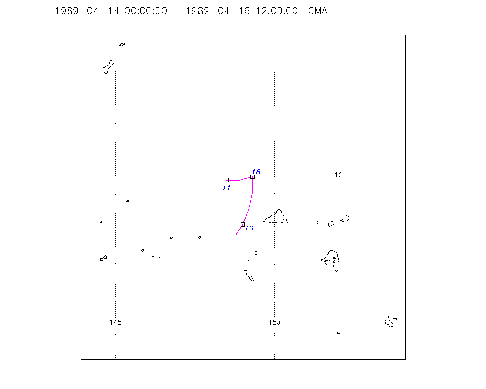
Storm track
-
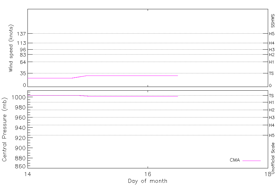
Intensity
-
Wind Radii
-
Intensity Data
-
Source Data
-
All data
Summary Information
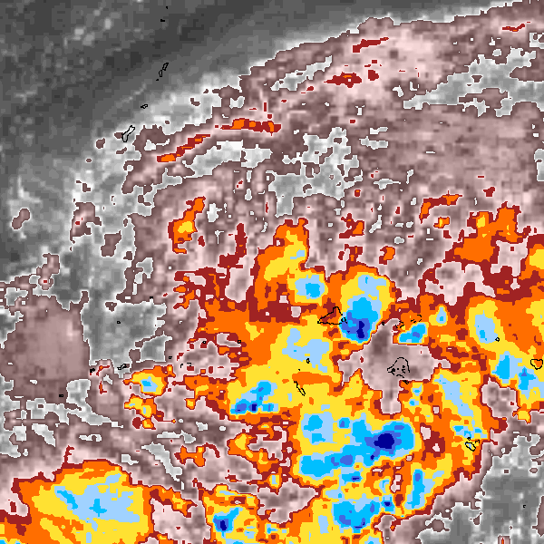
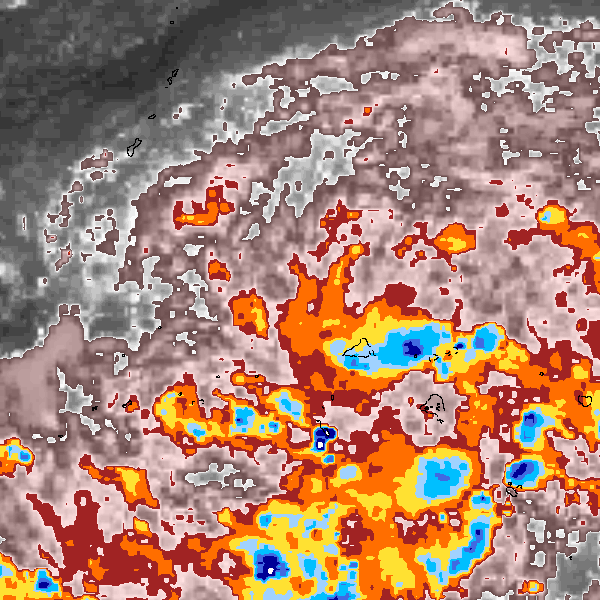
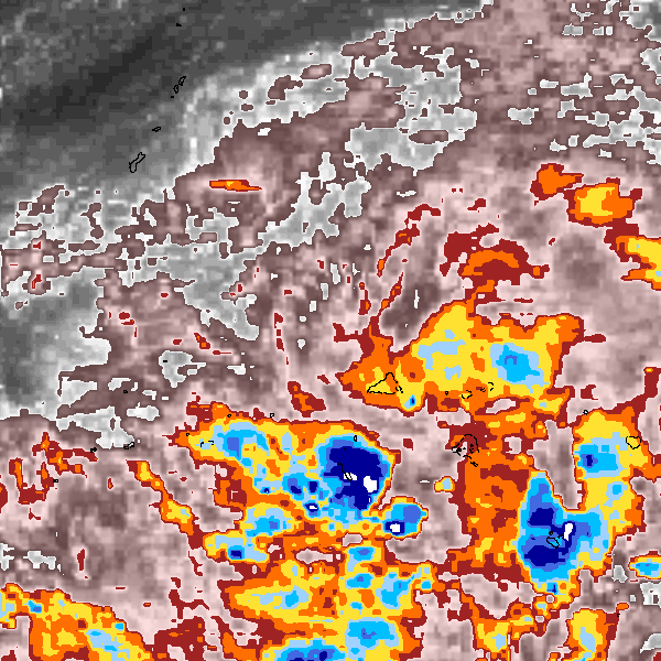
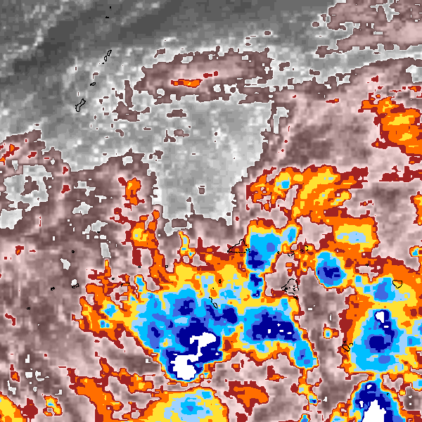
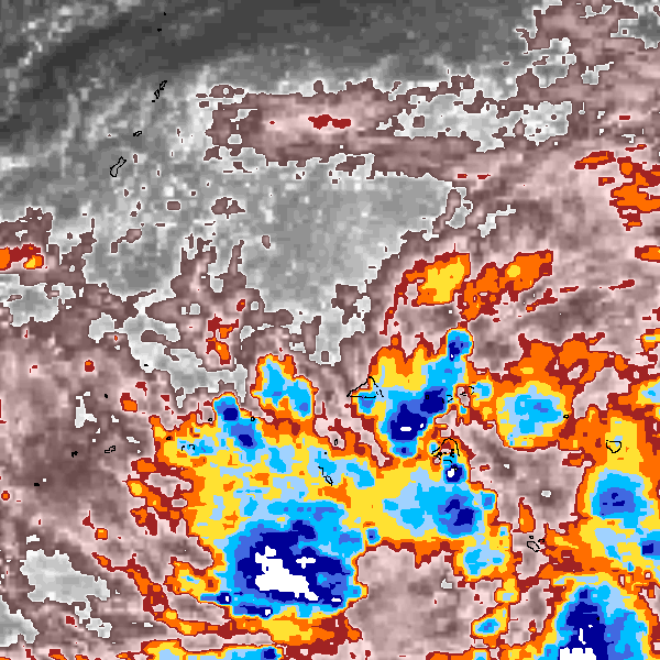
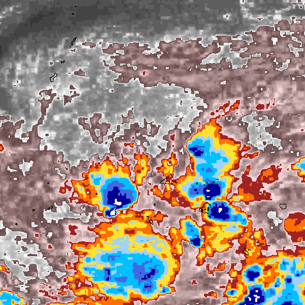
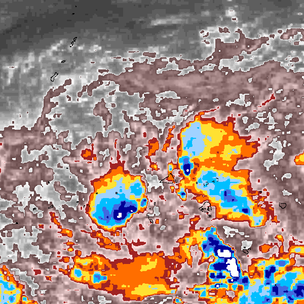
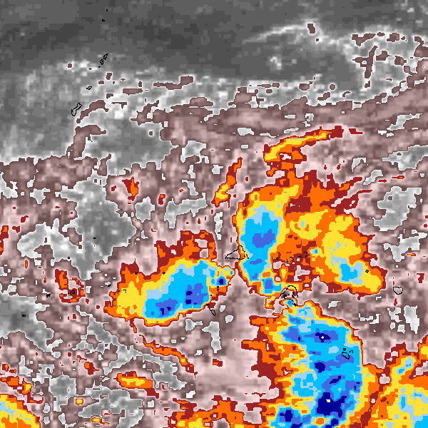
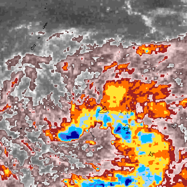
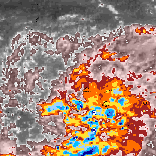
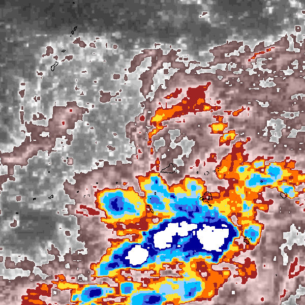
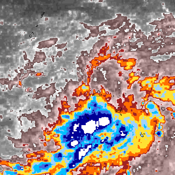
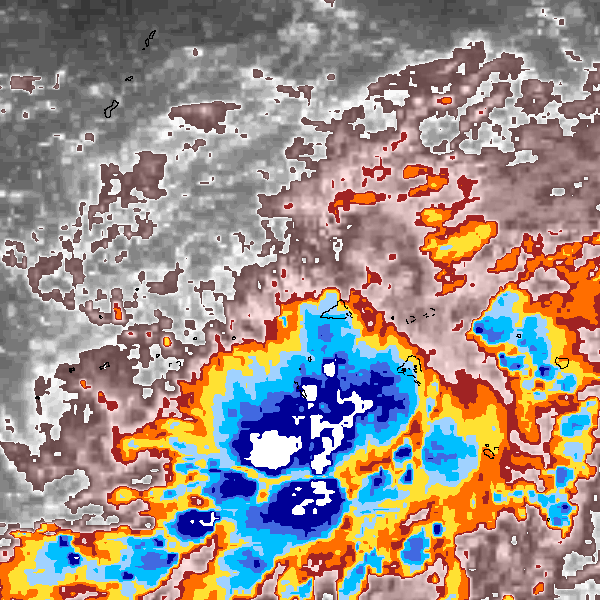
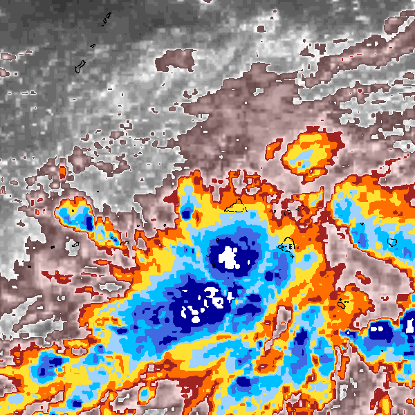
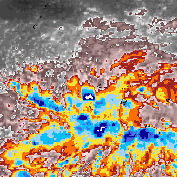
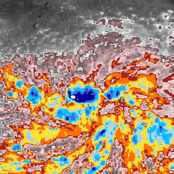
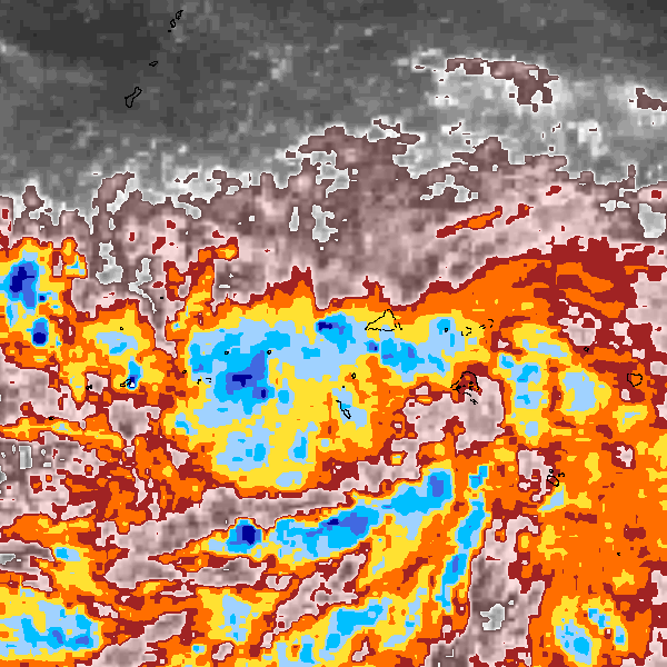
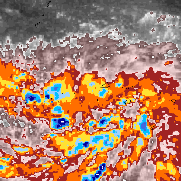
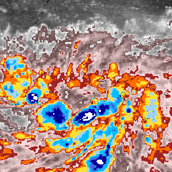
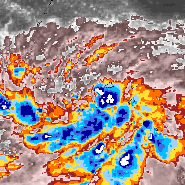
Storm track plot
|
Intensity plots
|
Radial wind information
No radial wind information for this storm
|
Position and Intensity Table
Source Information
| Agency |
Information |
| USA |
|
| TOKYO |
|
| CMA |
CH1989BST.txt:Storm=3:Andy |
| HKO |
|
| NEWDELHI |
|
| REUNION |
|
| BOM |
|
| NADI |
|
| WELLINGTON |
|
| DS824 |
|
| TD9636 |
|
| TD9635 |
|
| NEUMANN |
|
| MLC |
|
All available IBTrACS Data
| SEASON |
BASIN |
SUBBASIN |
ISO_TIME_________ |
NATURE |
LAT |
LON |
DIST2LAND |
LANDFALL |
IFLAG |
USA SSHS |
CMA LAT |
CMA LON |
CMA CAT |
CMA WIND |
CMA PRES |
STORM SPEED |
STORM DIR |
| Year |
|
|
|
|
degrees north |
degrees east |
km |
km |
|
1 |
degrees north |
degrees east |
1 |
kts |
mb |
kts |
degrees |
| 1989 |
WP |
MM |
1989-04-14 00:00:00 |
TS |
9.90 |
148.50 |
1350 |
1350 |
__O___________ |
-5 |
9.90 |
148.50 |
1 |
23 |
1004 |
1 |
274 |
| 1989 |
WP |
MM |
03:00:00 |
TS |
9.90 |
148.46 |
1350 |
1350 |
__P___________ |
-5 |
9.90 |
148.46 |
1 |
23 |
1004 |
0 |
0 |
| 1989 |
WP |
MM |
06:00:00 |
TS |
9.90 |
148.50 |
1350 |
1350 |
__O___________ |
-5 |
9.90 |
148.50 |
1 |
23 |
1004 |
2 |
93 |
| 1989 |
WP |
MM |
09:00:00 |
TS |
9.89 |
148.67 |
1352 |
1352 |
__P___________ |
-5 |
9.89 |
148.67 |
1 |
23 |
1004 |
4 |
90 |
| 1989 |
WP |
MM |
12:00:00 |
TS |
9.90 |
148.90 |
1354 |
1354 |
__O___________ |
-5 |
9.90 |
148.90 |
1 |
23 |
1004 |
5 |
83 |
| 1989 |
WP |
MM |
15:00:00 |
TS |
9.95 |
149.13 |
1368 |
1368 |
__P___________ |
-5 |
9.95 |
149.13 |
1 |
23 |
1004 |
4 |
76 |
| 1989 |
WP |
MM |
18:00:00 |
TS |
10.00 |
149.30 |
1372 |
1372 |
__O___________ |
-5 |
10.00 |
149.30 |
1 |
23 |
1004 |
2 |
74 |
| 1989 |
WP |
MM |
21:00:00 |
TS |
10.01 |
149.33 |
1372 |
1372 |
__P___________ |
-5 |
10.01 |
149.33 |
1 |
26 |
1003 |
0 |
0 |
| 1989 |
WP |
MM |
1989-04-15 00:00:00 |
TS |
10.00 |
149.30 |
1372 |
1372 |
__O___________ |
-5 |
10.00 |
149.30 |
1 |
29 |
1002 |
0 |
302 |
| 1989 |
WP |
MM |
03:00:00 |
TS |
10.04 |
149.30 |
1372 |
1372 |
__P___________ |
-5 |
10.04 |
149.30 |
1 |
29 |
1002 |
0 |
0 |
| 1989 |
WP |
MM |
06:00:00 |
TS |
10.00 |
149.30 |
1372 |
1349 |
__O___________ |
-5 |
10.00 |
149.30 |
1 |
29 |
1002 |
3 |
178 |
| 1989 |
WP |
MM |
09:00:00 |
TS |
9.79 |
149.31 |
1349 |
1316 |
__P___________ |
-5 |
9.79 |
149.31 |
1 |
29 |
1002 |
5 |
178 |
| 1989 |
WP |
MM |
12:00:00 |
TS |
9.50 |
149.30 |
1316 |
1294 |
__O___________ |
-5 |
9.50 |
149.30 |
1 |
29 |
1002 |
5 |
185 |
| 1989 |
WP |
MM |
15:00:00 |
TS |
9.25 |
149.27 |
1294 |
1259 |
__P___________ |
-5 |
9.25 |
149.27 |
1 |
29 |
1002 |
5 |
191 |
| 1989 |
WP |
MM |
18:00:00 |
TS |
9.00 |
149.20 |
1259 |
1224 |
__O___________ |
-5 |
9.00 |
149.20 |
1 |
29 |
1002 |
6 |
198 |
| 1989 |
WP |
MM |
21:00:00 |
TS |
8.71 |
149.09 |
1224 |
1200 |
__P___________ |
-5 |
8.71 |
149.09 |
1 |
29 |
1002 |
5 |
202 |
| 1989 |
WP |
MM |
1989-04-16 00:00:00 |
TS |
8.50 |
149.00 |
1200 |
1200 |
__O___________ |
-5 |
8.50 |
149.00 |
1 |
29 |
1002 |
2 |
201 |
| 1989 |
WP |
MM |
03:00:00 |
TS |
8.48 |
149.00 |
1200 |
1200 |
__P___________ |
-5 |
8.48 |
149.00 |
1 |
29 |
1002 |
0 |
0 |
| 1989 |
WP |
MM |
06:00:00 |
TS |
8.50 |
149.00 |
1200 |
1188 |
__O___________ |
-5 |
8.50 |
149.00 |
1 |
29 |
1002 |
2 |
216 |
| 1989 |
WP |
MM |
09:00:00 |
TS |
8.35 |
148.90 |
1188 |
1164 |
__P___________ |
-5 |
8.39 |
148.92 |
1 |
29 |
1002 |
4 |
213 |
| 1989 |
WP |
MM |
12:00:00 |
TS |
8.20 |
148.80 |
1164 |
1164 |
__O___________ |
-5 |
8.20 |
148.80 |
1 |
29 |
1002 |
2 |
212 |
| 1989 |
WP |
MM |
15:00:00 |
TS |
8.19 |
148.80 |
1164 |
|
______________ |
-5 |
|
|
1 |
|
|
0 |
0 |