2000
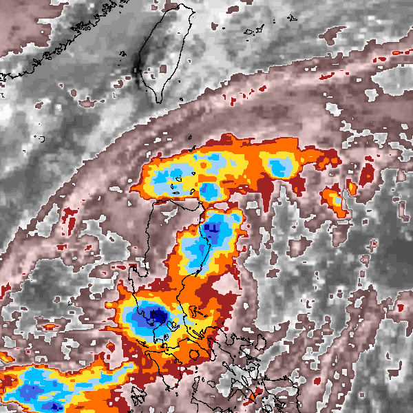
Tropical Depression NOT_NAMED (2000139N18122)
IBTrACS version v04r00. Visit
IBTrACS website for data access.
Please direct all questions to the
IBTrACS Q and A forum
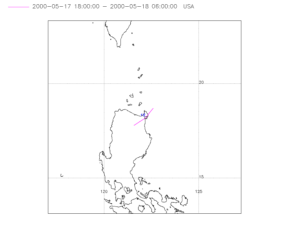
Storm track
-
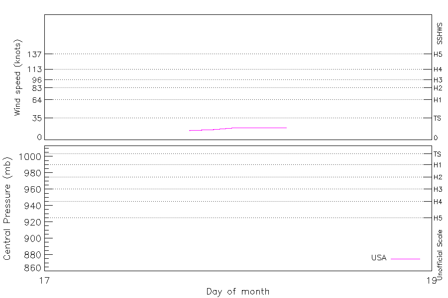
Intensity
-
Wind Radii
-
Intensity Data
-
Source Data
-
All data
Summary Information
Storm track plot
|
Intensity plots
|
Radial wind information
No radial wind information for this storm
|
Position and Intensity Table
Source Information
| Agency |
Information |
| USA |
bwp022000.txt |
| TOKYO |
|
| CMA |
|
| HKO |
|
| NEWDELHI |
|
| REUNION |
|
| BOM |
|
| NADI |
|
| WELLINGTON |
|
| DS824 |
|
| TD9636 |
|
| TD9635 |
|
| NEUMANN |
|
| MLC |
|
All available IBTrACS Data
| SEASON |
BASIN |
SUBBASIN |
ISO_TIME_________ |
NATURE |
LAT |
LON |
DIST2LAND |
LANDFALL |
IFLAG |
USA AGENCY |
USA ATCF_ID |
USA LAT |
USA LON |
USA STATUS |
USA WIND |
USA SSHS |
STORM SPEED |
STORM DIR |
| Year |
|
|
|
|
degrees north |
degrees east |
km |
km |
|
|
|
degrees north |
degrees east |
|
kts |
1 |
kts |
degrees |
| 2000 |
WP |
MM |
2000-05-17 18:00:00 |
TS |
17.80 |
121.60 |
0 |
0 |
O_____________ |
jtwc_wp |
WP022000 |
17.80 |
121.60 |
TD |
15 |
-1 |
7 |
58 |
| 2000 |
WP |
MM |
21:00:00 |
TS |
18.00 |
121.92 |
0 |
0 |
P_____________ |
|
WP022000 |
18.00 |
121.90 |
TD |
17 |
-1 |
7 |
55 |
| 2000 |
WP |
MM |
2000-05-18 00:00:00 |
TS |
18.20 |
122.20 |
0 |
0 |
O_____________ |
jtwc_wp |
WP022000 |
18.20 |
122.20 |
TD |
20 |
-1 |
6 |
46 |
| 2000 |
WP |
MM |
03:00:00 |
TS |
18.43 |
122.40 |
10 |
10 |
P_____________ |
|
WP022000 |
18.45 |
122.40 |
TD |
20 |
-1 |
6 |
37 |
| 2000 |
WP |
MM |
06:00:00 |
TS |
18.70 |
122.60 |
46 |
|
O_____________ |
jtwc_wp |
WP022000 |
18.70 |
122.60 |
TD |
20 |
-1 |
7 |
35 |