1997
Tropical Storm OLIWA (1997247N14179)
IBTrACS version v04r00. Visit
IBTrACS website for data access.
Please direct all questions to the
IBTrACS Q and A forum
Storm track
-
Intensity
-
Wind Radii
-
Intensity Data
-
Source Data
-
All data
Summary Information
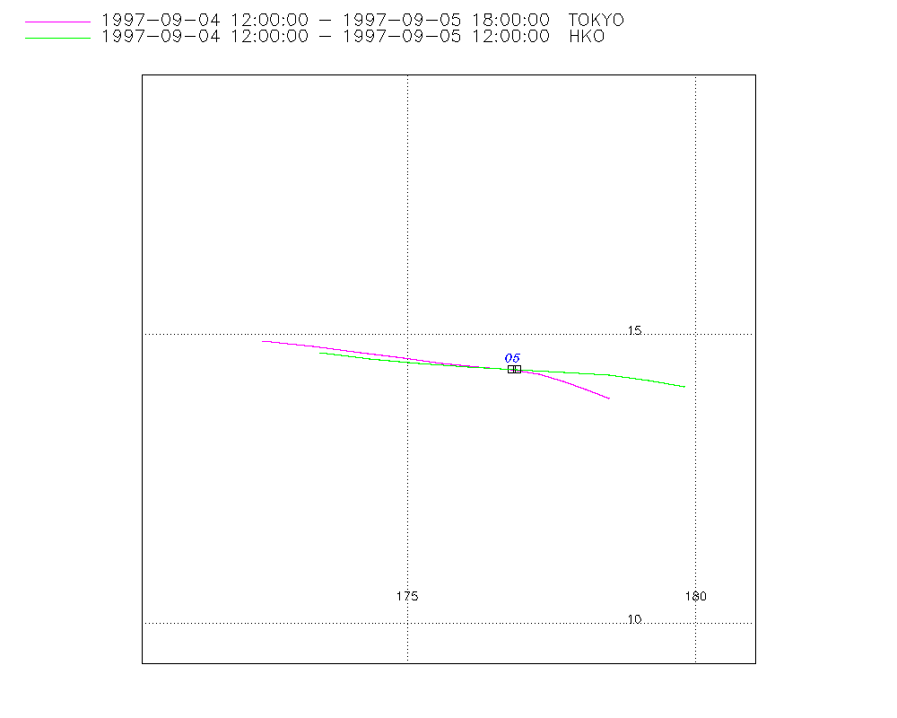
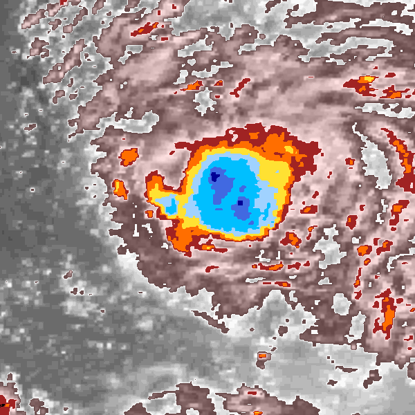
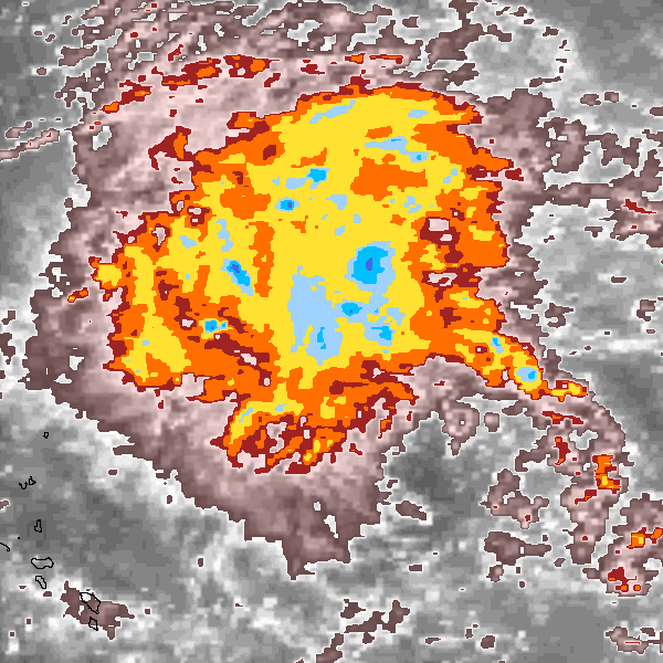
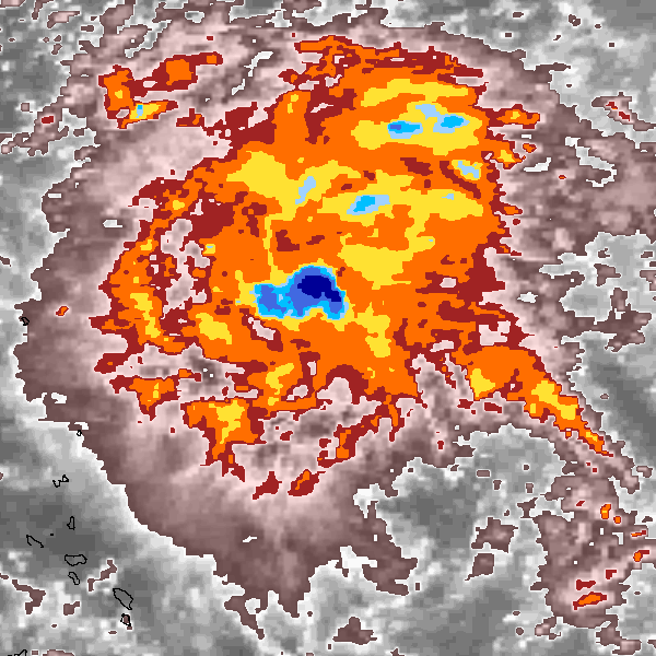
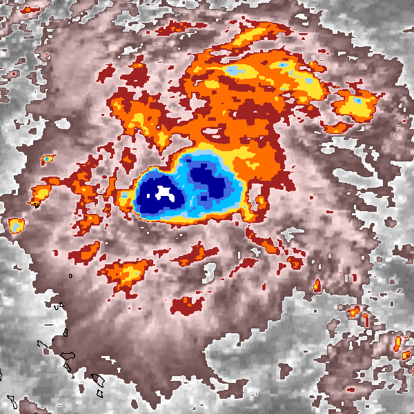
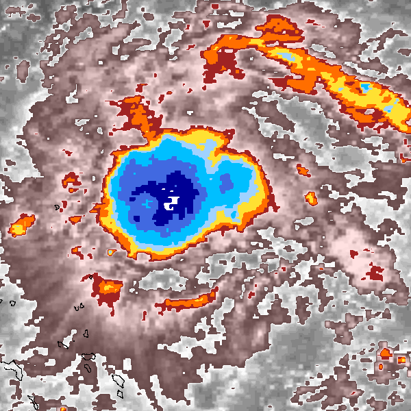
Storm track plot
|
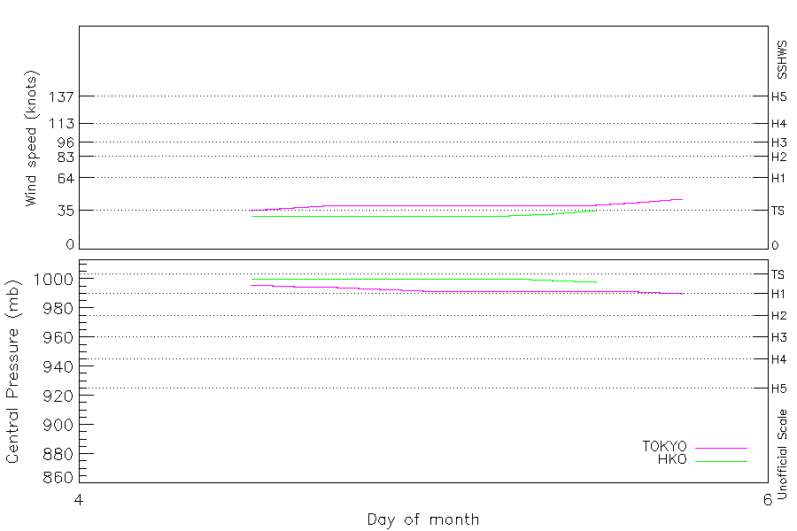
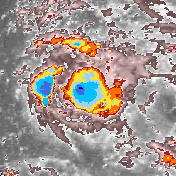
Intensity plots
|
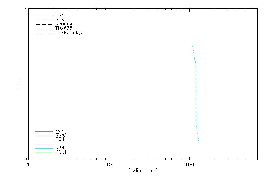
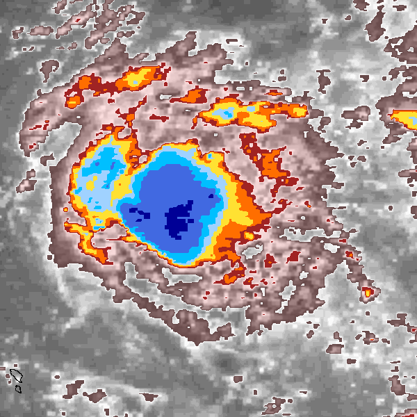
Radial wind information
|
Position and Intensity Table
| BASIN |
ISO_TIME_________ |
NATURE |
LAT |
LON |
WMO WIND |
WMO PRES |
TOKYO WIND |
TOKYO PRES |
HKO WIND |
HKO PRES |
| |
|
|
degrees north |
degrees east |
kts |
mb |
kts |
mb |
kts |
mb |
| WP |
1997-09-04 09:00:00 |
TS |
13.78 |
178.81 |
|
|
|
|
|
|
| WP |
12:00:00 |
TS |
13.97 |
178.93 |
35 |
996 |
35 |
996 |
30 |
1000 |
| WP |
15:00:00 |
TS |
14.11 |
178.54 |
|
|
37 |
995 |
30 |
1000 |
| WP |
18:00:00 |
TS |
14.24 |
178.04 |
40 |
994 |
40 |
994 |
30 |
1000 |
| WP |
21:00:00 |
TS |
14.34 |
177.50 |
|
|
40 |
993 |
30 |
1000 |
| WP |
1997-09-05 00:00:00 |
TS |
14.40 |
176.85 |
40 |
992 |
40 |
992 |
30 |
1000 |
| WP |
03:00:00 |
TS |
14.45 |
176.15 |
|
|
40 |
992 |
30 |
1000 |
| WP |
06:00:00 |
TS |
14.50 |
175.43 |
40 |
992 |
40 |
992 |
30 |
1000 |
| WP |
09:00:00 |
TS |
14.59 |
174.74 |
|
|
40 |
992 |
32 |
999 |
| WP |
12:00:00 |
TS |
14.70 |
174.02 |
40 |
992 |
40 |
992 |
35 |
998 |
| WP |
15:00:00 |
TS |
14.79 |
173.38 |
|
|
42 |
991 |
|
|
| WP |
18:00:00 |
TS |
14.90 |
172.50 |
45 |
990 |
45 |
990 |
|
|
Source Information
| Agency |
Information |
| USA |
|
| TOKYO |
bst_all.txt:Line=47664:OLIWA:9719 |
| CMA |
|
| HKO |
tc-besttrack-data-current.txt:Line=26681:OLIWA |
| NEWDELHI |
|
| REUNION |
|
| BOM |
|
| NADI |
|
| WELLINGTON |
|
| DS824 |
|
| TD9636 |
|
| TD9635 |
|
| NEUMANN |
|
| MLC |
|
All available IBTrACS Data
| SEASON |
BASIN |
SUBBASIN |
ISO_TIME_________ |
NATURE |
LAT |
LON |
WMO WIND |
WMO PRES |
WMO AGENCY |
DIST2LAND |
LANDFALL |
IFLAG |
USA SSHS |
TOKYO LAT |
TOKYO LON |
TOKYO GRADE |
TOKYO WIND |
TOKYO PRES |
TOKYO R50_DIR |
TOKYO R30_DIR |
TOKYO R30_LONG |
TOKYO R30_SHORT |
TOKYO LAND |
HKO LAT |
HKO LON |
HKO CAT |
HKO WIND |
HKO PRES |
STORM SPEED |
STORM DIR |
| Year |
|
|
|
|
degrees north |
degrees east |
kts |
mb |
|
km |
km |
|
1 |
degrees north |
degrees east |
1 |
kts |
mb |
|
|
nmile |
nmile |
1 |
degrees north |
degrees east |
|
kts |
mb |
kts |
degrees |
| 1997 |
WP |
MM |
1997-09-04 09:00:00 |
TS |
13.78 |
178.81 |
|
|
|
2439 |
2420 |
______________ |
-5 |
|
|
|
|
|
|
|
|
|
|
|
|
|
|
|
4 |
31 |
| 1997 |
WP |
MM |
12:00:00 |
TS |
13.97 |
178.93 |
35 |
996 |
tokyo |
2420 |
2420 |
_O_O__________ |
-5 |
13.90 |
178.50 |
3 |
35 |
996 |
0 |
9 |
110 |
110 |
0 |
14.10 |
179.80 |
TD |
30 |
1000 |
4 |
322 |
| 1997 |
WP |
MM |
15:00:00 |
TS |
14.11 |
178.54 |
|
|
|
2455 |
2455 |
_P_P__________ |
-5 |
14.06 |
178.10 |
3 |
37 |
995 |
0 |
9 |
115 |
115 |
|
14.21 |
179.18 |
TD |
30 |
1000 |
9 |
288 |
| 1997 |
WP |
MM |
18:00:00 |
TS |
14.24 |
178.04 |
40 |
994 |
tokyo |
2500 |
2495 |
_O_O__________ |
-5 |
14.20 |
177.70 |
3 |
40 |
994 |
0 |
9 |
120 |
120 |
0 |
14.30 |
178.50 |
TD |
30 |
1000 |
10 |
282 |
| 1997 |
WP |
MM |
21:00:00 |
TS |
14.34 |
177.50 |
|
|
|
2545 |
2545 |
_P_P__________ |
-5 |
14.31 |
177.28 |
3 |
40 |
993 |
0 |
9 |
120 |
120 |
|
14.36 |
177.73 |
TD |
30 |
1000 |
12 |
278 |
| 1997 |
WP |
MM |
1997-09-05 00:00:00 |
TS |
14.40 |
176.85 |
40 |
992 |
tokyo |
2600 |
2600 |
_O_O__________ |
-5 |
14.40 |
176.80 |
3 |
40 |
992 |
0 |
9 |
120 |
120 |
0 |
14.40 |
176.90 |
TD |
30 |
1000 |
13 |
275 |
| 1997 |
WP |
MM |
03:00:00 |
TS |
14.45 |
176.15 |
|
|
|
2680 |
2675 |
_P_P__________ |
-5 |
14.45 |
176.24 |
3 |
40 |
992 |
0 |
9 |
120 |
120 |
|
14.44 |
176.06 |
TD |
30 |
1000 |
14 |
274 |
| 1997 |
WP |
MM |
06:00:00 |
TS |
14.50 |
175.43 |
40 |
992 |
tokyo |
2745 |
2745 |
_O_O__________ |
-5 |
14.50 |
175.60 |
3 |
40 |
992 |
0 |
9 |
120 |
120 |
0 |
14.50 |
175.20 |
TD |
30 |
1000 |
14 |
276 |
| 1997 |
WP |
MM |
09:00:00 |
TS |
14.59 |
174.74 |
|
|
|
2812 |
2812 |
_P_P__________ |
-5 |
14.59 |
174.94 |
3 |
40 |
992 |
0 |
9 |
120 |
120 |
|
14.59 |
174.35 |
TD |
32 |
999 |
14 |
278 |
| 1997 |
WP |
MM |
12:00:00 |
TS |
14.70 |
174.02 |
40 |
992 |
tokyo |
2878 |
2878 |
_O_O__________ |
-5 |
14.70 |
174.20 |
3 |
40 |
992 |
0 |
9 |
120 |
120 |
0 |
14.70 |
173.50 |
TS |
35 |
998 |
13 |
279 |
| 1997 |
WP |
MM |
15:00:00 |
TS |
14.79 |
173.38 |
|
|
|
2935 |
2916 |
_P____________ |
-5 |
14.80 |
173.38 |
3 |
42 |
991 |
0 |
9 |
125 |
125 |
|
|
|
TS |
|
|
15 |
278 |
| 1997 |
WP |
MM |
18:00:00 |
TS |
14.90 |
172.50 |
45 |
990 |
tokyo |
2912 |
|
_O____________ |
-5 |
14.90 |
172.50 |
3 |
45 |
990 |
0 |
9 |
130 |
130 |
0 |
|
|
|
|
|
17 |
277 |