1997
Tropical Depression KELI (1997158S07192)
IBTrACS version v04r00. Visit
IBTrACS website for data access.
Please direct all questions to the
IBTrACS Q and A forum
Storm track
-
Intensity
-
Wind Radii
-
Intensity Data
-
Source Data
-
All data
Summary Information
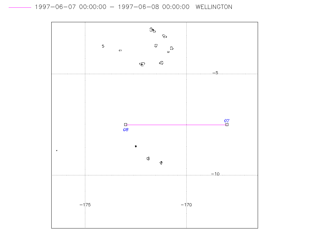
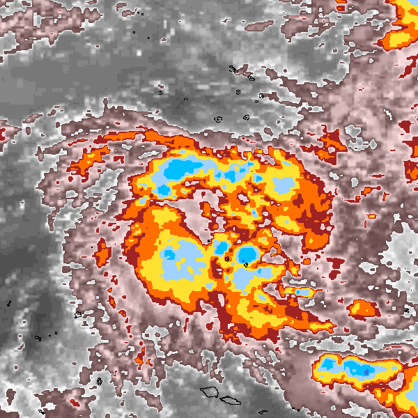
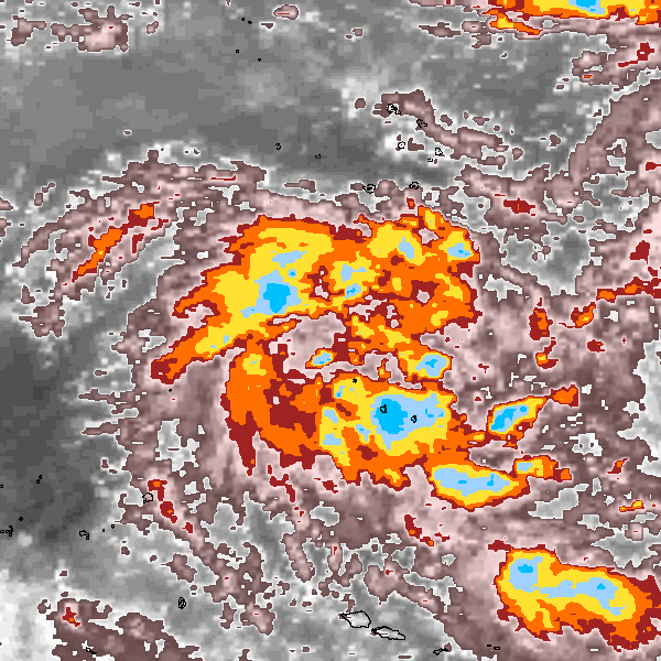
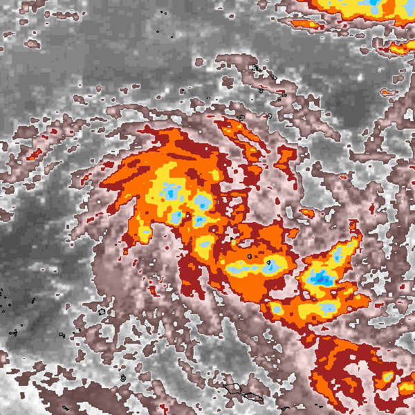
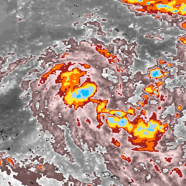
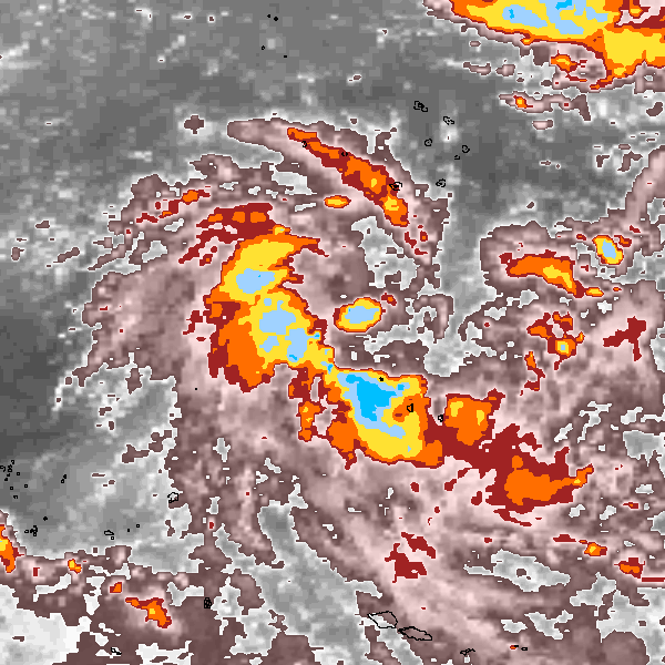
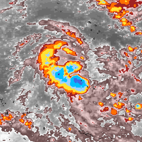
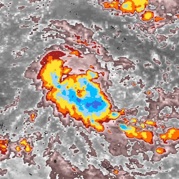
Storm track plot
|
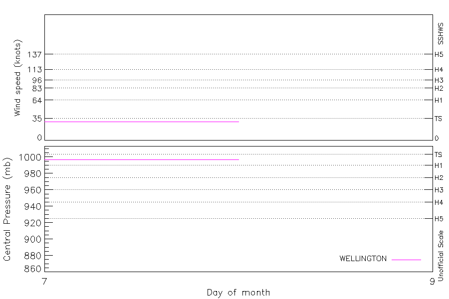
Intensity plots
|
Radial wind information
No radial wind information for this storm
|
Position and Intensity Table
Source Information
| Agency |
Information |
| USA |
|
| TOKYO |
|
| CMA |
|
| HKO |
|
| NEWDELHI |
|
| REUNION |
|
| BOM |
|
| NADI |
|
| WELLINGTON |
TC_BT_1967_2006.csv:Line=5599:KELI |
| DS824 |
|
| TD9636 |
|
| TD9635 |
|
| NEUMANN |
|
| MLC |
|
All available IBTrACS Data
| SEASON |
BASIN |
SUBBASIN |
ISO_TIME_________ |
NATURE |
LAT |
LON |
DIST2LAND |
LANDFALL |
IFLAG |
USA SSHS |
WELLINGTON LAT |
WELLINGTON LON |
WELLINGTON WIND |
WELLINGTON PRES |
STORM SPEED |
STORM DIR |
| Year |
|
|
|
|
degrees north |
degrees east |
km |
km |
|
1 |
degrees north |
degrees east |
kts |
mb |
kts |
degrees |
| 1997 |
SP |
MM |
1997-06-07 00:00:00 |
NR |
-7.50 |
192.00 |
826 |
790 |
________O_____ |
-5 |
-7.50 |
-168.00 |
30 |
997 |
12 |
270 |
| 1997 |
SP |
MM |
03:00:00 |
NR |
-7.50 |
191.40 |
790 |
757 |
________P_____ |
-5 |
-7.50 |
-168.62 |
30 |
997 |
12 |
270 |
| 1997 |
SP |
MM |
06:00:00 |
NR |
-7.50 |
190.79 |
757 |
729 |
________P_____ |
-5 |
-7.50 |
-169.25 |
30 |
997 |
12 |
270 |
| 1997 |
SP |
MM |
09:00:00 |
NR |
-7.50 |
190.16 |
729 |
703 |
________P_____ |
-5 |
-7.50 |
-169.88 |
30 |
997 |
13 |
270 |
| 1997 |
SP |
MM |
12:00:00 |
NR |
-7.50 |
189.50 |
703 |
686 |
________O_____ |
-5 |
-7.50 |
-170.50 |
30 |
997 |
13 |
270 |
| 1997 |
SP |
MM |
15:00:00 |
NR |
-7.50 |
188.82 |
684 |
675 |
________P_____ |
-5 |
-7.50 |
-171.12 |
30 |
997 |
13 |
270 |
| 1997 |
SP |
MM |
18:00:00 |
NR |
-7.49 |
188.14 |
674 |
672 |
________P_____ |
-5 |
-7.50 |
-171.75 |
30 |
997 |
13 |
270 |
| 1997 |
SP |
MM |
21:00:00 |
NR |
-7.49 |
187.52 |
672 |
672 |
________P_____ |
-5 |
-7.50 |
-172.38 |
30 |
997 |
11 |
270 |
| 1997 |
SP |
MM |
1997-06-08 00:00:00 |
NR |
-7.50 |
187.00 |
672 |
672 |
________O_____ |
-5 |
-7.50 |
-173.00 |
30 |
997 |
8 |
268 |
| 1997 |
SP |
MM |
03:00:00 |
NR |
-7.52 |
186.70 |
674 |
674 |
______________ |
-5 |
|
|
|
|
5 |
265 |
| 1997 |
SP |
MM |
06:00:00 |
NR |
-7.54 |
186.54 |
676 |
665 |
______________ |
-5 |
|
|
|
|
2 |
255 |
| 1997 |
SP |
MM |
09:00:00 |
NR |
-7.57 |
186.48 |
665 |
665 |
______________ |
-5 |
|
|
|
|
1 |
208 |
| 1997 |
SP |
MM |
12:00:00 |
NR |
-7.61 |
186.49 |
665 |
654 |
______________ |
-5 |
|
|
|
|
1 |
157 |
| 1997 |
SP |
MM |
15:00:00 |
NR |
-7.65 |
186.53 |
654 |
|
______________ |
-5 |
|
|
|
|
1 |
140 |