1997
Tropical Cyclone (Gale) NOT_NAMED (1997147S12168)
IBTrACS version v04r00. Visit
IBTrACS website for data access.
Please direct all questions to the
IBTrACS Q and A forum
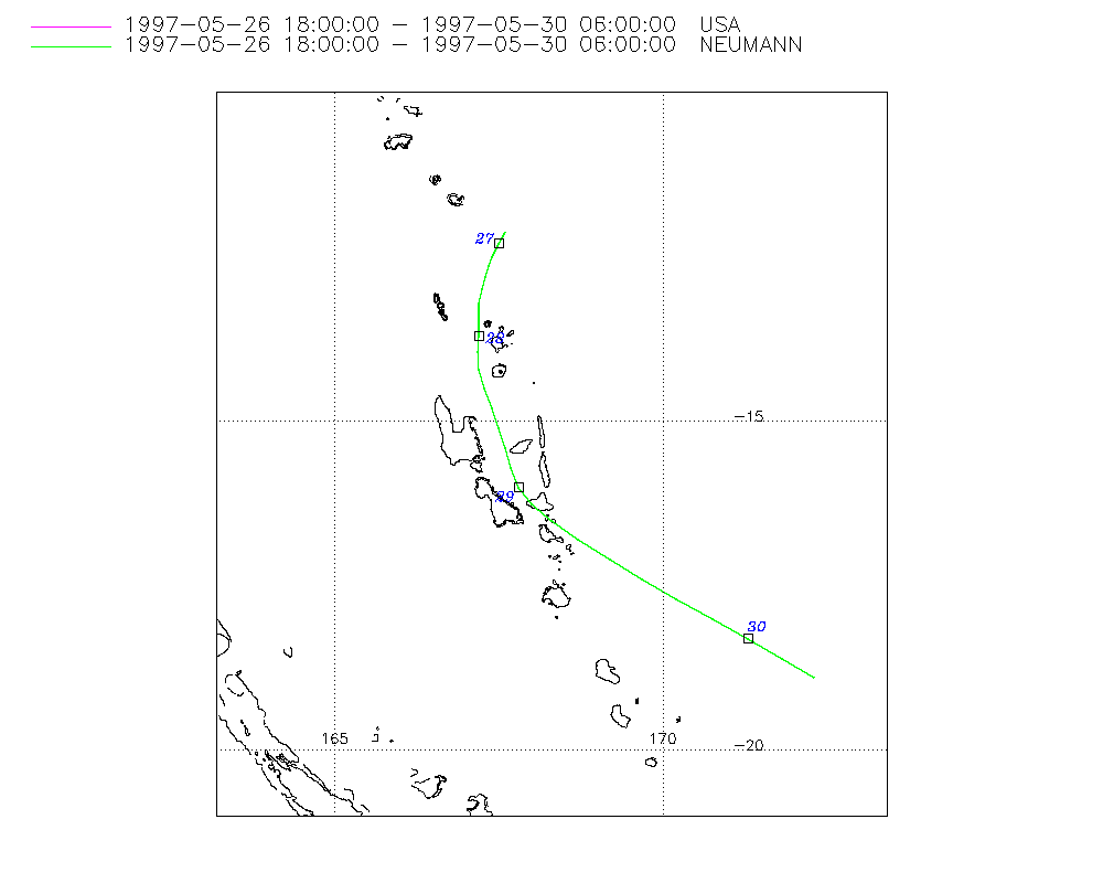
Storm track
-
Intensity
-
Wind Radii
-
Intensity Data
-
Source Data
-
All data
Summary Information
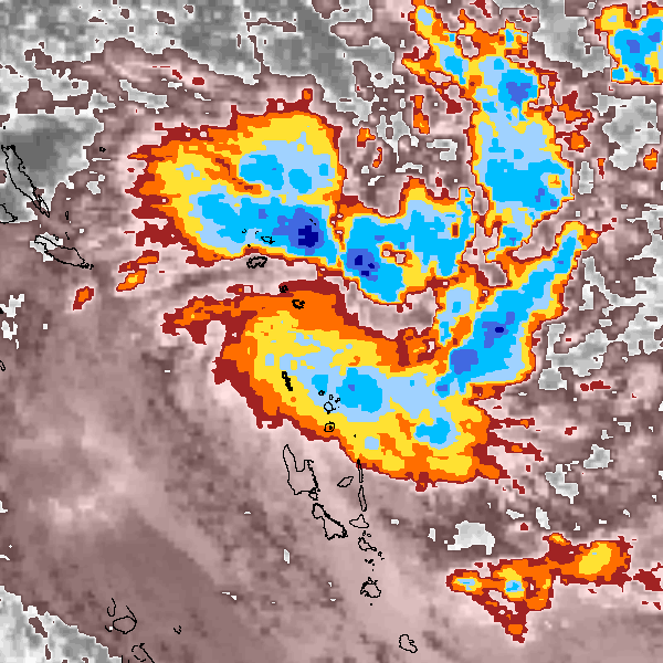
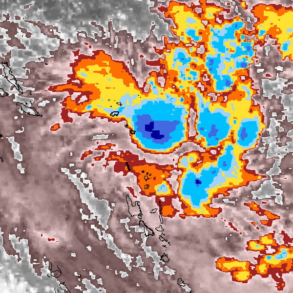
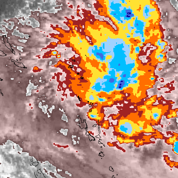
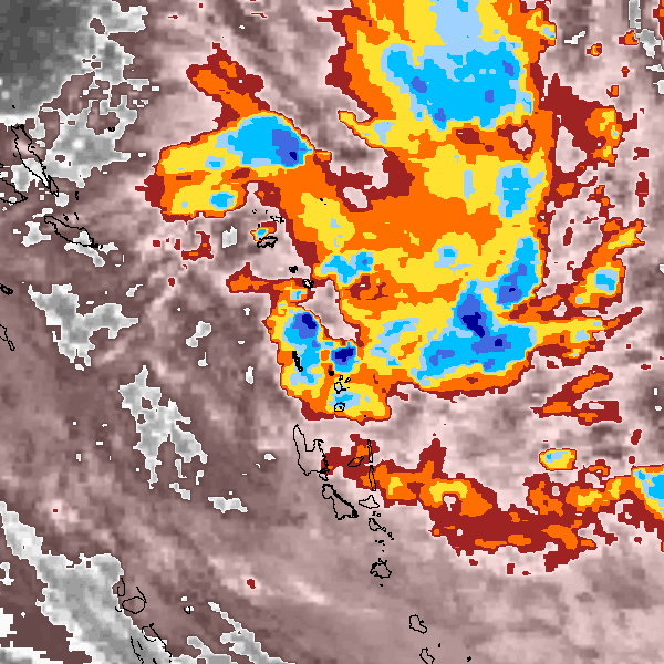
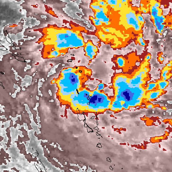
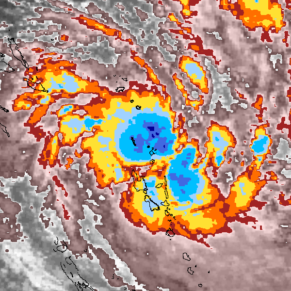
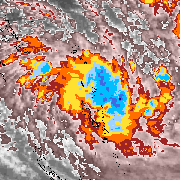
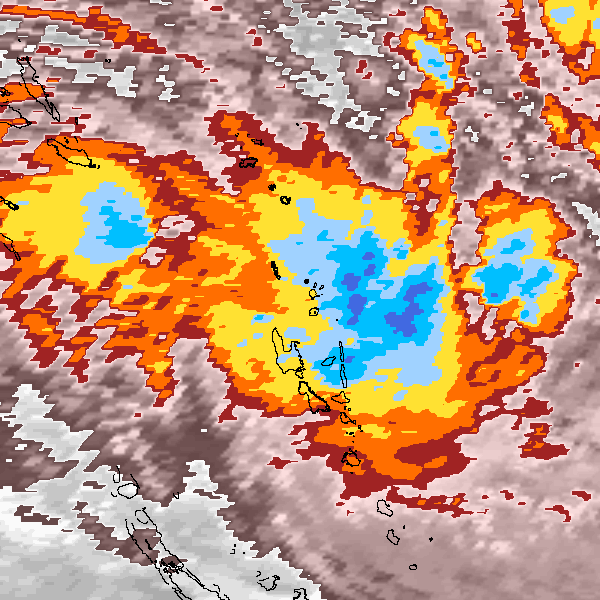
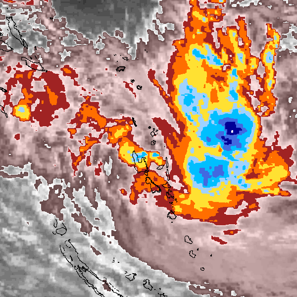
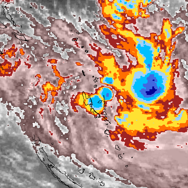
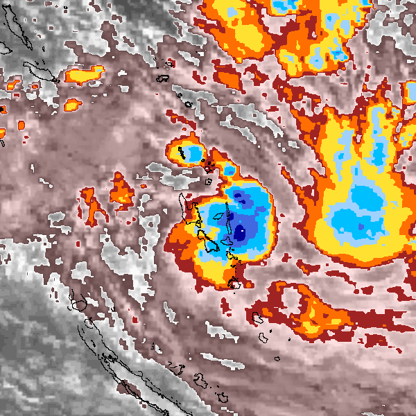
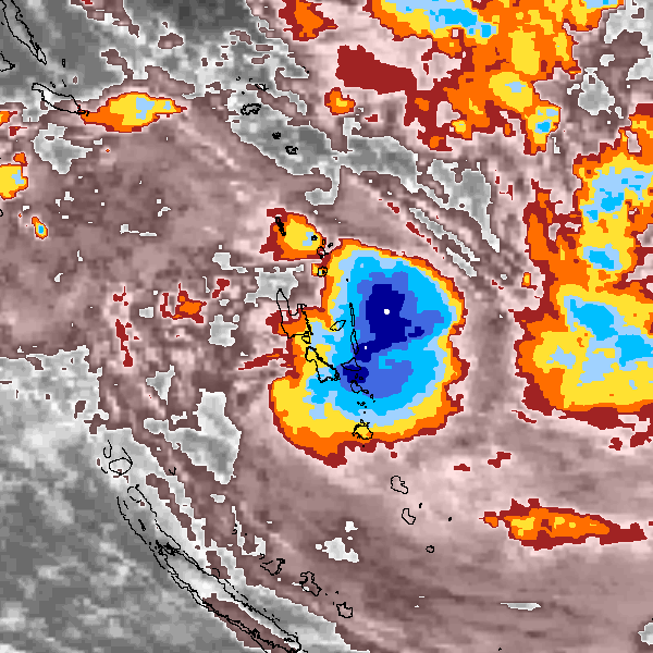
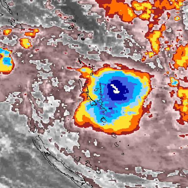
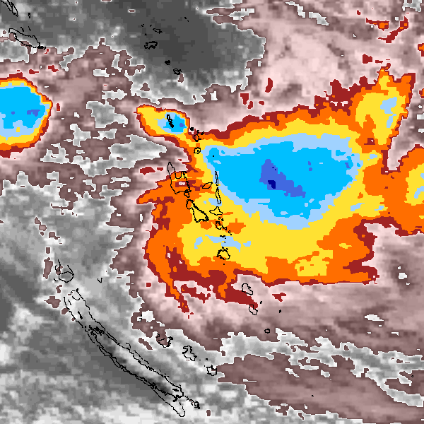
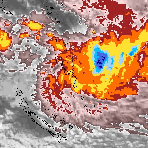
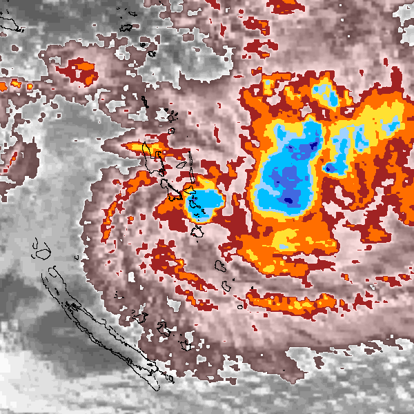
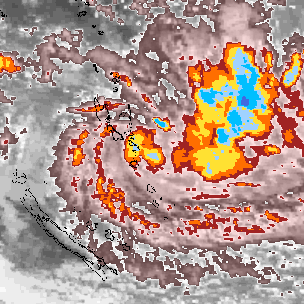
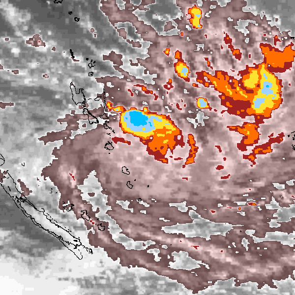
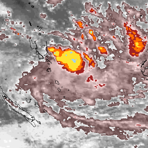
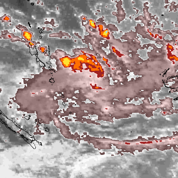
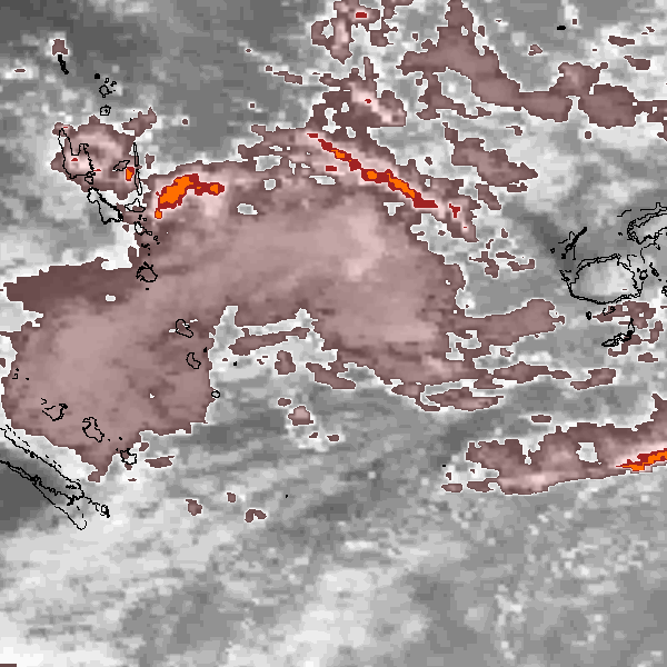
Storm track plot
|
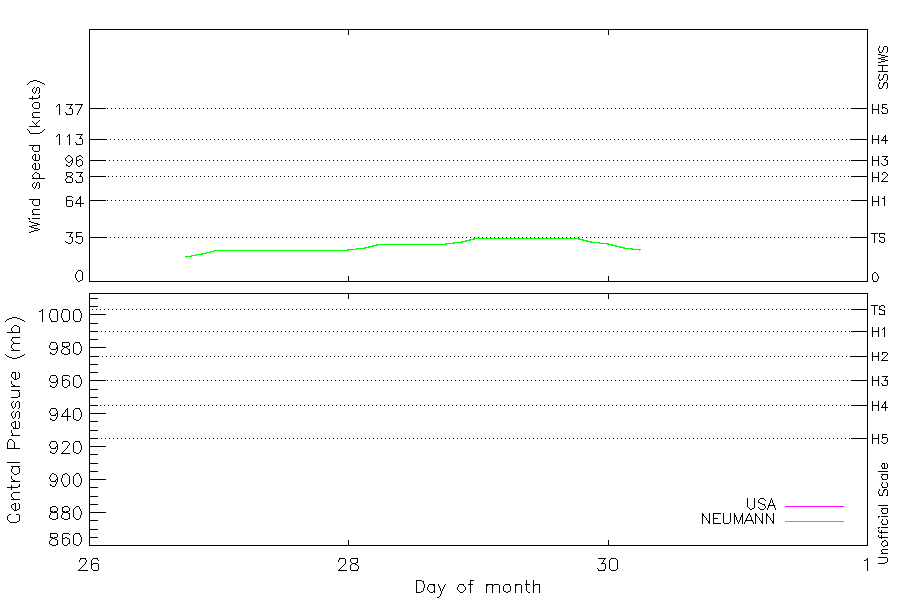
Intensity plots
|
Radial wind information
No radial wind information for this storm
|
Position and Intensity Table
Source Information
| Agency |
Information |
| USA |
bsh371997.txt |
| TOKYO |
|
| CMA |
|
| HKO |
|
| NEWDELHI |
|
| REUNION |
|
| BOM |
|
| NADI |
|
| WELLINGTON |
|
| DS824 |
|
| TD9636 |
|
| TD9635 |
|
| NEUMANN |
tracks.sh:Storm=1101:HSK3797:BSH371997:JTWC |
| MLC |
|
All available IBTrACS Data
| SEASON |
BASIN |
SUBBASIN |
ISO_TIME_________ |
NATURE |
LAT |
LON |
DIST2LAND |
LANDFALL |
IFLAG |
USA AGENCY |
USA ATCF_ID |
USA LAT |
USA LON |
USA WIND |
USA SSHS |
NEUMANN LAT |
NEUMANN LON |
NEUMANN CLASS |
NEUMANN WIND |
STORM SPEED |
STORM DIR |
| Year |
|
|
|
|
degrees north |
degrees east |
km |
km |
|
|
|
degrees north |
degrees east |
kts |
1 |
degrees north |
degrees east |
|
kts |
kts |
degrees |
| 1997 |
SP |
MM |
1997-05-26 18:00:00 |
TS |
-12.10 |
167.60 |
310 |
300 |
O___________O_ |
jtwc_sh |
SH371997 |
-12.10 |
167.60 |
20 |
-1 |
-12.10 |
167.60 |
TC |
20 |
2 |
210 |
| 1997 |
SP |
MM |
21:00:00 |
TS |
-12.20 |
167.55 |
300 |
285 |
P___________P_ |
|
SH371997 |
-12.20 |
167.55 |
22 |
-1 |
-12.20 |
167.55 |
TC |
22 |
2 |
207 |
| 1997 |
SP |
MM |
1997-05-27 00:00:00 |
TS |
-12.30 |
167.50 |
285 |
275 |
O___________O_ |
jtwc_sh |
SH371997 |
-12.30 |
167.50 |
25 |
-1 |
-12.30 |
167.50 |
TC |
25 |
2 |
207 |
| 1997 |
SP |
MM |
03:00:00 |
TS |
-12.39 |
167.45 |
275 |
261 |
P___________P_ |
|
SH371997 |
-12.39 |
167.45 |
25 |
-1 |
-12.39 |
167.45 |
TC |
25 |
2 |
207 |
| 1997 |
SP |
MM |
06:00:00 |
TS |
-12.50 |
167.40 |
261 |
250 |
O___________O_ |
jtwc_sh |
SH371997 |
-12.50 |
167.40 |
25 |
-1 |
-12.50 |
167.40 |
TC |
25 |
3 |
202 |
| 1997 |
SP |
MM |
09:00:00 |
TS |
-12.63 |
167.35 |
247 |
225 |
P___________P_ |
|
SH371997 |
-12.63 |
167.35 |
25 |
-1 |
-12.63 |
167.35 |
TC |
25 |
3 |
197 |
| 1997 |
SP |
MM |
12:00:00 |
TS |
-12.80 |
167.30 |
225 |
201 |
O___________O_ |
jtwc_sh |
SH371997 |
-12.80 |
167.30 |
25 |
-1 |
-12.80 |
167.30 |
TC |
25 |
4 |
196 |
| 1997 |
SP |
MM |
15:00:00 |
TS |
-12.99 |
167.24 |
201 |
180 |
P___________P_ |
|
SH371997 |
-12.99 |
167.24 |
25 |
-1 |
-12.99 |
167.24 |
TC |
25 |
4 |
193 |
| 1997 |
SP |
MM |
18:00:00 |
TS |
-13.20 |
167.20 |
180 |
159 |
O___________O_ |
jtwc_sh |
SH371997 |
-13.20 |
167.20 |
25 |
-1 |
-13.20 |
167.20 |
TC |
25 |
5 |
187 |
| 1997 |
SP |
MM |
21:00:00 |
TS |
-13.44 |
167.19 |
159 |
129 |
P___________P_ |
|
SH371997 |
-13.44 |
167.19 |
25 |
-1 |
-13.44 |
167.19 |
TC |
25 |
5 |
178 |
| 1997 |
SP |
MM |
1997-05-28 00:00:00 |
TS |
-13.70 |
167.20 |
129 |
110 |
O___________O_ |
jtwc_sh |
SH371997 |
-13.70 |
167.20 |
25 |
-1 |
-13.70 |
167.20 |
TC |
25 |
5 |
182 |
| 1997 |
SP |
MM |
03:00:00 |
TS |
-13.94 |
167.19 |
110 |
85 |
P___________P_ |
|
SH371997 |
-13.94 |
167.19 |
27 |
-1 |
-13.94 |
167.19 |
TC |
27 |
5 |
178 |
| 1997 |
SP |
MM |
06:00:00 |
TS |
-14.20 |
167.20 |
85 |
59 |
O___________O_ |
jtwc_sh |
SH371997 |
-14.20 |
167.20 |
30 |
-1 |
-14.20 |
167.20 |
TC |
30 |
6 |
170 |
| 1997 |
SP |
MM |
09:00:00 |
TS |
-14.49 |
167.28 |
59 |
39 |
P___________P_ |
|
SH371997 |
-14.49 |
167.28 |
30 |
-1 |
-14.49 |
167.28 |
TC |
30 |
6 |
162 |
| 1997 |
SP |
MM |
12:00:00 |
TS |
-14.80 |
167.40 |
39 |
34 |
O___________O_ |
jtwc_sh |
SH371997 |
-14.80 |
167.40 |
30 |
-1 |
-14.80 |
167.40 |
TC |
30 |
6 |
161 |
| 1997 |
SP |
MM |
15:00:00 |
TS |
-15.10 |
167.50 |
42 |
42 |
P___________P_ |
|
SH371997 |
-15.10 |
167.50 |
30 |
-1 |
-15.10 |
167.50 |
TC |
30 |
6 |
162 |
| 1997 |
SP |
MM |
18:00:00 |
TS |
-15.40 |
167.60 |
44 |
42 |
O___________O_ |
jtwc_sh |
SH371997 |
-15.40 |
167.60 |
30 |
-1 |
-15.40 |
167.60 |
TC |
30 |
6 |
164 |
| 1997 |
SP |
MM |
21:00:00 |
TS |
-15.71 |
167.68 |
46 |
30 |
P___________P_ |
|
SH371997 |
-15.71 |
167.68 |
32 |
-1 |
-15.71 |
167.68 |
TC |
32 |
6 |
162 |
| 1997 |
SP |
MM |
1997-05-29 00:00:00 |
TS |
-16.00 |
167.80 |
30 |
15 |
O___________O_ |
jtwc_sh |
SH371997 |
-16.00 |
167.80 |
35 |
0 |
-16.00 |
167.80 |
TC |
35 |
6 |
151 |
| 1997 |
SP |
MM |
03:00:00 |
TS |
-16.25 |
168.00 |
24 |
21 |
P___________P_ |
|
SH371997 |
-16.25 |
168.00 |
35 |
0 |
-16.25 |
168.00 |
TC |
35 |
7 |
136 |
| 1997 |
SP |
MM |
06:00:00 |
TS |
-16.50 |
168.30 |
53 |
53 |
O___________O_ |
jtwc_sh |
SH371997 |
-16.50 |
168.30 |
35 |
0 |
-16.50 |
168.30 |
TC |
35 |
9 |
128 |
| 1997 |
SP |
MM |
09:00:00 |
TS |
-16.79 |
168.71 |
98 |
98 |
P___________P_ |
|
SH371997 |
-16.79 |
168.71 |
35 |
0 |
-16.79 |
168.71 |
TC |
35 |
11 |
125 |
| 1997 |
SP |
MM |
12:00:00 |
TS |
-17.10 |
169.20 |
159 |
159 |
O___________O_ |
jtwc_sh |
SH371997 |
-17.10 |
169.20 |
35 |
0 |
-17.10 |
169.20 |
TC |
35 |
11 |
123 |
| 1997 |
SP |
MM |
15:00:00 |
TS |
-17.40 |
169.69 |
221 |
221 |
P___________P_ |
|
SH371997 |
-17.40 |
169.69 |
35 |
0 |
-17.40 |
169.69 |
TC |
35 |
11 |
122 |
| 1997 |
SP |
MM |
18:00:00 |
TS |
-17.70 |
170.20 |
283 |
283 |
O___________O_ |
jtwc_sh |
SH371997 |
-17.70 |
170.20 |
35 |
0 |
-17.70 |
170.20 |
TC |
35 |
12 |
121 |
| 1997 |
SP |
MM |
21:00:00 |
TS |
-18.00 |
170.75 |
354 |
354 |
P___________P_ |
|
SH371997 |
-18.00 |
170.75 |
32 |
-1 |
-18.00 |
170.75 |
TC |
32 |
12 |
120 |
| 1997 |
SP |
MM |
1997-05-30 00:00:00 |
TS |
-18.30 |
171.30 |
417 |
417 |
O___________O_ |
jtwc_sh |
SH371997 |
-18.30 |
171.30 |
30 |
-1 |
-18.30 |
171.30 |
TC |
30 |
12 |
121 |
| 1997 |
SP |
MM |
03:00:00 |
TS |
-18.60 |
171.81 |
479 |
479 |
P___________P_ |
|
SH371997 |
-18.60 |
171.81 |
27 |
-1 |
-18.60 |
171.81 |
TC |
27 |
11 |
122 |
| 1997 |
SP |
MM |
06:00:00 |
TS |
-18.90 |
172.30 |
526 |
|
O___________O_ |
jtwc_sh |
SH371997 |
-18.90 |
172.30 |
25 |
-1 |
-18.90 |
172.30 |
TC |
25 |
11 |
123 |