1991
Tropical Storm SHARON (1991071N09130)
IBTrACS version v04r00. Visit
IBTrACS website for data access.
Please direct all questions to the
IBTrACS Q and A forum
Storm track
-
Intensity
-
Wind Radii
-
Intensity Data
-
Source Data
-
All data
Summary Information
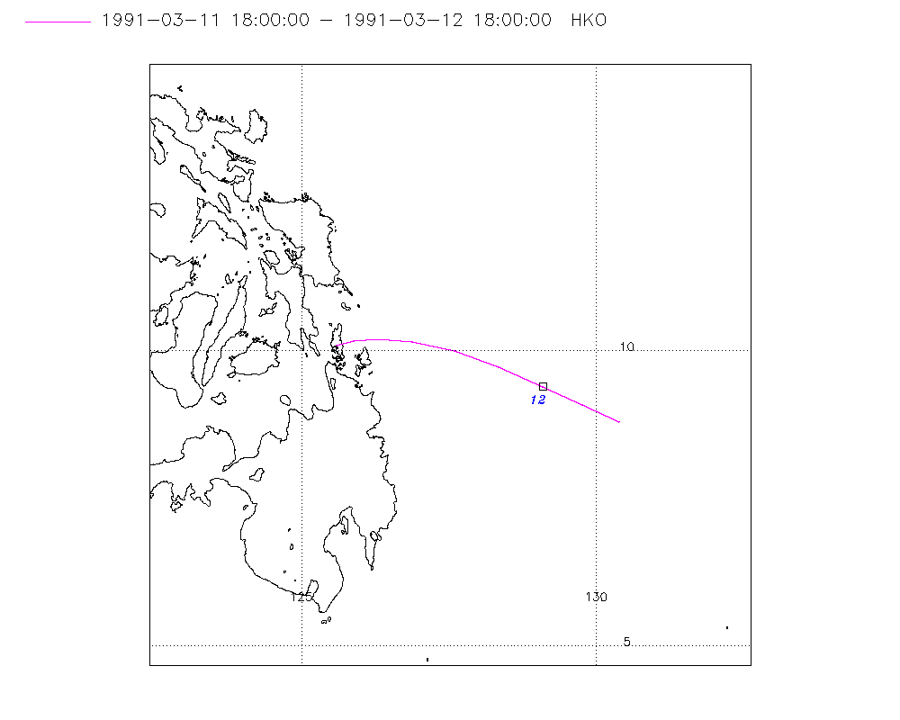
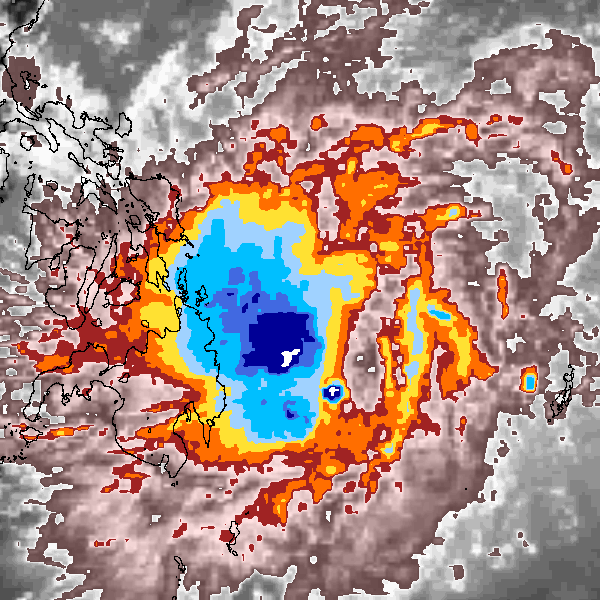
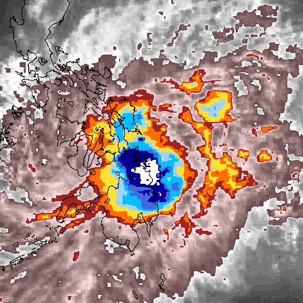
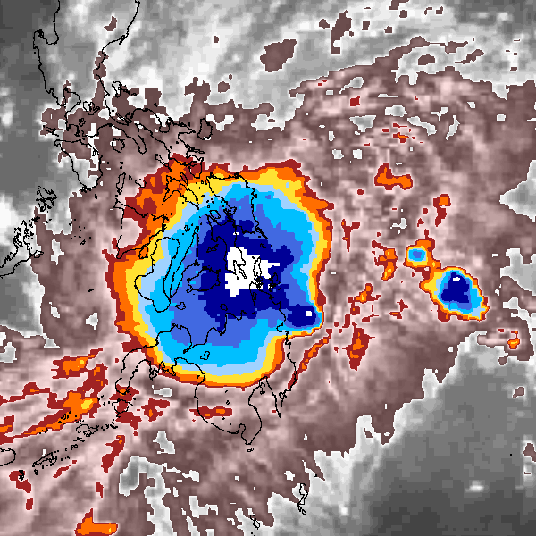
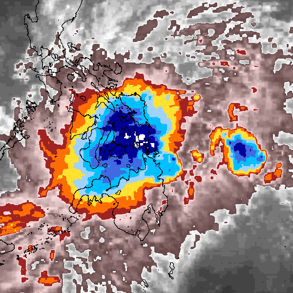
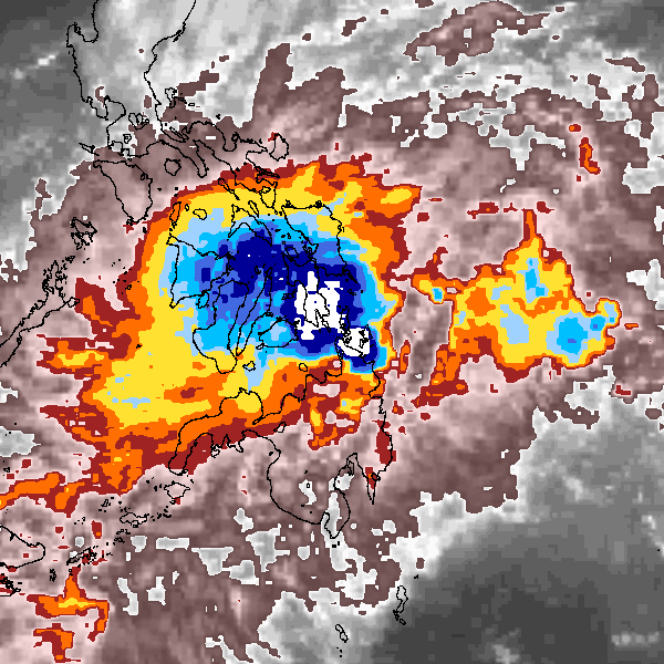
Storm track plot
|
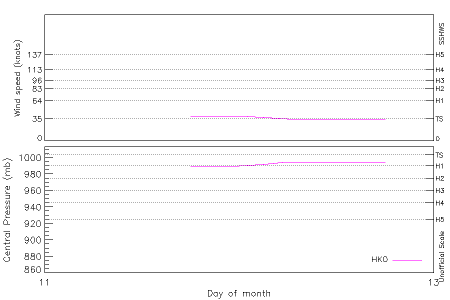
Intensity plots
|
Radial wind information
No radial wind information for this storm
|
Position and Intensity Table
Source Information
| Agency |
Information |
| USA |
|
| TOKYO |
|
| CMA |
|
| HKO |
tc-besttrack-data-current.txt:Line=21284:SHARON |
| NEWDELHI |
|
| REUNION |
|
| BOM |
|
| NADI |
|
| WELLINGTON |
|
| DS824 |
|
| TD9636 |
|
| TD9635 |
|
| NEUMANN |
|
| MLC |
|
All available IBTrACS Data
| SEASON |
BASIN |
SUBBASIN |
ISO_TIME_________ |
NATURE |
LAT |
LON |
DIST2LAND |
LANDFALL |
IFLAG |
USA SSHS |
HKO LAT |
HKO LON |
HKO CAT |
HKO WIND |
HKO PRES |
STORM SPEED |
STORM DIR |
| Year |
|
|
|
|
degrees north |
degrees east |
km |
km |
|
1 |
degrees north |
degrees east |
|
kts |
mb |
kts |
degrees |
| 1991 |
WP |
MM |
1991-03-11 18:00:00 |
NR |
8.80 |
130.40 |
436 |
384 |
___O__________ |
-5 |
8.80 |
130.40 |
TS |
40 |
990 |
14 |
297 |
| 1991 |
WP |
MM |
21:00:00 |
NR |
9.11 |
129.78 |
384 |
314 |
___P__________ |
-5 |
9.09 |
129.78 |
TS |
40 |
990 |
14 |
295 |
| 1991 |
WP |
MM |
1991-03-12 00:00:00 |
NR |
9.40 |
129.10 |
314 |
247 |
___O__________ |
-5 |
9.40 |
129.10 |
TS |
40 |
990 |
15 |
294 |
| 1991 |
WP |
MM |
03:00:00 |
NR |
9.73 |
128.35 |
247 |
177 |
___P__________ |
-5 |
9.73 |
128.35 |
TS |
37 |
992 |
16 |
292 |
| 1991 |
WP |
MM |
06:00:00 |
NR |
10.00 |
127.60 |
177 |
119 |
___O__________ |
-5 |
10.00 |
127.60 |
TS |
35 |
995 |
15 |
286 |
| 1991 |
WP |
MM |
09:00:00 |
NR |
10.15 |
126.89 |
126 |
85 |
___P__________ |
-5 |
10.15 |
126.89 |
TS |
35 |
995 |
13 |
279 |
| 1991 |
WP |
MM |
12:00:00 |
NR |
10.20 |
126.30 |
85 |
64 |
___O__________ |
-5 |
10.20 |
126.30 |
TS |
35 |
995 |
10 |
272 |
| 1991 |
WP |
MM |
15:00:00 |
NR |
10.19 |
125.89 |
64 |
39 |
___P__________ |
-5 |
10.17 |
125.89 |
TS |
35 |
995 |
7 |
262 |
| 1991 |
WP |
MM |
18:00:00 |
NR |
10.10 |
125.60 |
39 |
22 |
___O__________ |
-5 |
10.10 |
125.60 |
TS |
35 |
995 |
6 |
243 |
| 1991 |
WP |
MM |
21:00:00 |
NR |
9.92 |
125.34 |
24 |
|
______________ |
-5 |
|
|
TS |
|
|
6 |
235 |